

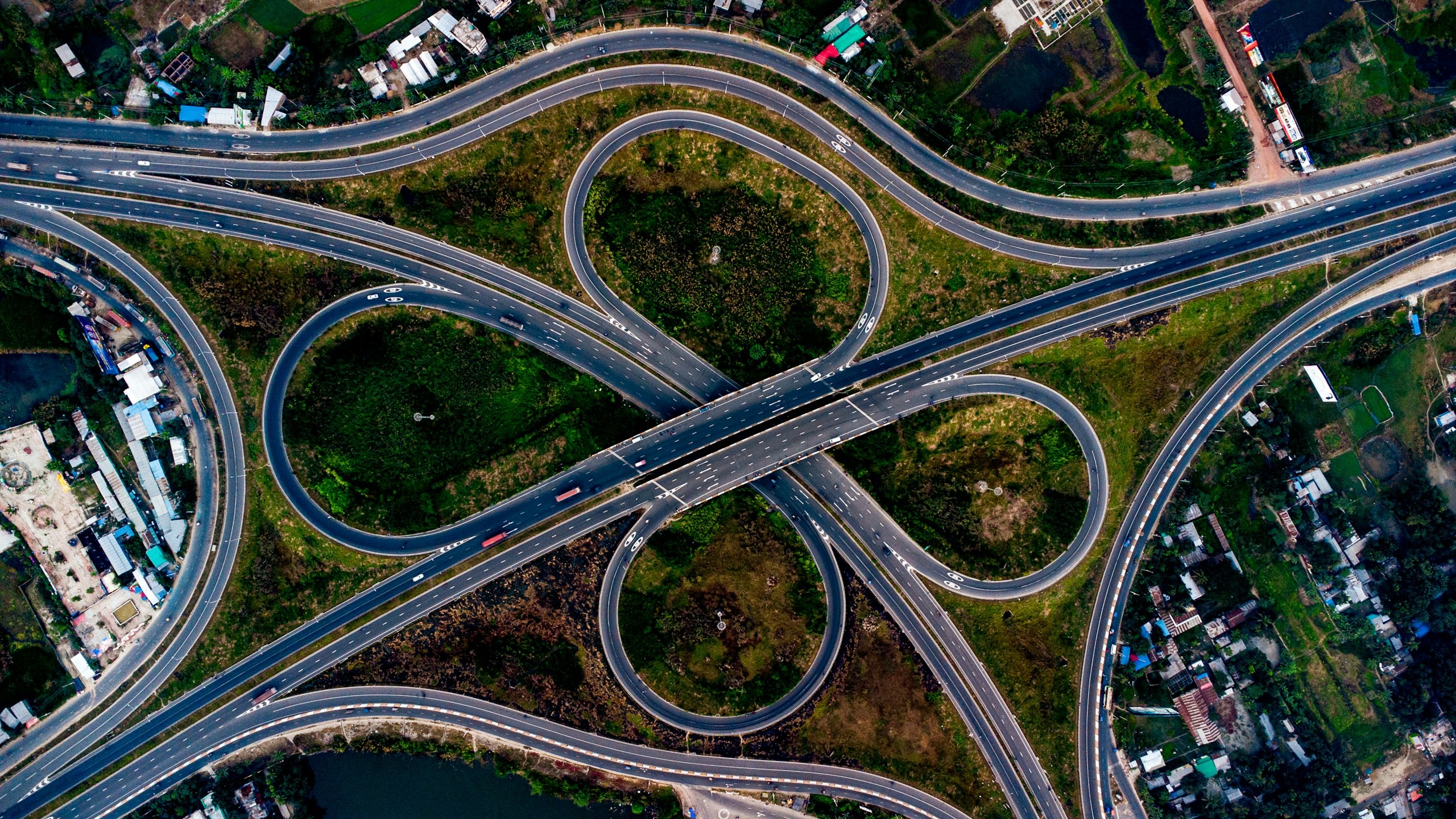
Ten capabilities along four layers.
Capture the ground, process what comes back, turn it into a model you can interrogate, and integrate the result into the systems your teams already run.
Ten solutions across four layers, and how they stack
The layers describe how far a project runs: capture gets data off the ground, visualize makes it legible, analyze turns it into something measurable, integrate puts it where the work happens. Most programmes need more than one, and the common failure is scoping only the first.
A capture without an integration path produces a file. An integration without a capture inherits whatever the last survey left behind. If you are unsure where to start, the honest answer is usually the layer where your current data is weakest, not the one that sounds most advanced.
Solutions by layer
Each is scoped and priced on its own. Most programmes need two or three, and commissioned together they share one mobilisation, one control network and one set of approvals, which is where the difference against separate procurements actually sits.
Capture
Getting survey-grade data off the ground, from the air and from orbit.
Aerial & UAV Survey
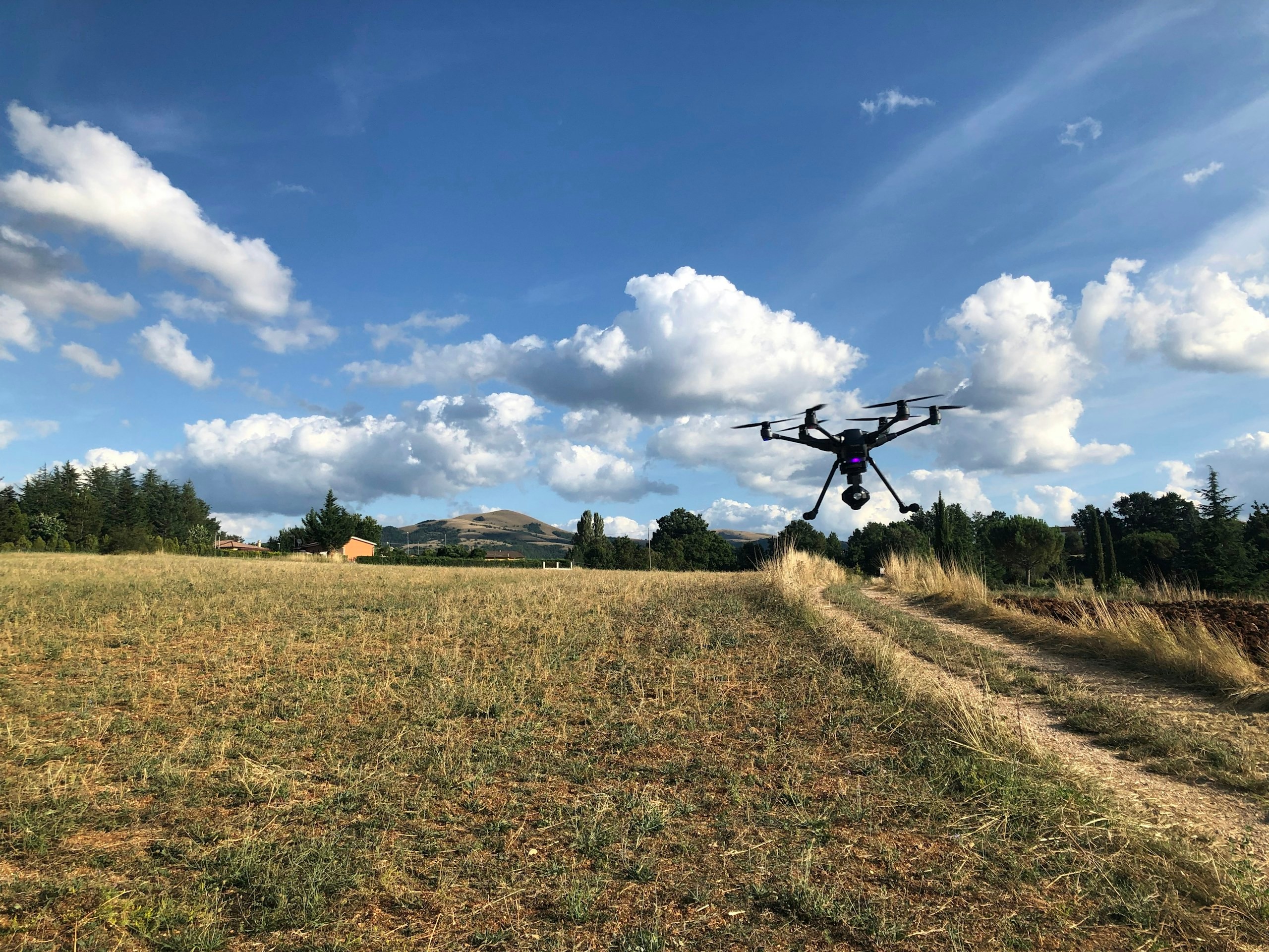
Capture the real world with precision. Turn every flight into intelligence. Survey-grade aerial data captured with the right platform, sensor and mission strategy—creating reliable spatial information for mapping, measurement, engineering and informed decision-making.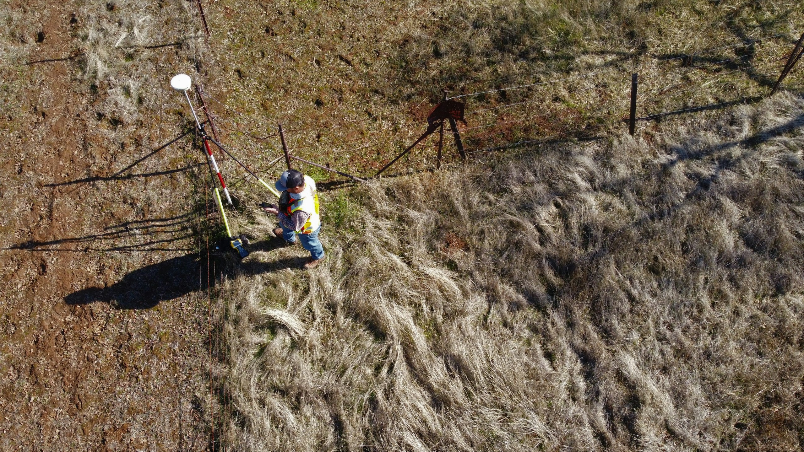
Remote Sensing & Photogrammetry
See beyond the image. Measure what the landscape is telling you. Transform LiDAR, multispectral, hyperspectral, satellite and aerial imagery into accurate spatial intelligence—revealing terrain, land cover, vegetation, surface conditions and change that can be measured, analysed and acted upon.
Visualize
Making the asset legible as a model you can interrogate, not just a map.
Statutory Reports & GIS Consulting
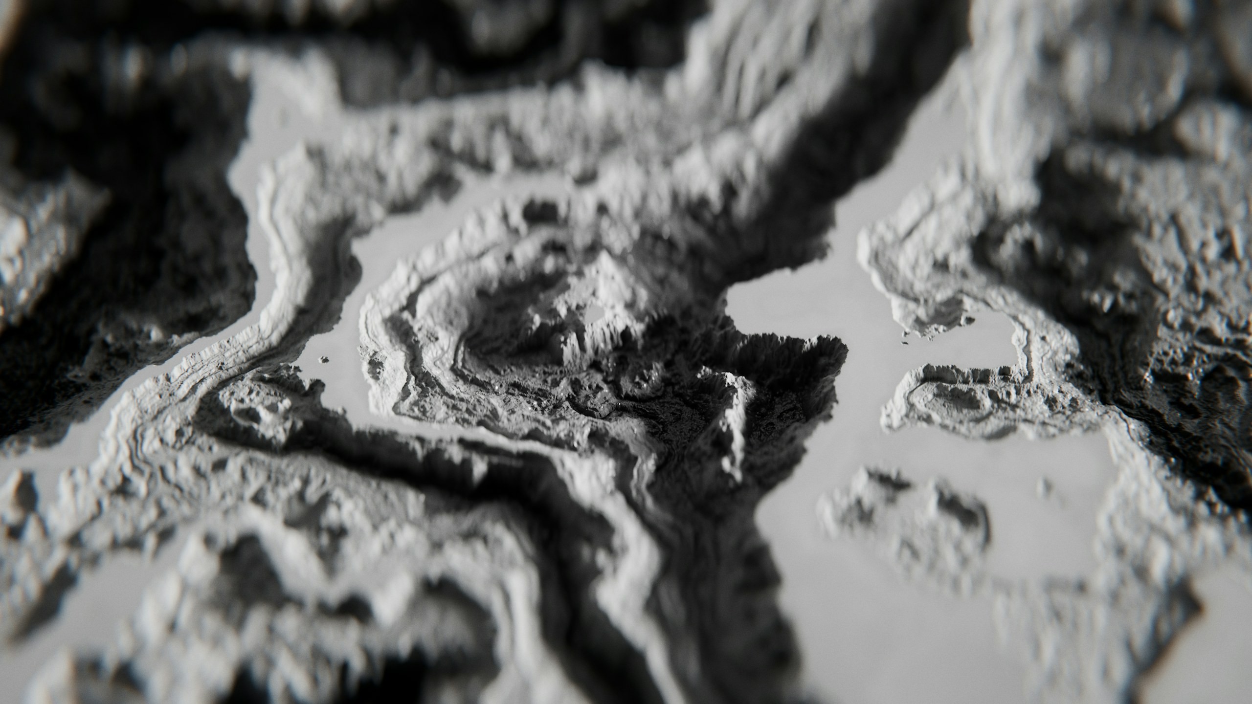
Turn fragmented data into trusted evidence. End-to-end GIS consulting and statutory reporting that brings spatial, sensory, material and population data together—creating a reliable evidence base for compliance, planning, governance and informed decision-making.
Digital Twin Solutions
Turn the real world into a living digital intelligence. Create connected digital representations of assets, infrastructure and environments that can be explored, maintained, analysed and used to support better decisions throughout their lifecycle.
Analyze
Applying GIS, analytics and domain intelligence to identify patterns, assess conditions and monitor change.

Data & Locational Analytics
Turn data into insight. Turn location into intelligence. Transform operational, spatial and historical data into clear intelligence that reveals what is happening, where it is happening, and what deserves attention next.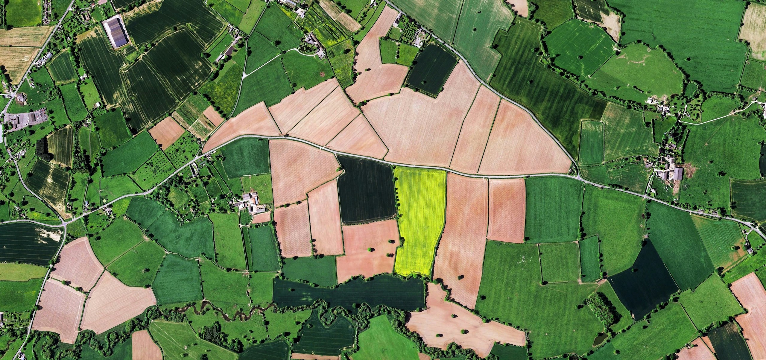
WebGIS Analytics Dashboards
From scattered data to one view of what matters. Bring maps, operational data, assets, networks and analytics together in an intelligent WebGIS environment that helps teams understand what is happening, where it is happening and what action should follow.
Integrate
Putting the result into the systems and field operations you already run.
Asset Tracking & IoT
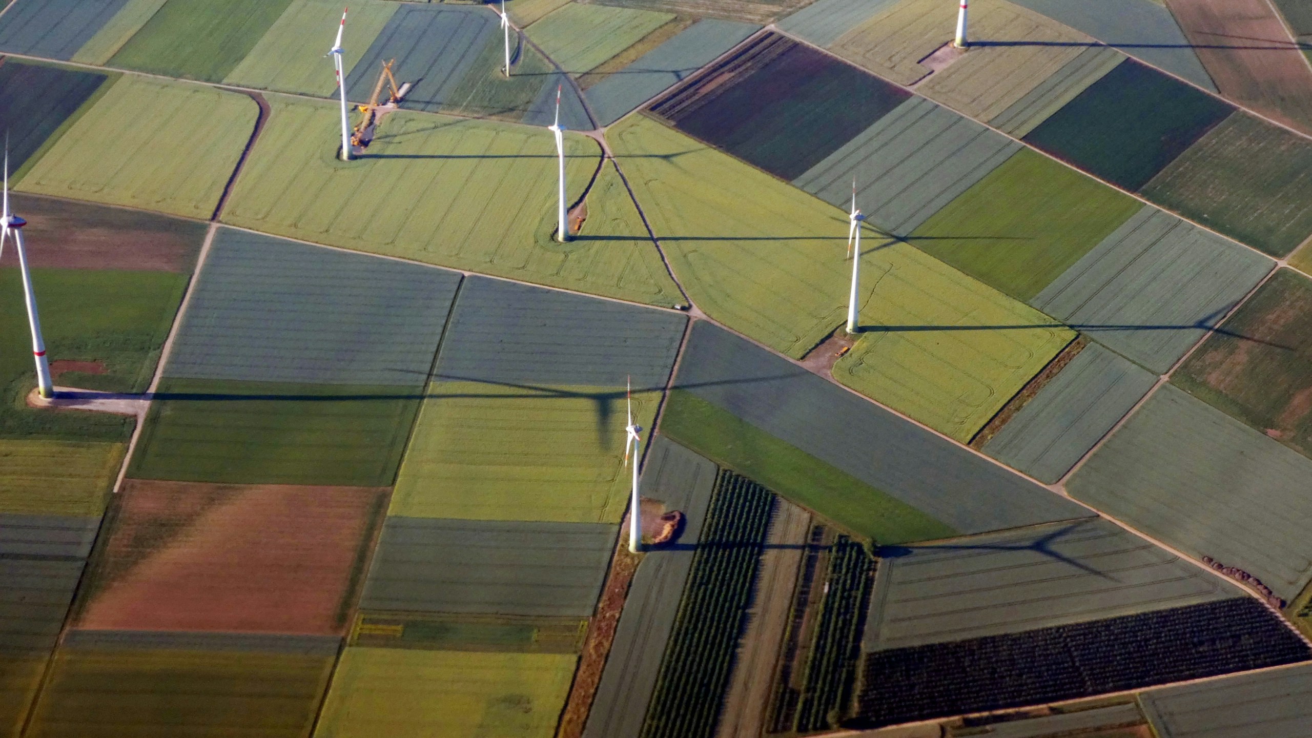
Connect every asset. See every change. Act before it becomes a problem. Intelligent IoT infrastructure that brings field assets, sensors, connectivity and operational data together—creating continuous visibility from the physical asset to the decision-making environment.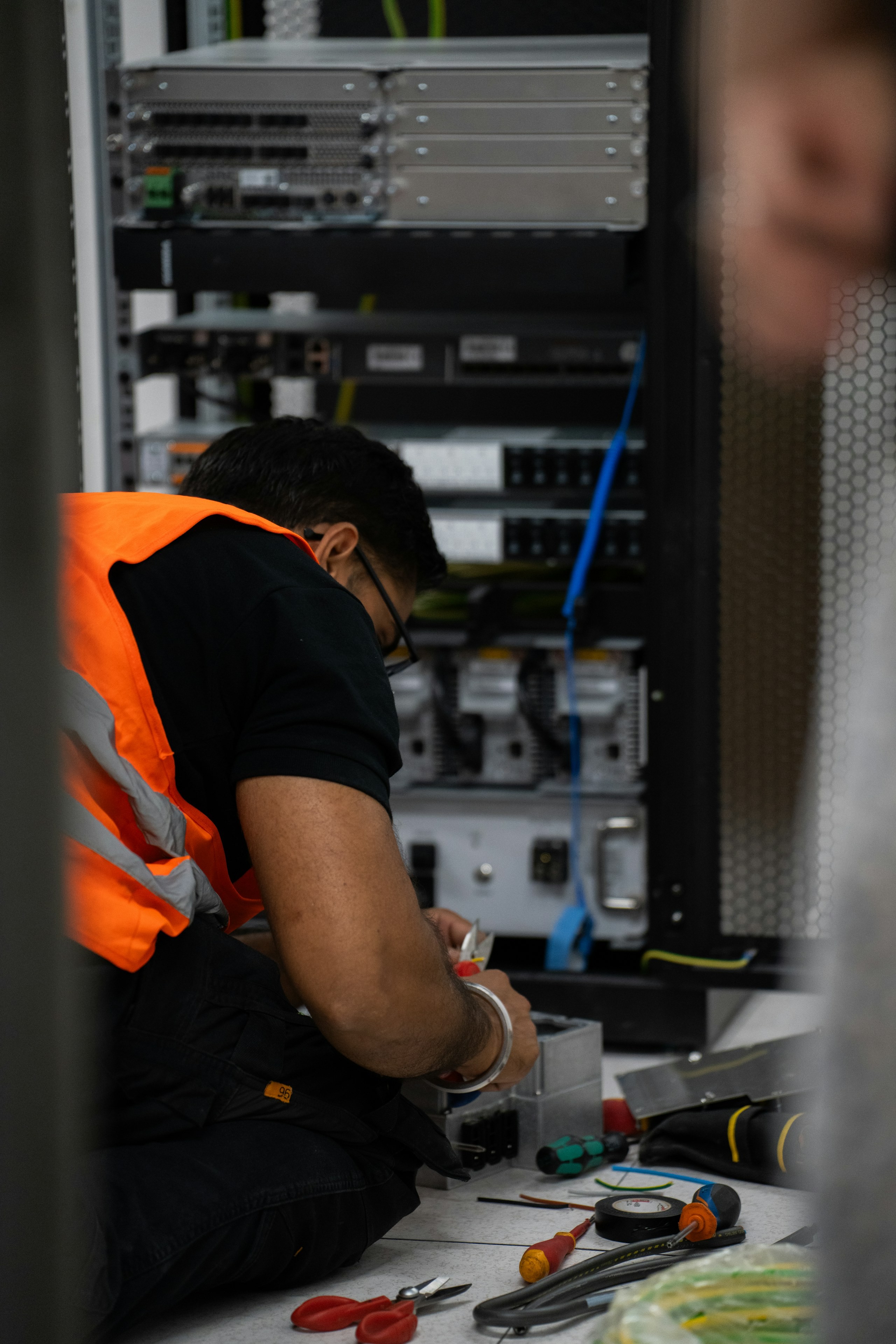
System Integration
Connect the data. Connect the systems. Complete the workflow. Bring spatial data, enterprise applications, field devices and systems of record together through purposeful integration—so information moves beyond files and becomes part of the work.
Enterprise Implementation
Deploy with purpose. Build capability. Make the system last. From rollout and migration to training, managed services and operational handover, we turn enterprise platforms into sustainable systems that organisations can confidently run, manage and evolve.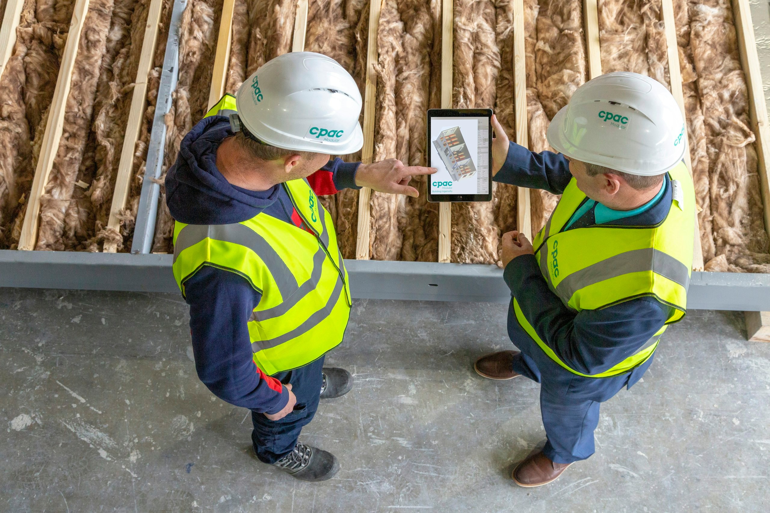
Engineering Consulting
Engineer with evidence. Decide with confidence. Feasibility studies, engineering analysis and project preparation built on defensible spatial evidence—giving decision-makers the clarity to assess what can be built, where it can be built and what it will take to deliver.
Our own software
Two platforms we build and run.
TASK
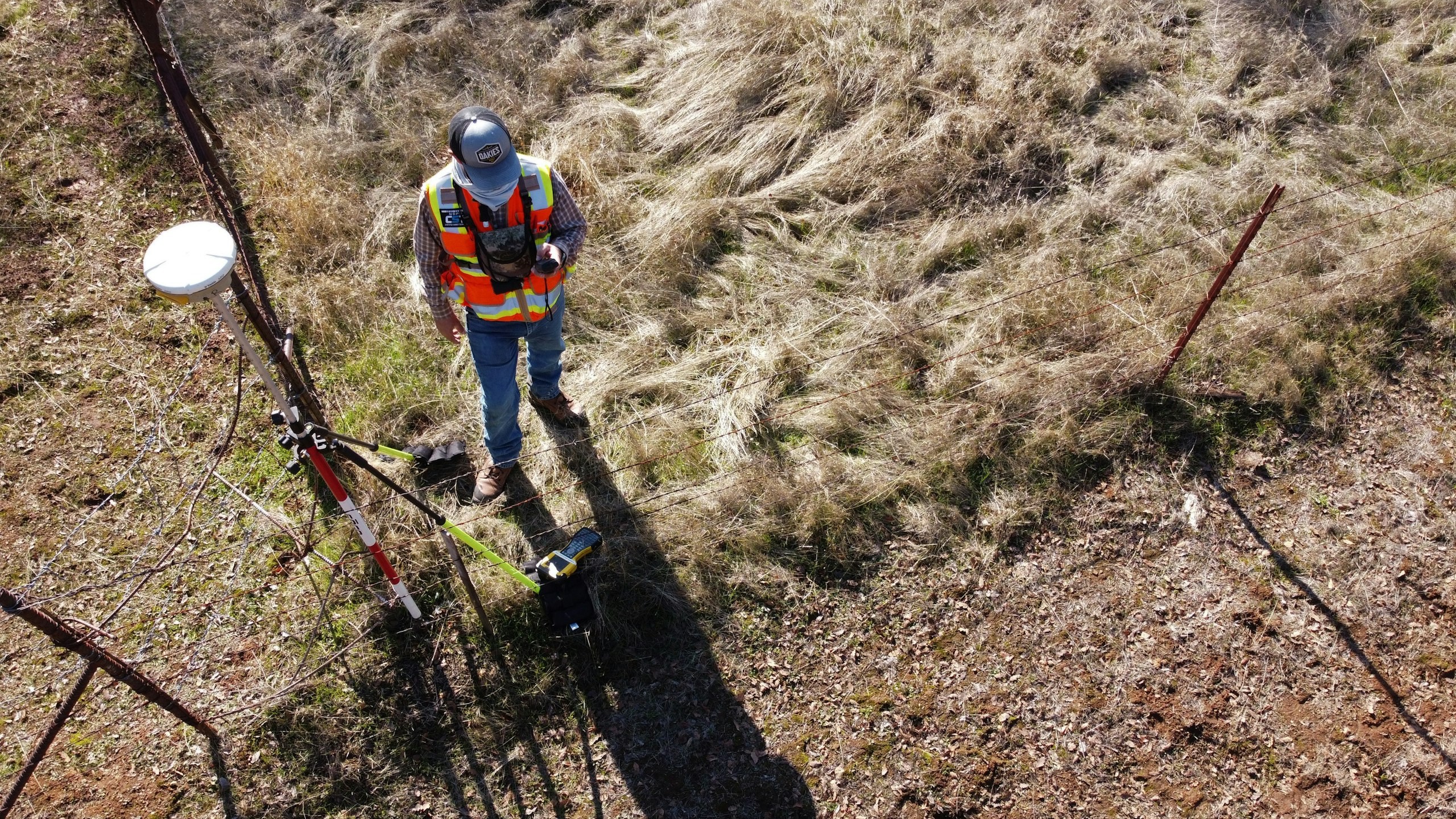
Trentar Aerial Solution Kit: aerial data to actionable insight. A unified platform for planning, capturing, processing and analysing aerial data across critical infrastructure and asset-monitoring use cases.
See the platform
Sx Applications
A powerful IoT application platform that brings connected devices, real-time data, analytics, visualization and operations together in one intelligent ecosystem.
See the platform
Let’s solve the spatial challenge
Tell us what you’re trying to build, map, monitor or manage. From large-scale surveys and geospatial intelligence to digital twins, asset monitoring and enterprise integration, our team can help define the right data, technology and delivery approach for your requirement.
- EnquiriesPanovis@trentar.com
- Registered officeMumbai, India