


From capture to decision, in one system.
Panovis brings aerial and satellite capture, remote sensing, analytics, digital twins and enterprise integration under one roof. Built on a decade of combined experience across aerial data, geospatial intelligence, GIS, IoT and enterprise systems.
Trusted by













Who we are. Panovis is the geospatial arm of the Trentar Group. It is built on the combined geospatial capabilities of GarudaUAV, founded in 2017, and Stesalit Systems, founded in 2015. We take geospatial data beyond the survey: through analysis, visualization and integration into the systems that run your operations. One partner, from the sensor to the system of record.
How we work
Four layers. One spatial system.
Capture. Visualize. Analyze. Integrate. Every layer builds on the one before it.
Layer 1
Capture
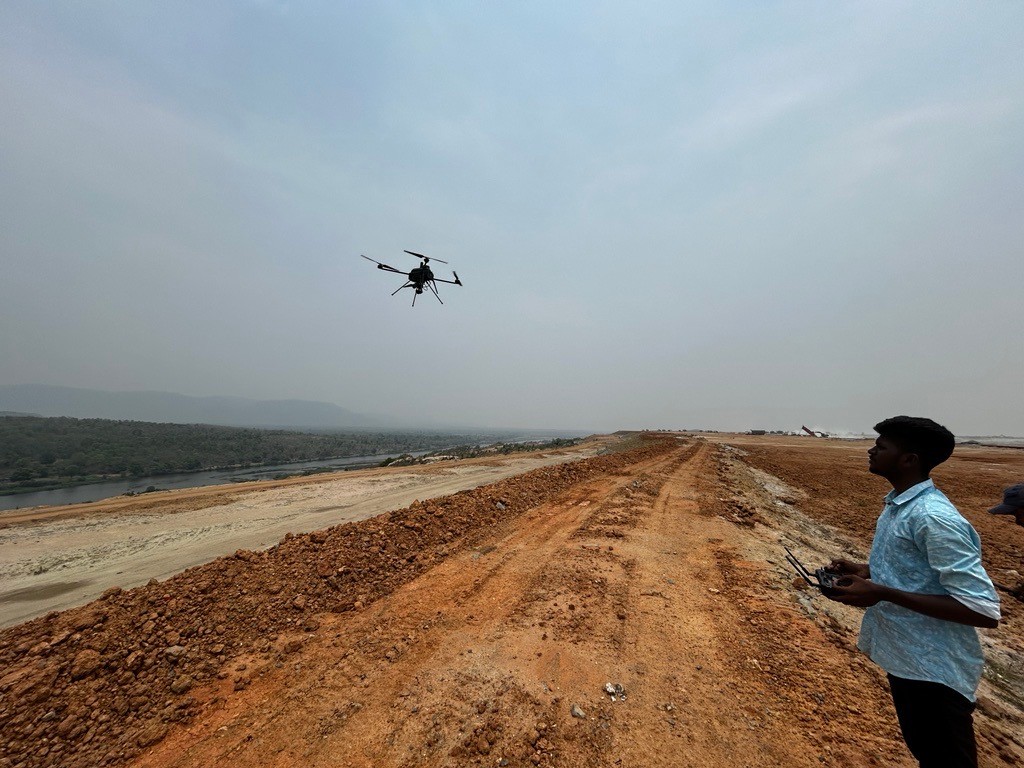
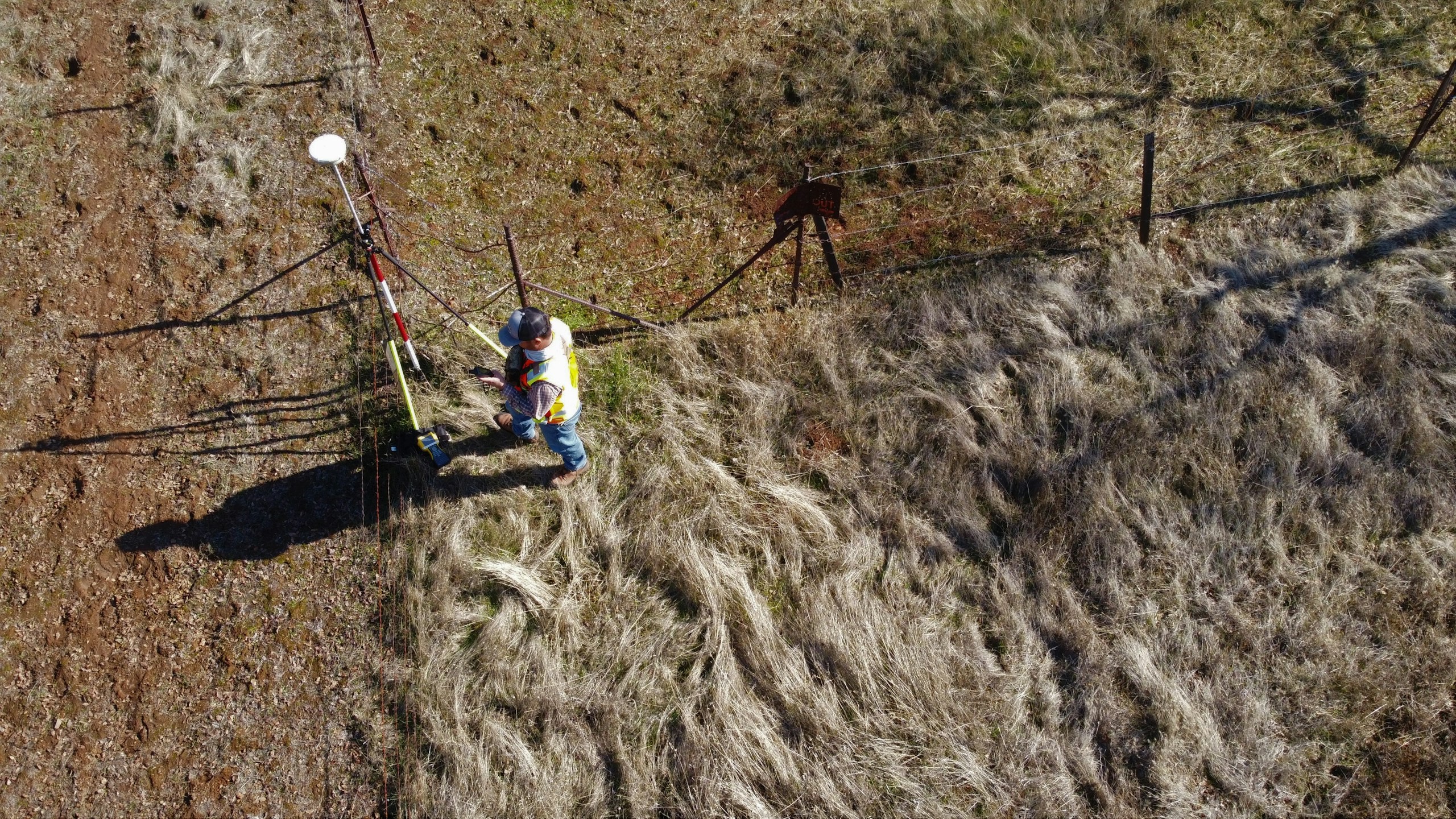
Getting survey-grade data off the ground, from the air and from orbit.
- Aerial
- UAV
- LiDAR
- Remote Sensing
- Photogrammetry
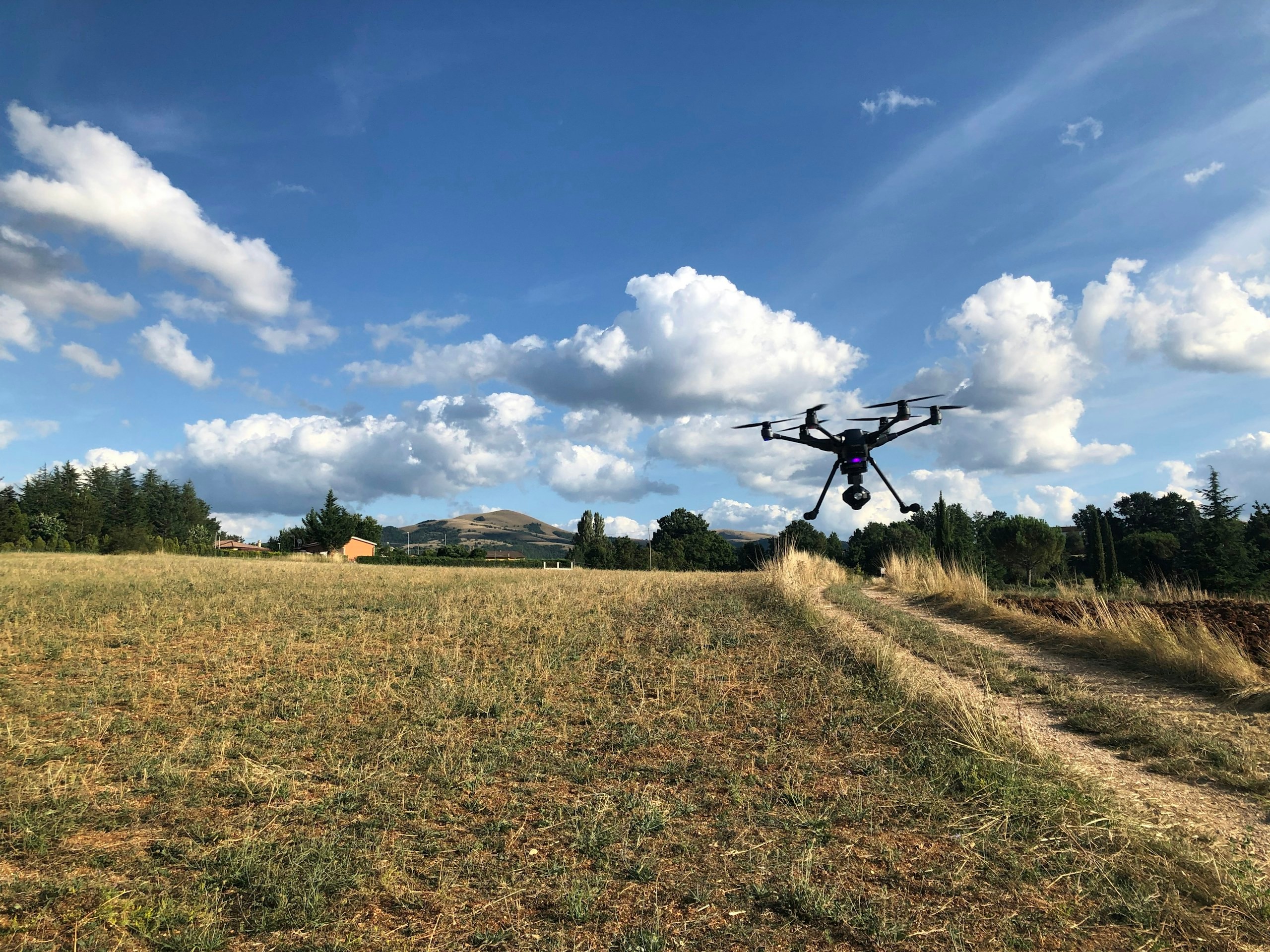
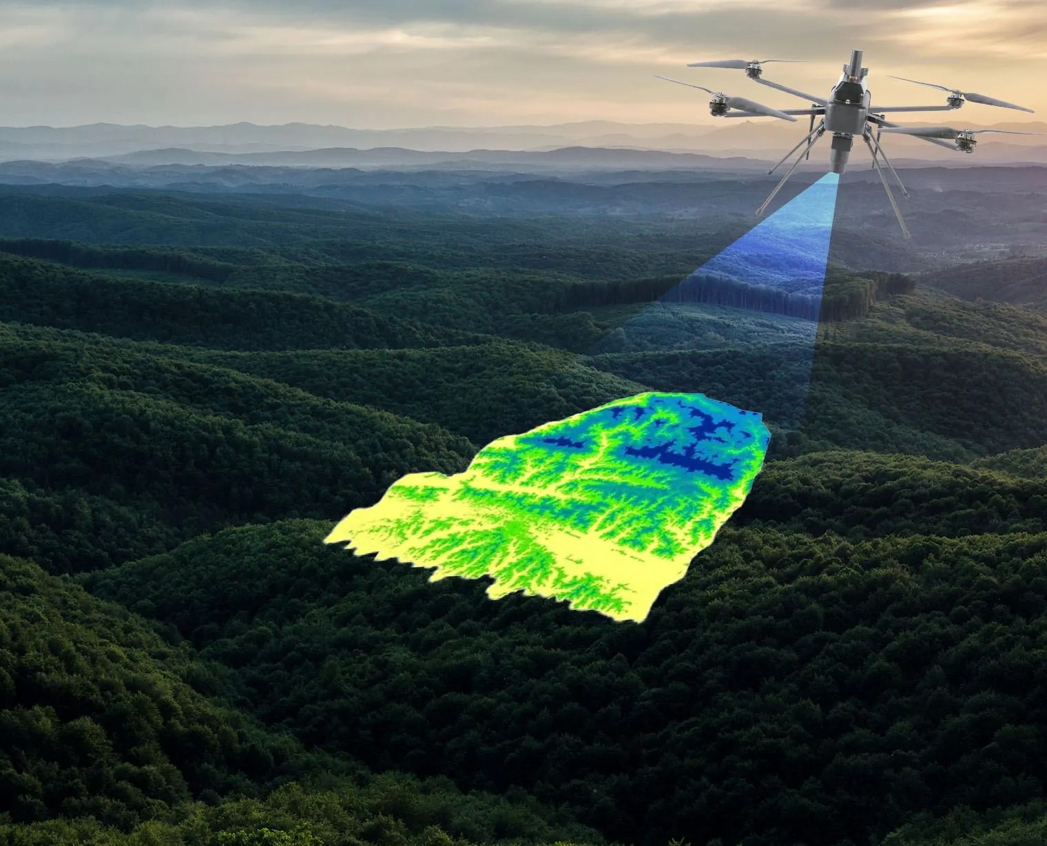
A surface model over forested terrain: the capture layer, before anything is decided from it.
Where we work
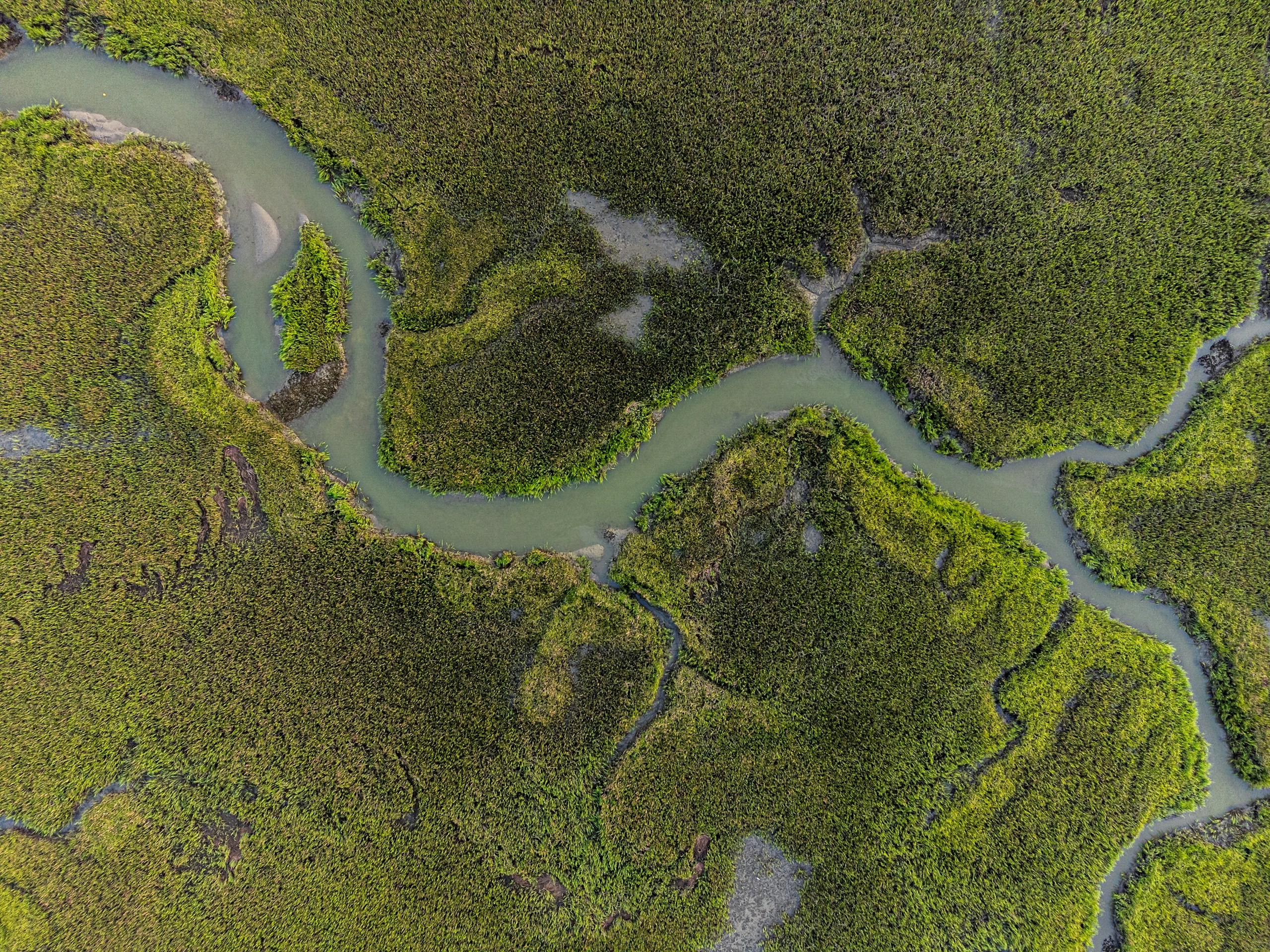
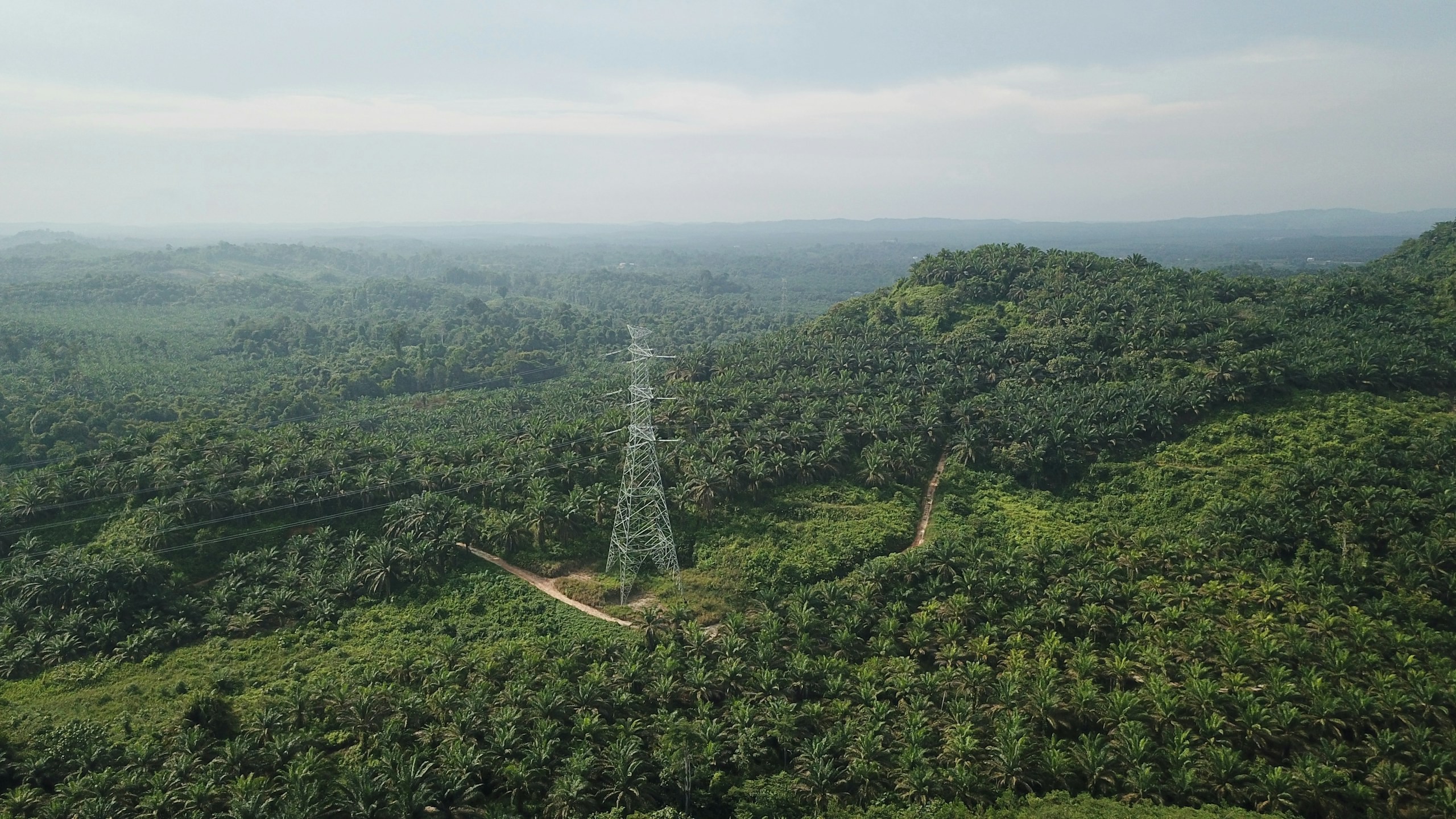
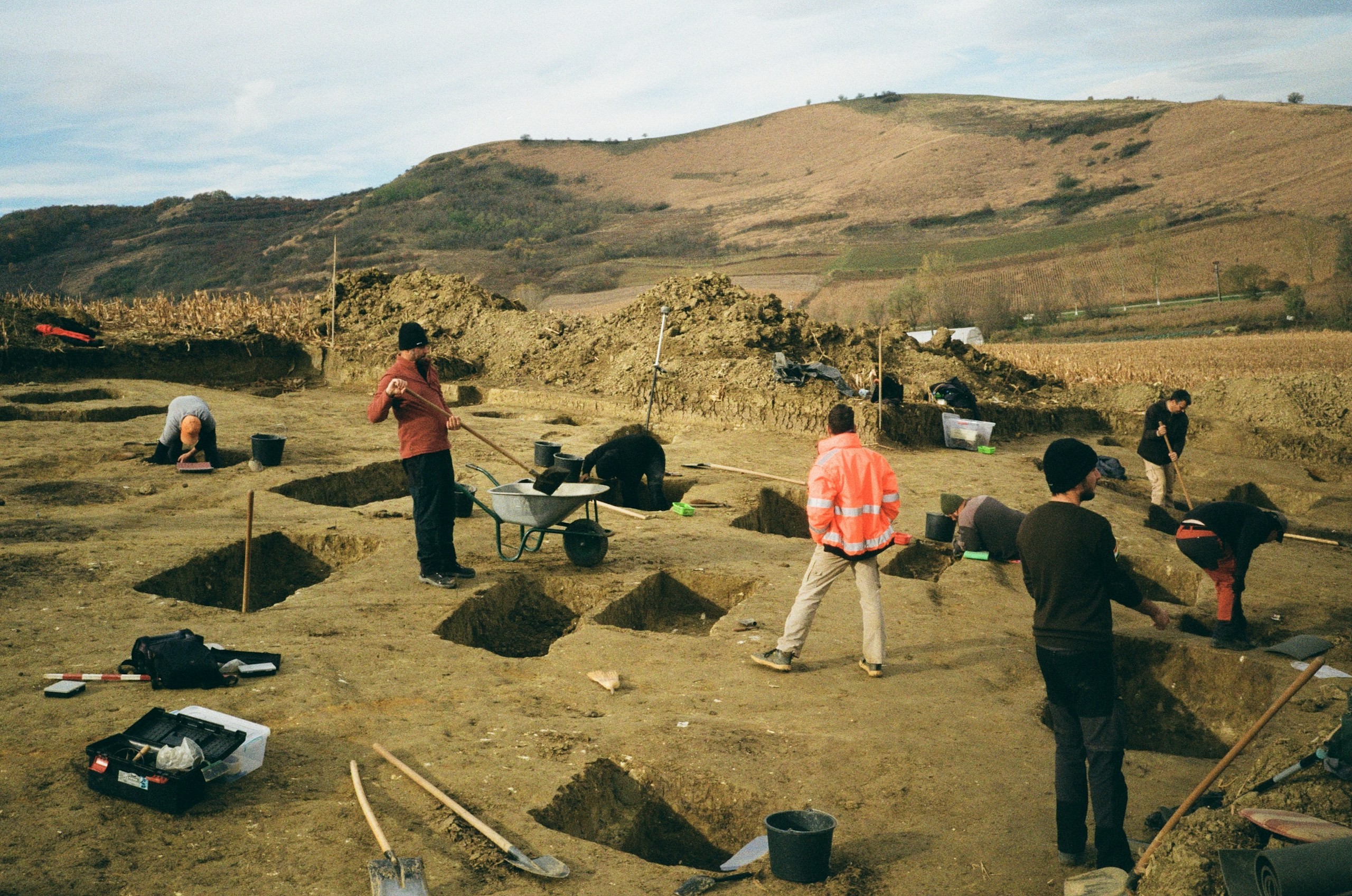
Seven sectors, each with its own rules.
A solution only becomes actionable once the sector is clear. Locational analytics means something different to a water utility than to a grid operator.




Delivery record
Engineered through experience.
Proven geospatial intelligence delivered at scale across infrastructure, utilities, transport, water, energy, environment and urban development.
400+
Projects Delivered
400+
Specialists & Experts
5
Global Locations
160,000+ckm
Power Grid Intelligence & Asset Inspection
170,000+km
Highway & Transportation Digital Infrastructure
100,000+sq km
Urban Geospatial Intelligence & Digital Mapping
400,000+ha
Water Resources & Irrigation Intelligence
20,000+sq km
Aerial & Remote Sensing Intelligence
Why us
Why Panovis
Built to outpace traditional GIS and surveying providers.
End-to-end capability
We own the full workflow, from capture to intelligence.
Integrated ecosystem
Two integrated practices under one delivery engine.
Proprietary platforms
Owned technology: TASK and Sx Applications.
Geospatial, IoT and AI
A rare convergence of three technologies in one stack.
Strong domain expertise
Deep specialists across geospatial, engineering and IoT.
Implementation-focused
We deliver deployed outcomes, not just reports.
Proven at national scale, present internationally
Projects spanning hundreds of thousands of kilometres, with offices across India, South East Asia and North America.
Extensive sector experience
Track record across utilities, cities, transport and more.
The group
Backed by the Trentar Group.
Panovis is the geospatial technology company of the Trentar Group, bringing together aerial intelligence, geospatial data, GIS, IoT and enterprise technology under one integrated platform.
We take geospatial data beyond capture: through visualization, analysis and integration, turning complex spatial information into actionable intelligence for planning, operations and asset management.

Offices
Where we are.

Panovis Mumbai
2, Dorf Ketal Tower, Ramchandra Ln Malad, Navy Colony, Kanchpada Malad West, Mumbai Maharashtra 400064 Mumbai, India
Registered office and primary delivery hub.
Panovis@trentar.com
Panovis Kolkata
8th Floor, UrbanWrk, Technopolis Building Sector-V, Salt Lake City Kolkata, West Bengal 700091 Kolkata, India
Engineering and GIS services, from the Stesalit Systems practice.
Panovis@trentar.com
Panovis Noida
3rd Floor, Tower 2, Assotech Business Cresterra Unit No. 301 to 318, Plot 22, Sector 135 Noida, Uttar Pradesh 201304 Noida, India
Delivery office in the National Capital Region.

Panovis United States
11490 Westheimer Road, Suite 300 Houston, Texas 77077 Houston, United States
Client and partner presence for programmes in North America, working to the same accuracy standards and deliverable formats as the Indian offices.

Panovis Singapore
3A International Business Park #09-17/18, ICON@IBP Singapore 609935 Singapore, Singapore
Client and partner presence across South East Asia, the base for regional programmes and for coordination with funding bodies in the region.
Let’s solve the spatial challenge
Tell us what you’re trying to build, map, monitor or manage. From large-scale surveys and geospatial intelligence to digital twins, asset monitoring and enterprise integration, our team can help define the right data, technology and delivery approach for your requirement.
- EnquiriesPanovis@trentar.com
- Registered officeMumbai, India