

System Integration
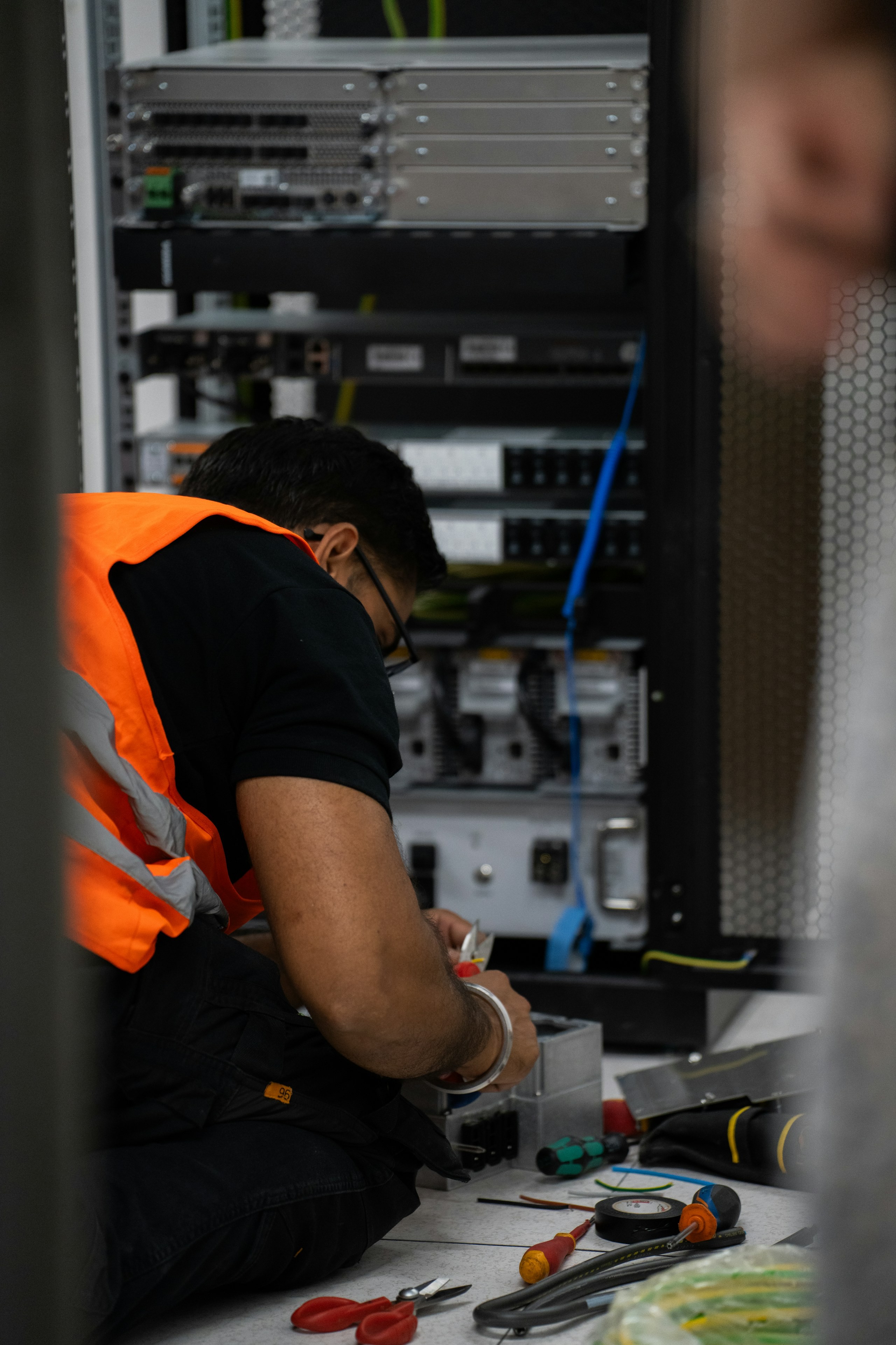
Connect the data. Connect the systems. Complete the workflow. Bring spatial data, enterprise applications, field devices and systems of record together through purposeful integration—so information moves beyond files and becomes part of the work.
The Panovis advantage
The data is useful where the work happens, not where it was captured.
A survey can be technically perfect and still deliver limited value if its output stops at a file share. The real value begins when spatial information reaches the ERP, EAM, maintenance, planning, control or operational system where people act on it. We treat integration as part of the deliverable—not something added after capture—so every dataset is structured with its destination, identifier, coordinate system and business context already in mind.

The Panovis Logic
The interface is part of the survey specification.
The receiving system often dictates more than the survey itself. Identifiers determine how assets are keyed; coordinate systems determine transformation; attribute models determine what can be carried forward; and reconciliation determines whether surveyed objects can be matched to existing records. We define these interfaces early, then design the capture, transformation and integration workflow around them—reducing rework and ensuring that spatial intelligence arrives ready for the system of record.

What we cover
Where the data has to land—and what it takes to get it right
Interface Design
Define the data contract between systems before implementation, establishing what moves, how it is structured and where it belongs.
Enterprise Systems
Connect GIS with ERP, EAM, maintenance, planning and other enterprise platforms through consistent identifiers and structured information flows.
Sensor & Device Data
Bring field feeds into a common spatial framework, linking device observations to the assets and locations they represent.
APIs & Services
Expose documented, reusable services and endpoints so systems can exchange information reliably without creating unnecessary dependencies.
Standards & Interoperability
Apply open standards and interoperable services where appropriate, helping spatial information move across platforms rather than becoming locked into one environment.
Reconciliation
Match surveyed assets and spatial objects with existing records while preserving unmatched items for controlled review and resolution.

What we have connected.
400+
Projects Delivered
400+
Specialists & Experts
5
Global Locations
160,000+ckm
Power Grid Intelligence & Asset Inspection
11,000+
Connected IoT Assets Deployed
Where it applies
Whose systems we connect
Utility & Energy
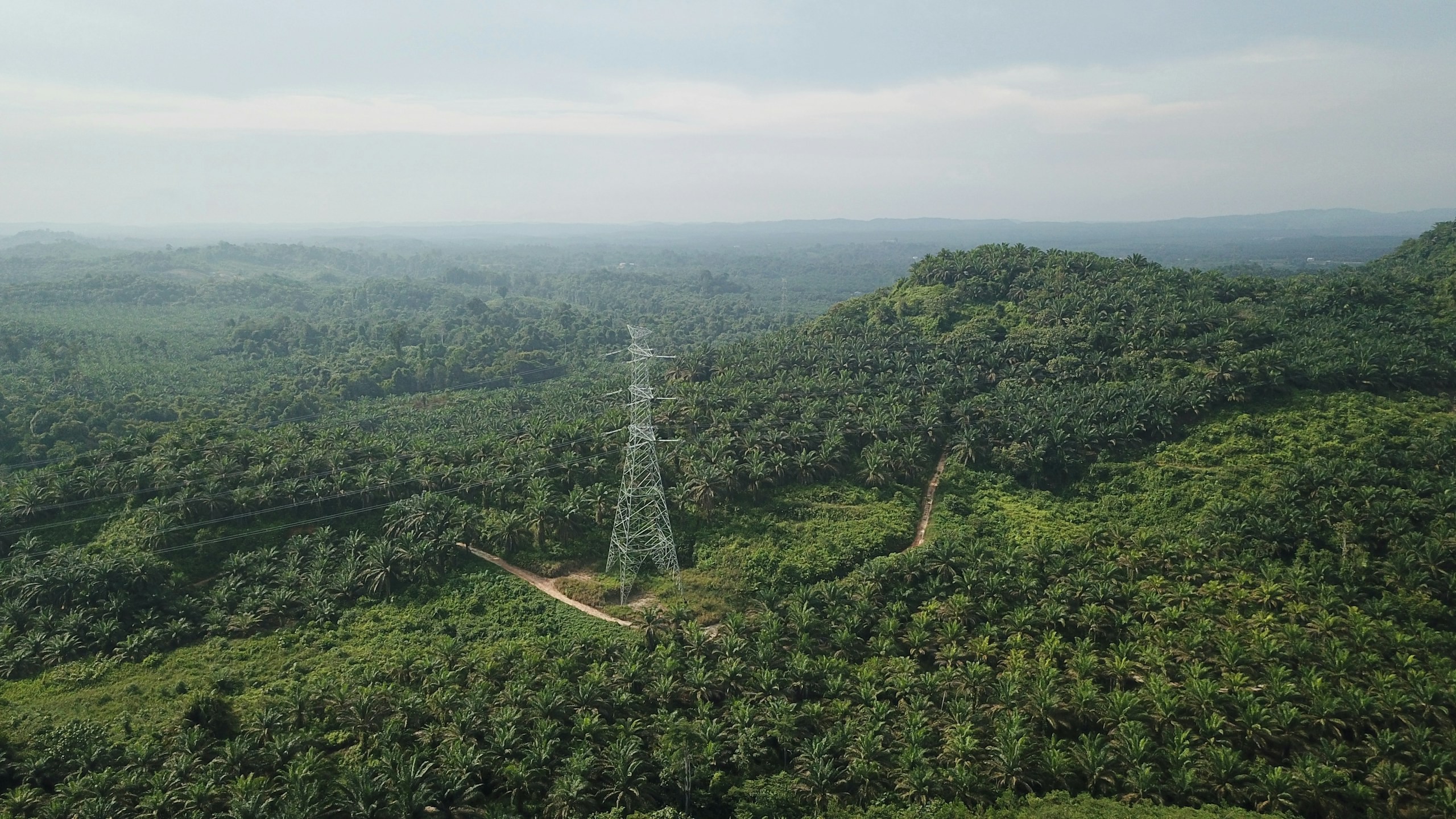
Distributed utility networks require precise asset visibility, network intelligence and timely operational insight. Our connected utility intelligence integrates Utility GIS, network mapping, IoT, Field GIS, asset tracking, network analytics, EAM, WebGIS and operational dashboards to connect field operations with enterprise decision-making.
Explore sector
Urban Development & Land Governance
Urban authorities need connected spatial, property and infrastructure data for effective planning and governance. Our solutions combine UAV mapping, cadastral GIS, 3D city models, WebGIS and spatial analytics for informed decision-making.
Explore sector
Infrastructure
Infrastructure projects generate complex spatial, engineering, asset and field data across their lifecycle. Our integrated geospatial intelligence combines UAV surveys, GIS/WebGIS, LiDAR, photogrammetry, asset mapping, digital twins and spatial analytics to enable informed planning, monitoring and lifecycle management.
Explore sector
Let’s solve the spatial challenge
Tell us what you’re trying to build, map, monitor or manage. From large-scale surveys and geospatial intelligence to digital twins, asset monitoring and enterprise integration, our team can help define the right data, technology and delivery approach for your requirement.
- EnquiriesPanovis@trentar.com
- Registered officeMumbai, India