


Urban Development & Land Governance
Urban authorities need connected spatial, property and infrastructure data for effective planning and governance. Our solutions combine UAV mapping, cadastral GIS, 3D city models, WebGIS and spatial analytics for informed decision-making.
The problem
The city changes faster than its records
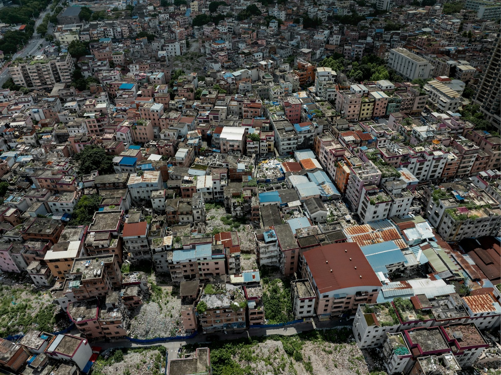
Urban records rarely stay aligned with the city they describe. Buildings are constructed or altered, parcels are subdivided, roads and infrastructure change, and land uses evolve — while cadastral, planning, property and municipal databases may continue to reflect an earlier point in time. When different departments maintain separate datasets, inconsistencies become harder to identify, reconcile and act upon.
The challenge is not simply creating a new map. It is establishing what has changed, reconciling it with existing records, and giving planning and municipal teams a reliable basis for updating the systems they already depend on.

In detail
When the records stop matching the city
Urban datasets rarely change at the same rate. Aerial imagery may show a new building, while the cadastral layer still carries the old parcel geometry and the property database retains an earlier built-up area. Different map scales, coordinate references and update dates can add further discrepancies between datasets.
These differences become costly when planning boundaries, parcel extents, building footprints and property records are overlaid as though they were current and aligned. A few metres of positional difference can shift a building into the wrong parcel, distort an area calculation or create conflicting records between departments.
The panovis advantage
What a city administration actually asks for
Base mapping
Current orthoimagery and vector base for the whole area, on the coordinate system the city already uses.
Cadastral & Property Mapping
Parcel boundaries, building footprints and observed changes reconciled against existing cadastral and property datasets.
3D City Modelling
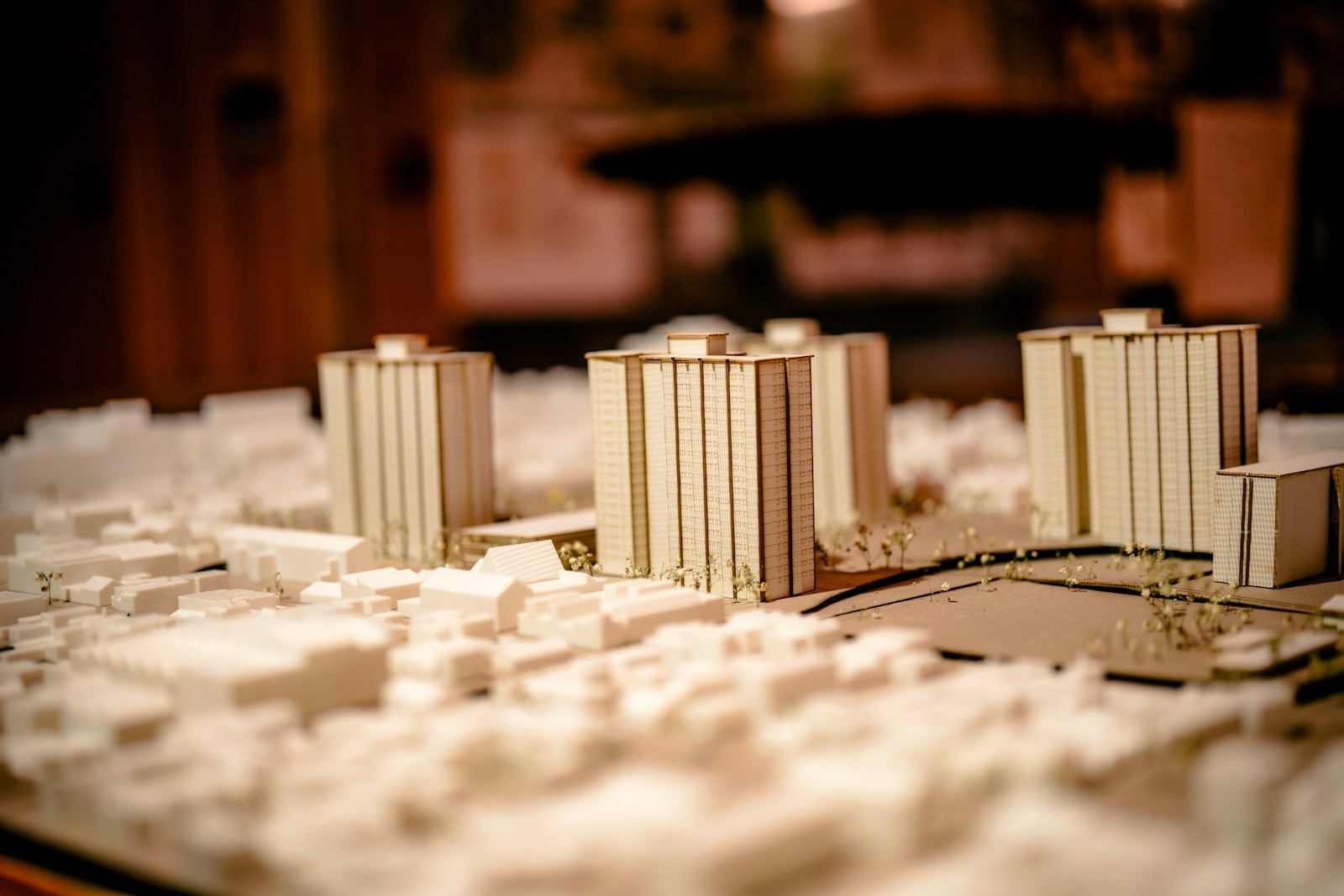
Georeferenced building and terrain models supporting development assessment, solar potential, shadow analysis and urban planning.
Development & Land-Use Change
Time-series imagery analysed to identify new construction, land-use transitions and development outside approved plans.
Utility & Service Mapping
Georeferenced network and asset layers integrated with the urban base map for infrastructure planning and service expansion.
Mobility & Access Mapping
Road centrelines, junctions, access points and network attributes structured for transport planning and connectivity analysis.
Urban and land work, in numbers
400+
Projects Delivered
400+
Specialists & Experts
5
Global Locations
100,000+sq km
Urban Geospatial Intelligence & Digital Mapping
20,000+sq km
Aerial & Remote Sensing Intelligence
What we bring
Solutions we bring to urban development
Mapping, data infrastructure and the operating model behind it.
Layer 1
Capture
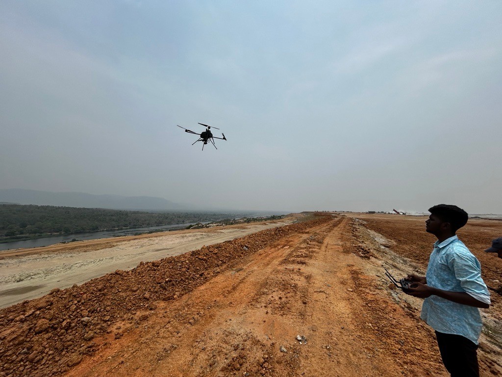
Getting survey-grade data off the ground, from the air and from orbit.
- Aerial
- UAV
- LiDAR
- Remote Sensing
- Photogrammetry
Applications
Applications in urban development
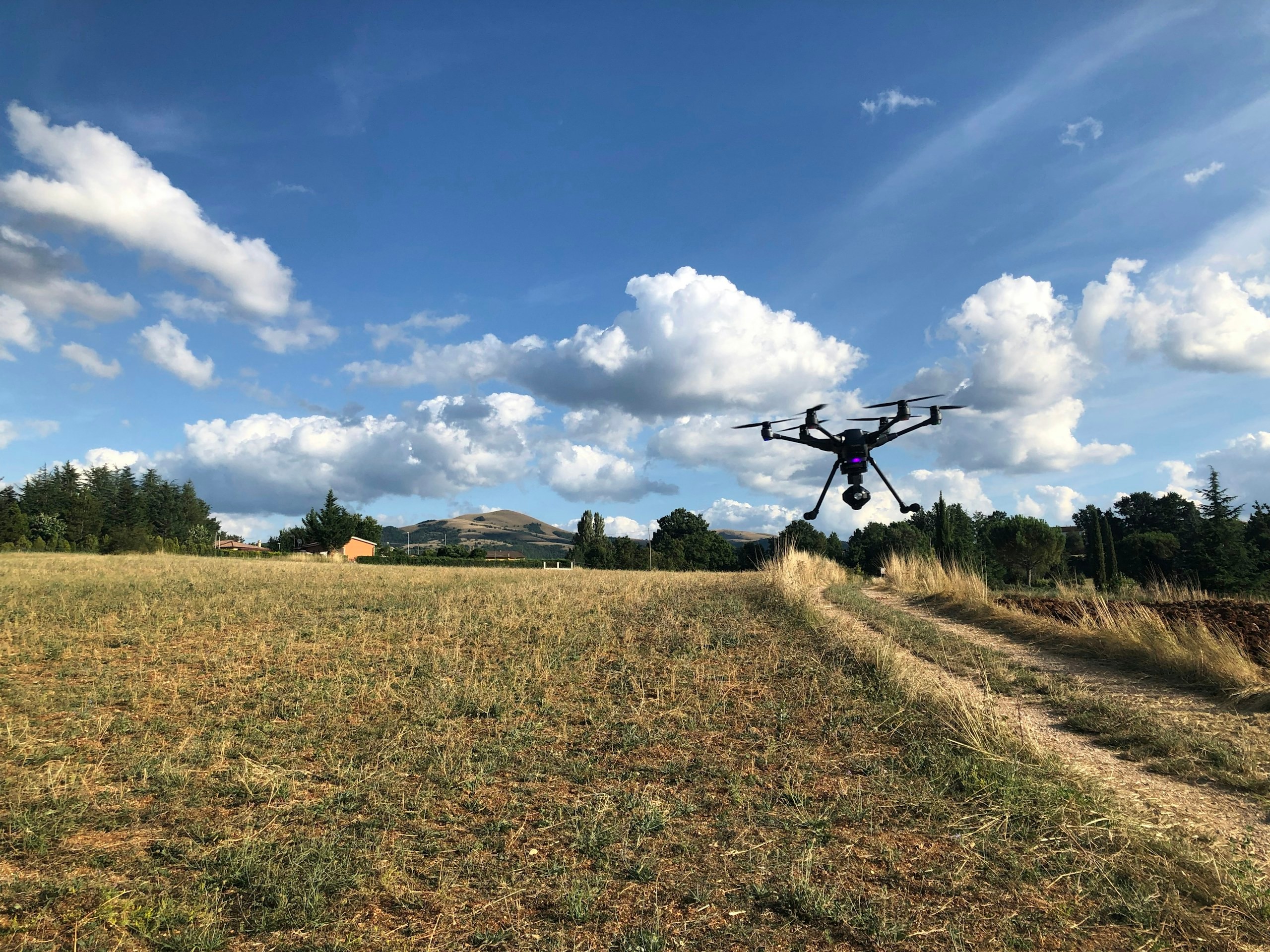
City fabric from the air, from satellite analytics, and from inside the building. The detail pages sit on the GarudaUAV and Stesalit Systems sites.
GarudaUAVgarudauav.com
Stesalit Systemsstesalitsystems.com
Let’s solve the spatial challenge
Tell us what you’re trying to build, map, monitor or manage. From large-scale surveys and geospatial intelligence to digital twins, asset monitoring and enterprise integration, our team can help define the right data, technology and delivery approach for your requirement.
- EnquiriesPanovis@trentar.com
- Registered officeMumbai, India