

Archaeology & Heritage
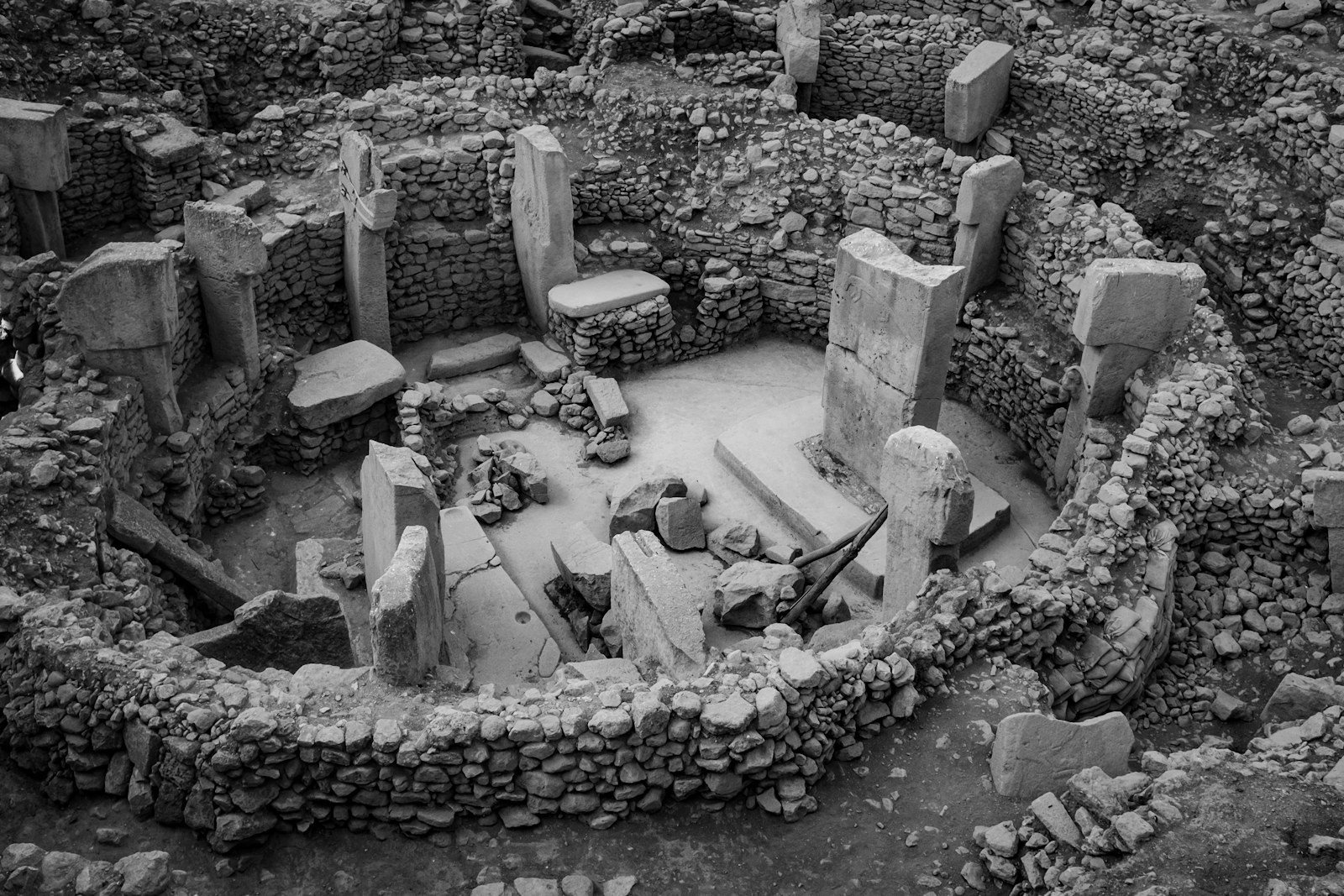
Archaeological and heritage assets require precise documentation, digital preservation and condition monitoring with minimal physical intervention. Our digital heritage solutions use UAV photogrammetry, LiDAR, 3D reconstruction, GIS, digital twins and change monitoring to create accurate, durable digital records for conservation and interpretation.
The problem
The record captures the monument. It rarely captures how it changes.
Conventional heritage documentation can provide drawings, photographs and descriptive records, but these are often difficult to use for precise comparison over time. Small changes in geometry, surface condition, settlement or structural deterioration can be difficult to quantify when there is no consistent spatial reference or detailed baseline.
A measured 3D record establishes that baseline. Future surveys can be aligned to it and compared over time, turning changes in the monument from observations into measurable evidence for conservation and restoration decisions.
In detail
Why change is difficult to measure on historic structures
Historic structures rarely change uniformly. Settlement can alter a floor or wall by a few millimetres, cracks can widen gradually, and weathering can alter surfaces without changing the overall form. These changes are difficult to quantify when records from different periods use different scales, reference systems, capture methods or levels of detail.
Complex geometry adds another difficulty. Deep recesses, overhangs, shaded surfaces, interiors and inaccessible areas can leave gaps in documentation, while differences in camera position, lighting or registration can appear as apparent change between surveys.
For a meaningful comparison, the record has to distinguish actual change in the structure from differences introduced by how and when it was documented.
The panovis advantage
What a heritage authority actually asks for
Measured 3D record
Photogrammetric and scanned geometry of the structure, scaled to permanent control on site.
Condition survey
Cracks, displacement and surface loss mapped on the model rather than described in a report.
Site and setting
The monument in its surroundings, including approach, boundary and encroachment on the notified area.
Change over time
Repeat surveys registered to the same control, so movement can be separated from measurement noise.
Excavation recording
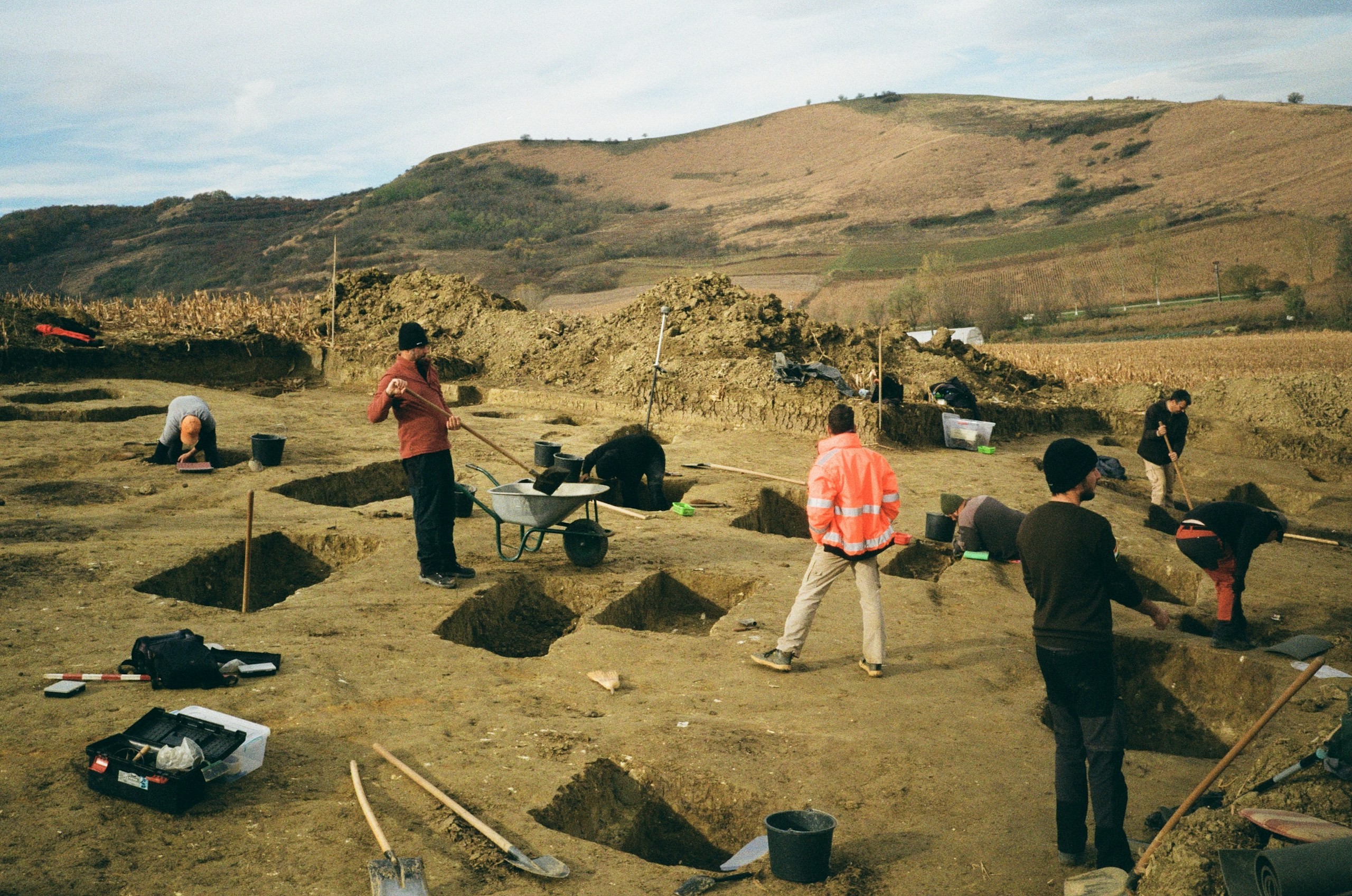
Record trench geometry, archaeological contexts and stratigraphic features by excavation phase, referenced to the site grid.
Archive and handover
Preserve the digital record in documented, reusable formats for long-term archival, future comparison and independent access.
Heritage work, in numbers
400+
Projects Delivered
400+
Specialists & Experts
5
Global Locations
20,000+sq km
Aerial & Remote Sensing Intelligence
200+
Heritage Sites Digitized & 3D Documented
What we bring
Solutions we bring to heritage work
Non-contact capture and the models built from it.
Layer 1
Capture
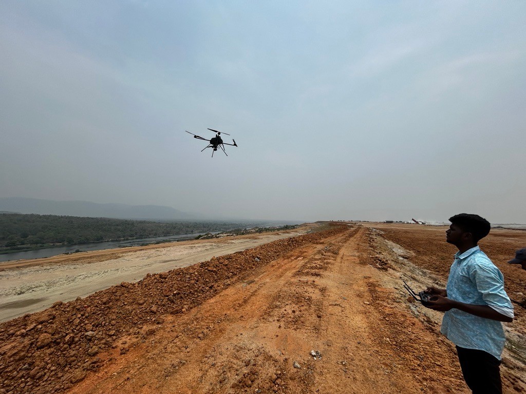
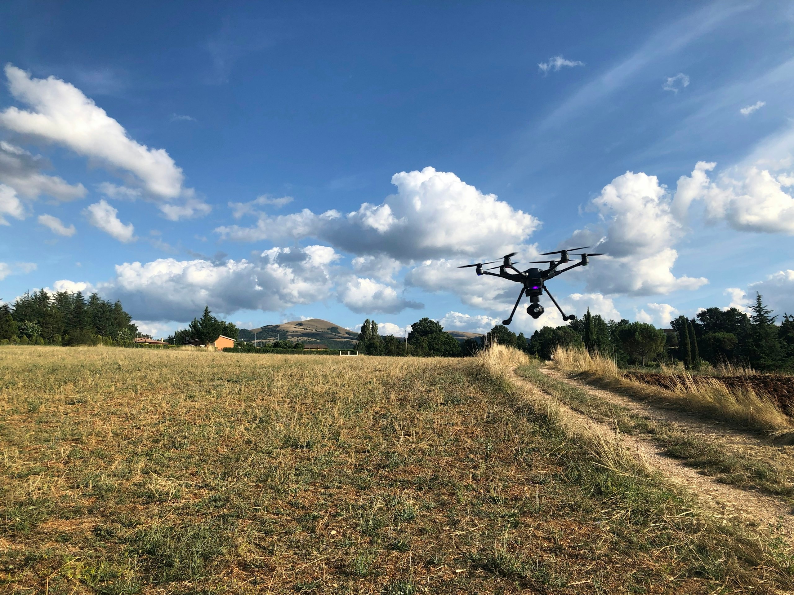
Getting survey-grade data off the ground, from the air and from orbit.
- Aerial
- UAV
- LiDAR
- Remote Sensing
- Photogrammetry
Applications
Applications in heritage documentation
The heritage documentation page on the GarudaUAV site, from the practice that became Panovis.
Let’s solve the spatial challenge
Tell us what you’re trying to build, map, monitor or manage. From large-scale surveys and geospatial intelligence to digital twins, asset monitoring and enterprise integration, our team can help define the right data, technology and delivery approach for your requirement.
- EnquiriesPanovis@trentar.com
- Registered officeMumbai, India