

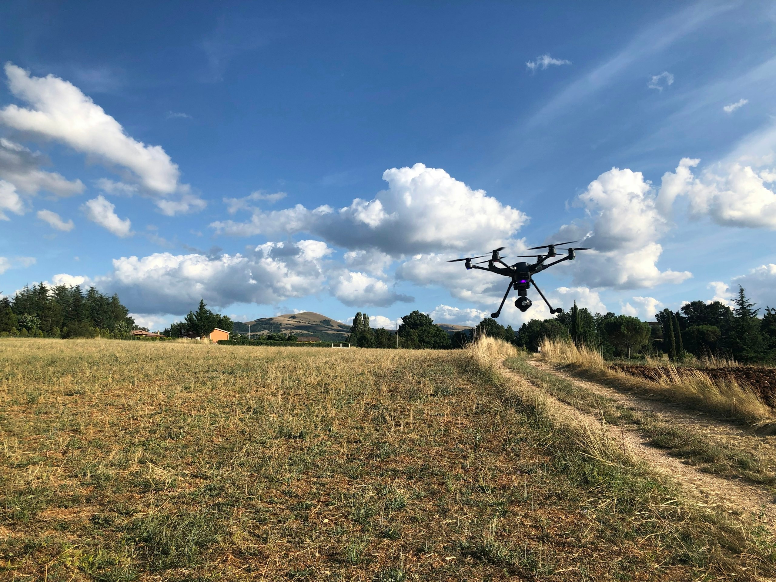
Aerial & UAV Survey
Capture the real world with precision. Turn every flight into intelligence. Survey-grade aerial data captured with the right platform, sensor and mission strategy—creating reliable spatial information for mapping, measurement, engineering and informed decision-making.
The Panovis advantage
A survey is only as valuable as the decisions it makes possible.
Aerial imagery alone is not a survey. Without the right accuracy, control, processing and validation, even the clearest image can leave critical questions unanswered. We approach every mission as a complete information workflow—from understanding the requirement and planning the flight to validating the data and delivering a dataset that can be trusted, measured and used.
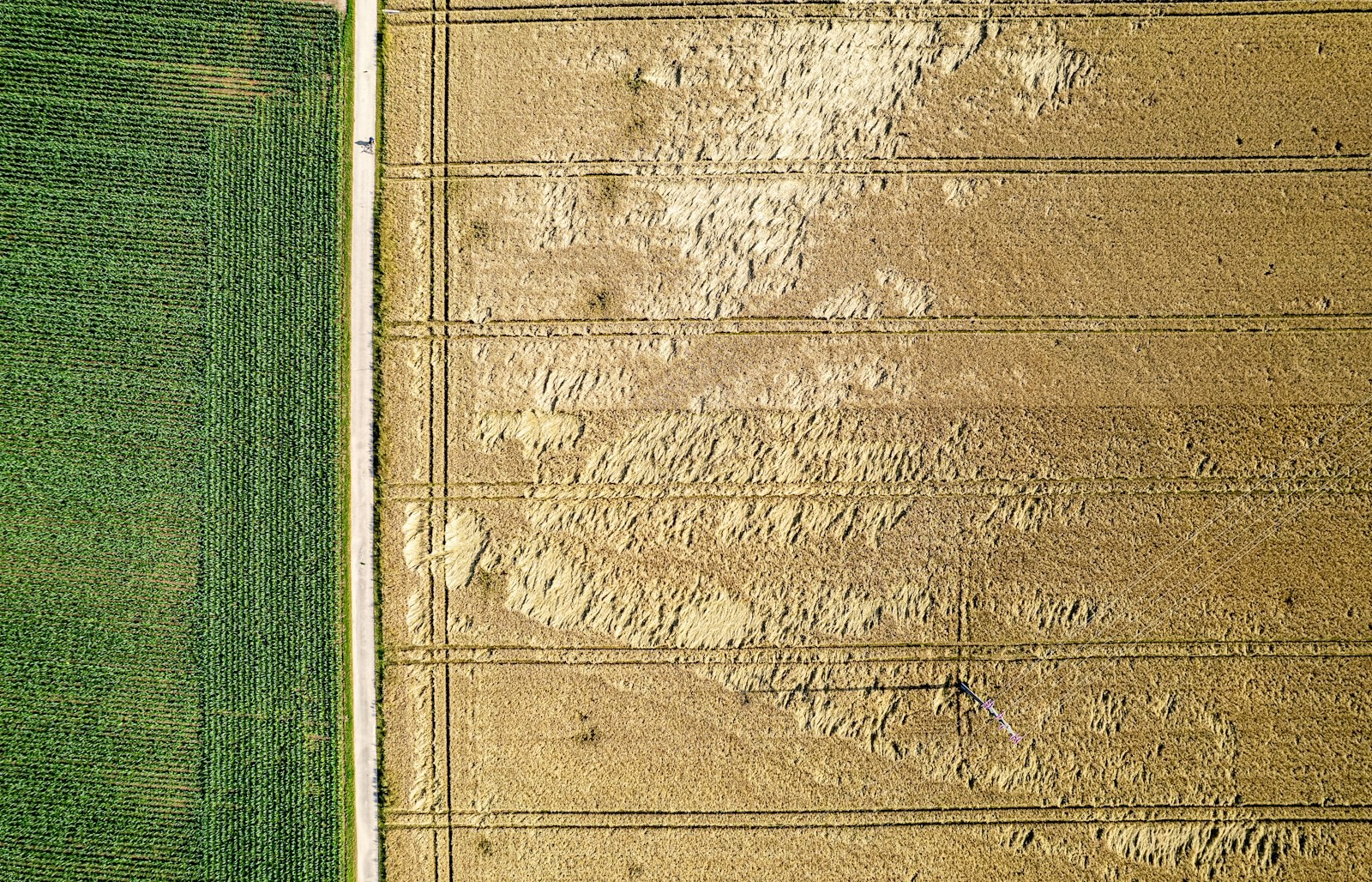
The Panovis logic
Accuracy starts before the drone leaves the ground
Every survey mission demands a deliberate balance of platform, sensor, altitude, coverage, positioning, ground control and environmental conditions. Our approach adapts the survey methodology to the terrain, corridor, asset and intended outcome. Whether the mission requires photogrammetry, LiDAR, thermal or high-resolution visual capture, every flight is designed around the accuracy and intelligence the final dataset must deliver.
What we cover
What turns aerial capture into usable intelligence
Corridor & Alignment Survey
Map rail, road, pipeline and transmission corridors with consistent spatial coverage for planning, inspection and engineering decisions.
LiDAR Capture
Penetrate complex terrain and vegetation to create dense, classified 3D point clouds that reveal the ground beneath.
Photogrammetry
Transform calibrated aerial imagery into accurate, georeferenced spatial datasets, orthomosaics and detailed 3D representations.
Terrain Modelling
Derive DTM, DSM, contours and elevation intelligence from validated aerial survey data to support engineering and planning.
Thermal & Visual Inspection
Combine visual and thermal intelligence to identify condition, anomalies and inspection findings across assets and environments.
Volumetric Survey
Measure stockpiles, excavations and earthwork quantities against defined reference surfaces with repeatable spatial accuracy.
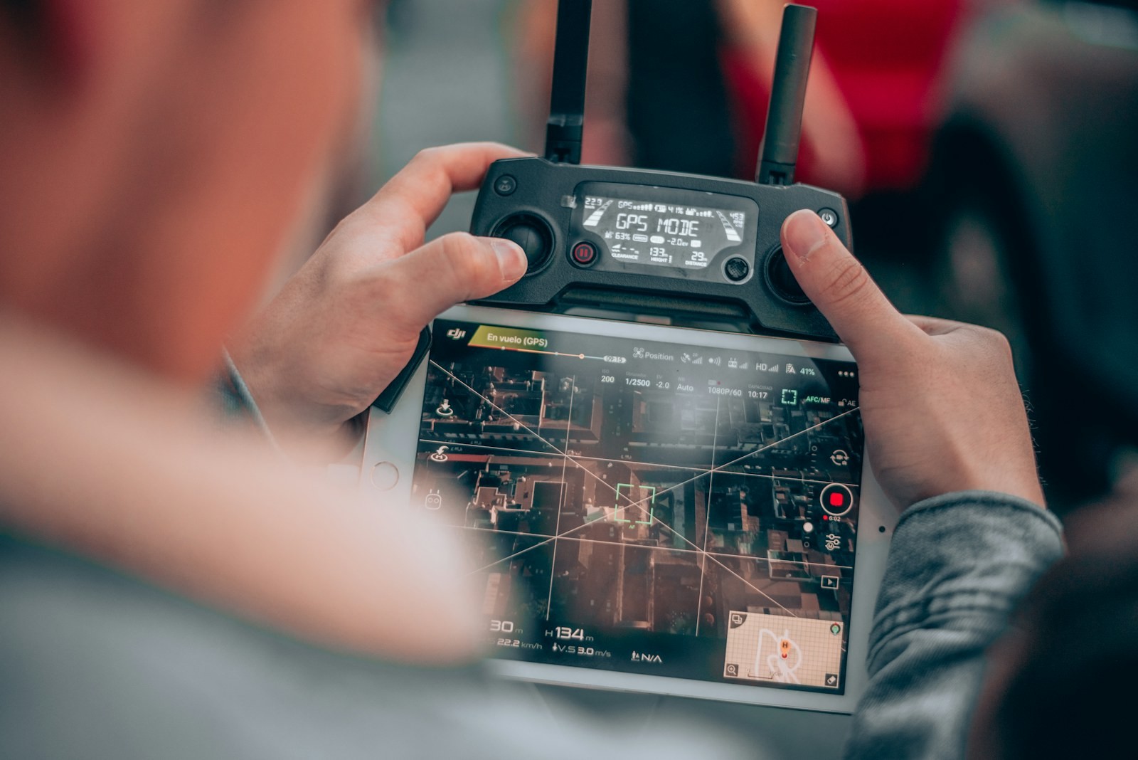
What we have flown
400+
Projects Delivered
400+
Specialists & Experts
5
Global Locations
170,000+km
Highway & Transportation Digital Infrastructure
7,000+km
Railway Corridor Planning, DPR & Tunnel Engineering
20,000+sq km
Aerial & Remote Sensing Intelligence
200+
Heritage Sites Digitized & 3D Documented
Where it applies
Where every metre, contour and asset matters

Infrastructure
Infrastructure projects generate complex spatial, engineering, asset and field data across their lifecycle. Our integrated geospatial intelligence combines UAV surveys, GIS/WebGIS, LiDAR, photogrammetry, asset mapping, digital twins and spatial analytics to enable informed planning, monitoring and lifecycle management.
Explore sector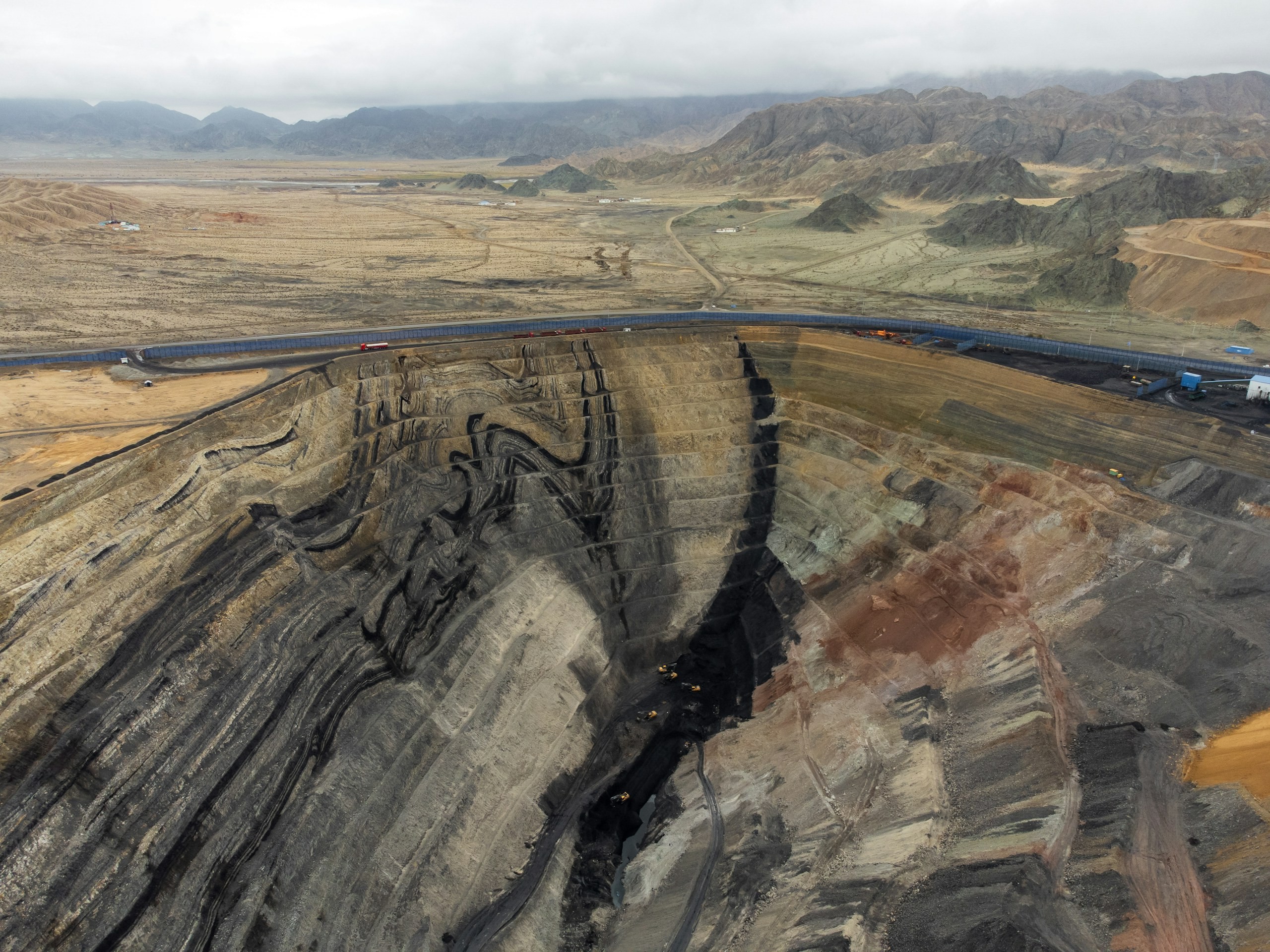
Natural Resources & Mining
Mining and natural-resource operations require accurate, spatially referenced intelligence across terrain, volumes, extraction areas and operational sites. Our solutions combine UAV and LiDAR surveys, photogrammetry, terrain modelling, volumetric analysis, remote sensing, GIS and spatial analytics for precise measurement, monitoring and operational planning.
Explore sector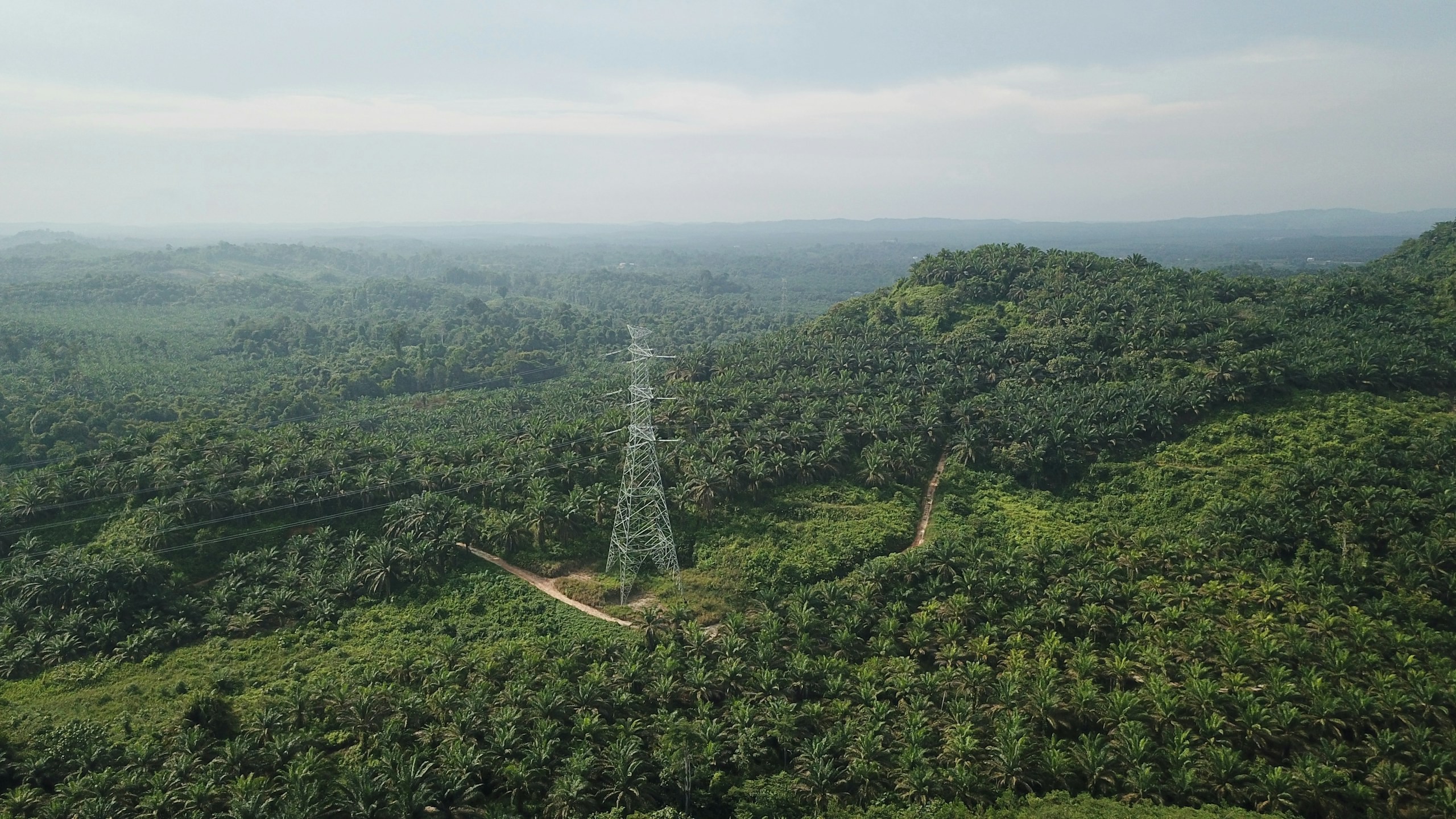
Utility & Energy
Distributed utility networks require precise asset visibility, network intelligence and timely operational insight. Our connected utility intelligence integrates Utility GIS, network mapping, IoT, Field GIS, asset tracking, network analytics, EAM, WebGIS and operational dashboards to connect field operations with enterprise decision-making.
Explore sector
Urban Development & Land Governance
Urban authorities need connected spatial, property and infrastructure data for effective planning and governance. Our solutions combine UAV mapping, cadastral GIS, 3D city models, WebGIS and spatial analytics for informed decision-making.
Explore sector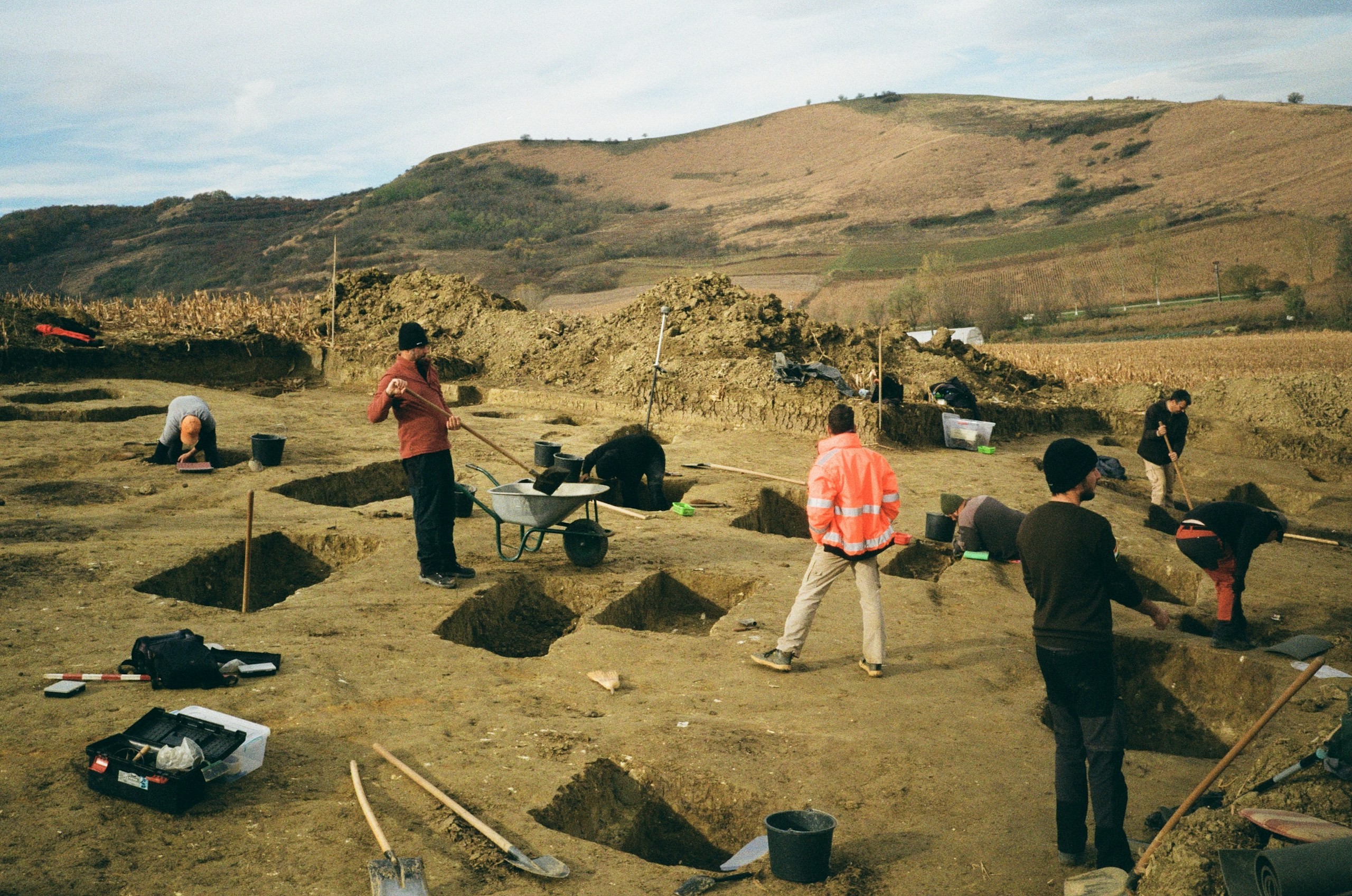
Archaeology & Heritage
Archaeological and heritage assets require precise documentation, digital preservation and condition monitoring with minimal physical intervention. Our digital heritage solutions use UAV photogrammetry, LiDAR, 3D reconstruction, GIS, digital twins and change monitoring to create accurate, durable digital records for conservation and interpretation.
Explore sector
Let’s solve the spatial challenge
Tell us what you’re trying to build, map, monitor or manage. From large-scale surveys and geospatial intelligence to digital twins, asset monitoring and enterprise integration, our team can help define the right data, technology and delivery approach for your requirement.
- EnquiriesPanovis@trentar.com
- Registered officeMumbai, India