


Infrastructure
Infrastructure projects generate complex spatial, engineering, asset and field data across their lifecycle. Our integrated geospatial intelligence combines UAV surveys, GIS/WebGIS, LiDAR, photogrammetry, asset mapping, digital twins and spatial analytics to enable informed planning, monitoring and lifecycle management.
Trusted by


The problem
The corridor is continuous. The project is not.
A rail line, metro, road or highway is designed and delivered in stages — by different teams, at different levels of detail, and often against different data requirements. What begins as a feasibility-grade view of the corridor can become inadequate at detailed engineering, construction or asset management. Gaps in coverage, inconsistent reference systems and unclear accuracy can force teams to revisit the same ground, reconcile conflicting datasets or commission another survey altogether.
The failure usually starts earlier than the design review:
- Control is fragmented — different sections are established against different networks or references, making datasets harder to reconcile.
- Validation is built into the adjustment — without independent check points, reported accuracy can say little about how the data performs in practice.
- Accuracy is stated without context — a number without a defined confidence level, reference system and measurement basis is difficult to defend when design requirements become more demanding.

In detail
What a corridor survey has to carry
A corridor is more than a long survey area. Its geometry has to remain consistent over distance, across changing terrain and where new infrastructure meets existing networks. Small errors can accumulate along the route, becoming significant at alignment, detailed design or construction stage.
That makes the control framework critical. Control must be distributed to maintain network strength, with independent check points kept outside the adjustment so accuracy can be demonstrated. Where the corridor interfaces with existing rail, roads, utilities or other infrastructure, the survey must also align with the reference systems and spatial data already in use.
The right of way is equally important. Structures, encroachments, parcels, boundaries and existing assets need to be captured in a form that supports acquisition, design, construction and future management.
The outcome is not simply an accurate survey, but a consistent spatial foundation for the entire corridor.

The panovis advantage
What a corridor project actually asks for
Route & Alignment
Survey and map rail, metro and highway corridors for route and detailed alignment design.
Terrain & Contours
Create DTM, DSM, contours and terrain models from high-resolution spatial data.
Right of Way (ROW) & Land Intelligence
Map right-of-way, parcels, boundaries, structures and encroachments for acquisition and planning.
Construction Progress Monitoring
Track earthworks, quantities and construction progress through repeat surveys and comparison.
Asset Inspection
Capture and geo-reference the condition of bridges, tunnels, structures and corridor assets.
Detailed Project Reporting
The survey packaged in the structure the appraising authority review of delivered structured maps, models, datasets and reports ready for engineering and project workflows.

Infrastructure work, in numbers
400+
Projects Delivered
400+
Specialists & Experts
5
Global Locations
170,000+km
Highway & Transportation Digital Infrastructure
7,000+km
Railway Corridor Planning, DPR & Tunnel Engineering
20,000+sq km
Aerial & Remote Sensing Intelligence
What we bring
Solutions we bring to infrastructure
Capture, processing and handover for linear assets.
Layer 1
Capture
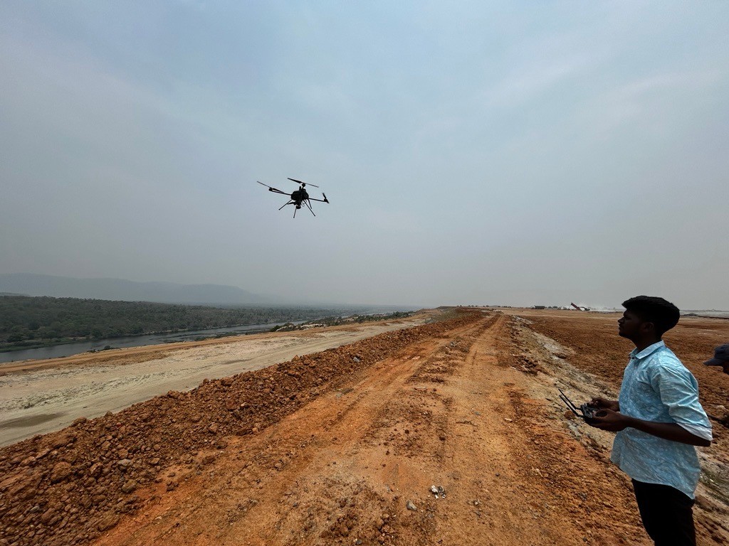
Getting survey-grade data off the ground, from the air and from orbit.
- Aerial
- UAV
- LiDAR
- Remote Sensing
- Photogrammetry
Applications
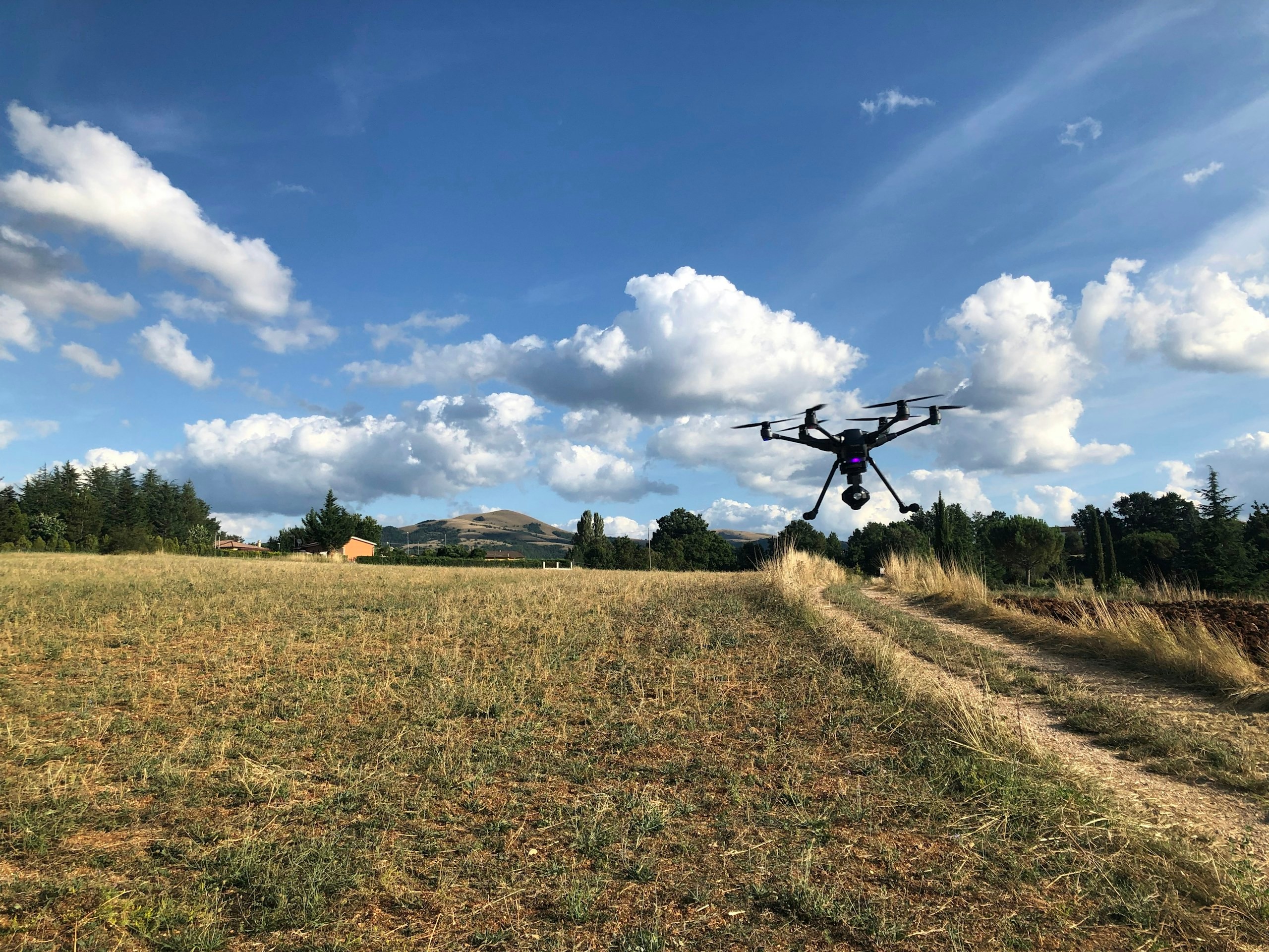
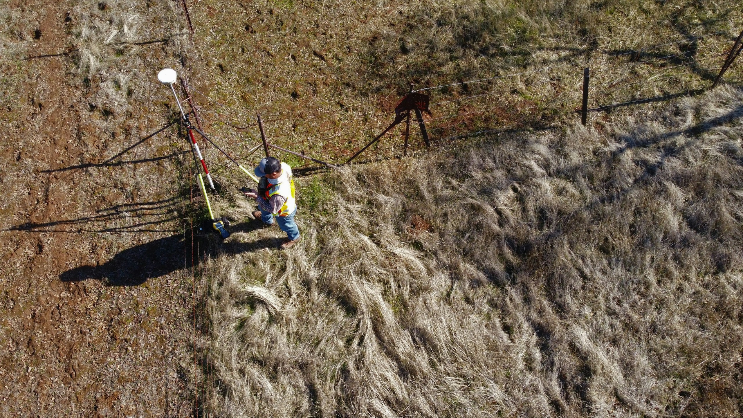
Applications in transport infrastructure
Corridor work, from the alignment survey to the as-built record. The detail pages sit on the GarudaUAV site, from the practice that became Panovis.
Let’s solve the spatial challenge
Tell us what you’re trying to build, map, monitor or manage. From large-scale surveys and geospatial intelligence to digital twins, asset monitoring and enterprise integration, our team can help define the right data, technology and delivery approach for your requirement.
- EnquiriesPanovis@trentar.com
- Registered officeMumbai, India