



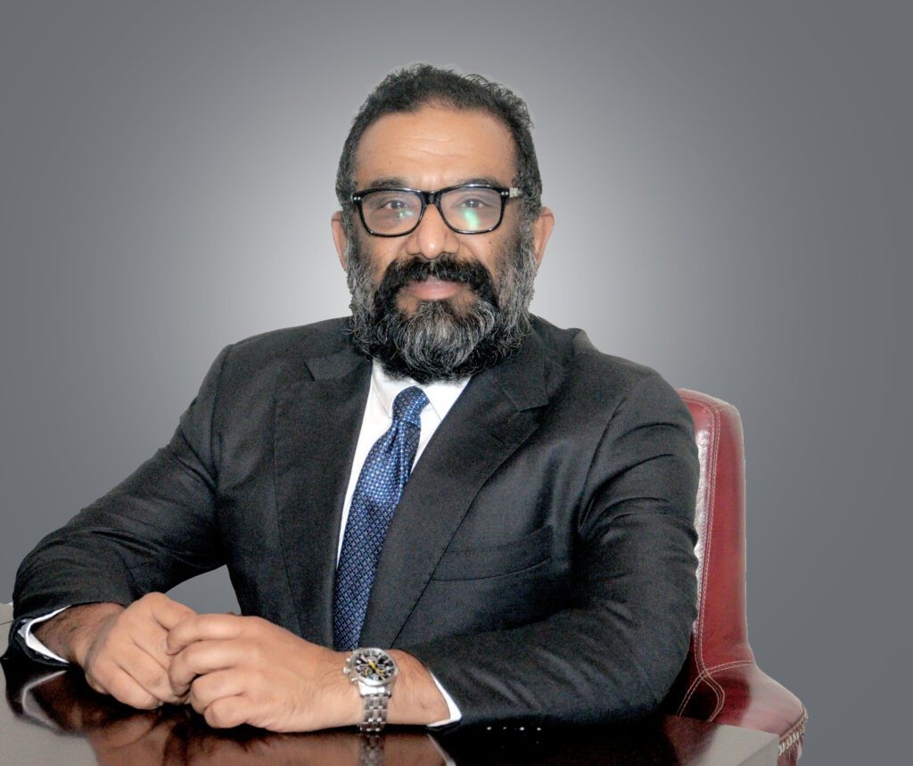
Sudhir Menon
Chairman
Panovis is the geospatial arm of the Trentar Group, formed from GarudaUAV and Stesalit Systems.
Who we are
Panovis brings together the aerial intelligence and geospatial expertise of GarudaUAV with the GIS, IoT and enterprise technology capabilities of Stesalit Systems. Together, we deliver a connected geospatial ecosystem that spans data capture, visualization, analysis and enterprise integration.
Our approach goes beyond delivering data. We transform spatial information into actionable intelligence, digital representations and integrated solutions that help organisations plan, monitor, operate and manage critical assets with greater confidence.
How we got here

Stesalit Systems. Enterprise GIS, IoT and technology capabilities take shape.
GarudaUAV. Aerial surveying and UAV-led geospatial intelligence enters the portfolio.
GarudaUAV and Stesalit Systems come together under the Trentar Group.
Panovis. A unified geospatial technology company connecting data, intelligence and enterprise systems.
Mission and vision
To turn geospatial data into actionable intelligence for better decisions, smarter operations and resilient infrastructure.
One partner for the whole geospatial chain in every sector where the ground decides the outcome.
How we work
We bring capture, visualization, analysis and integration together to turn complex spatial information into clear, actionable intelligence for infrastructure, utilities, cities, energy and the environment.
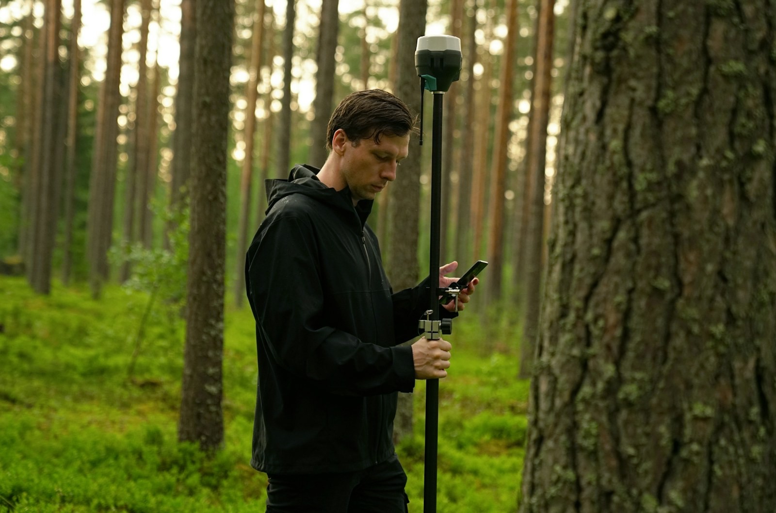
We capture what the real world looks like.
Using aerial, LiDAR, surveying, remote sensing and other geospatial technologies, we build accurate spatial datasets tailored to the requirement.
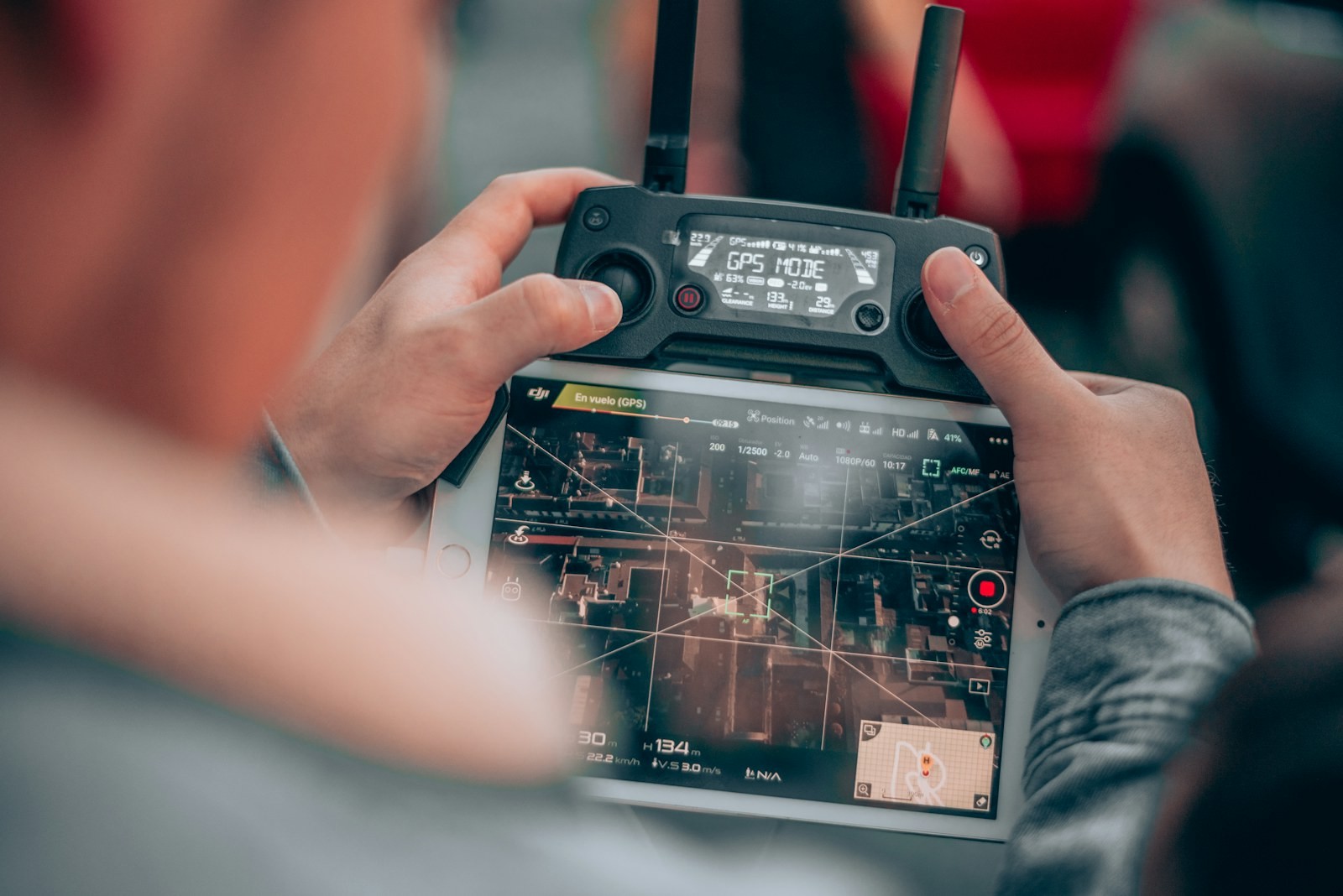
We turn data into a view of the asset.
From 2D maps and 3D models to digital twins and spatial platforms, we make complex environments easier to understand and explore.

We turn spatial data into insight.
We apply GIS, analytics and domain intelligence to identify patterns, assess conditions, monitor change and support better decisions.
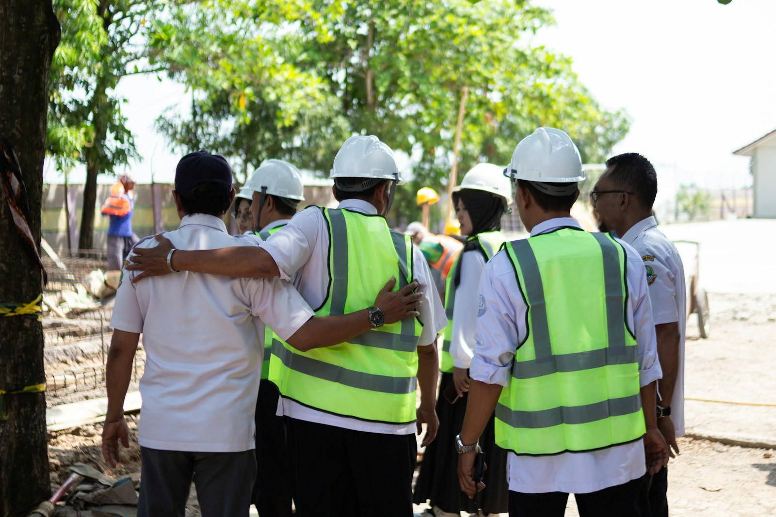
We put intelligence where it can create value.
We connect spatial insights with enterprise systems, IoT platforms and operational workflows so organisations can use geospatial intelligence in their everyday processes.
Delivery record
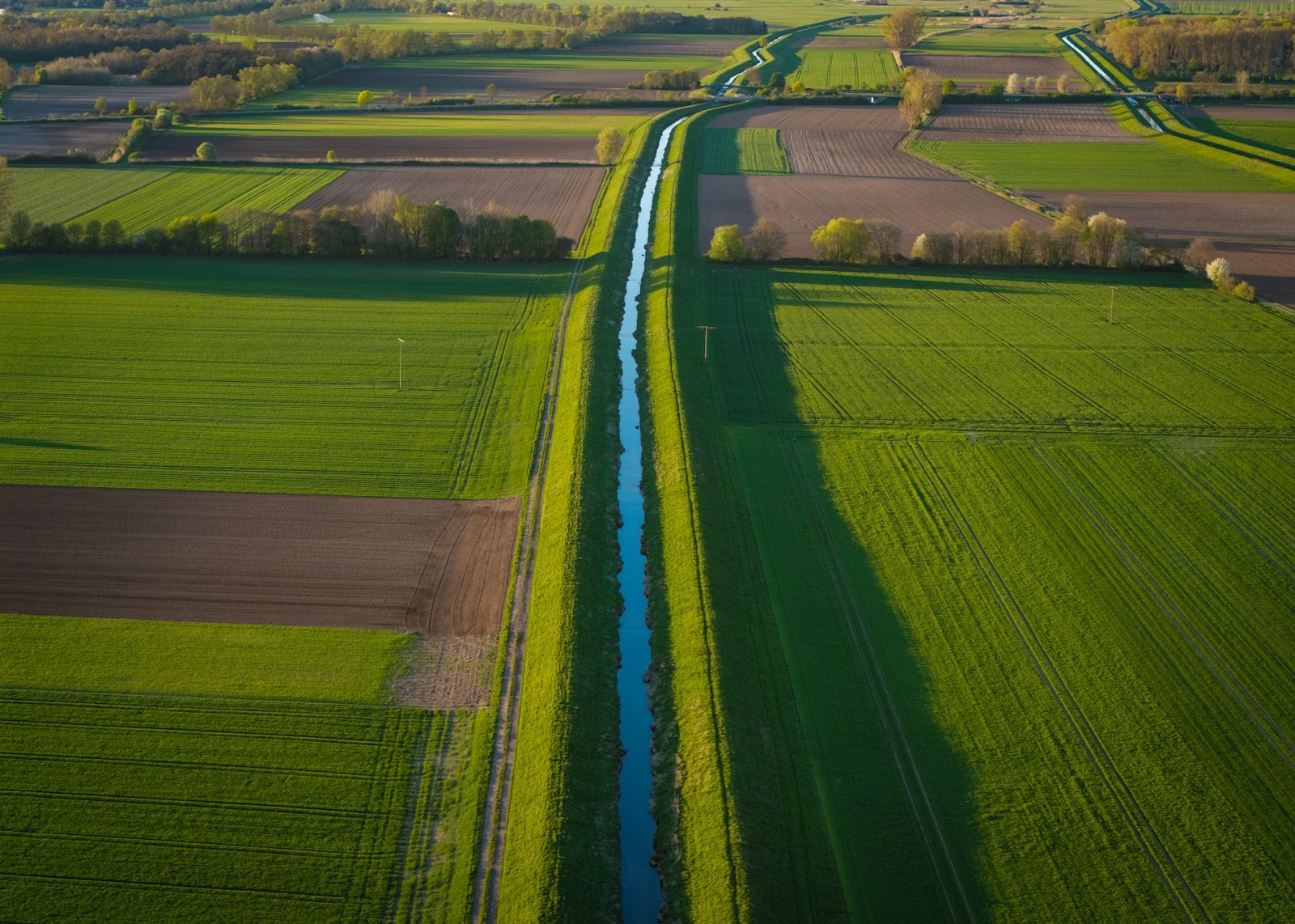
Proven geospatial intelligence delivered at scale across infrastructure, utilities, transport, water, energy, environment and urban development.
Projects Delivered
400+
For public bodies, utilities and private operators.
Specialists & Experts
400+
Global Locations
5
Power Grid Intelligence & Asset Inspection
160,000+ckm
Circuit kilometres of transmission and distribution network surveyed and inspected.
Highway & Transportation Digital Infrastructure
170,000+km
Road and transport corridors surveyed and mapped.
Urban Geospatial Intelligence & Digital Mapping
100,000+sq km
Base mapping and property records for city and state authorities.
Water Resources & Irrigation Intelligence
400,000+ha
Command areas, catchments and irrigation networks mapped.
Railway Corridor Planning, DPR & Tunnel Engineering
7,000+km
Alignment surveys and detailed design reports for rail and metro.
Oil & Gas Pipeline Intelligence & Engineering Support
5,000+km
Route surveys, right-of-way records and condition monitoring.
Renewable Energy Asset Intelligence
5,000+MW
Solar and wind assets surveyed, inspected and kept in record.
Aerial & Remote Sensing Intelligence
20,000+sq km
Coverage flown and processed to survey grade.
Connected IoT Assets Deployed
11,000+
Sensors and trackers in the field, reporting into live systems.
Mining Intelligence & Resource Mapping
2,500+sq km
Pit and stockpile survey, volumetrics and progress monitoring.
Forest Intelligence & Carbon Monitoring
5,000+sq km
Canopy, species and carbon baselines for forest departments.
Heritage Sites Digitized & 3D Documented
200+
Monuments and sites captured as measured 3D records.
Leadership
Chairman

Managing Director
Director

CEO
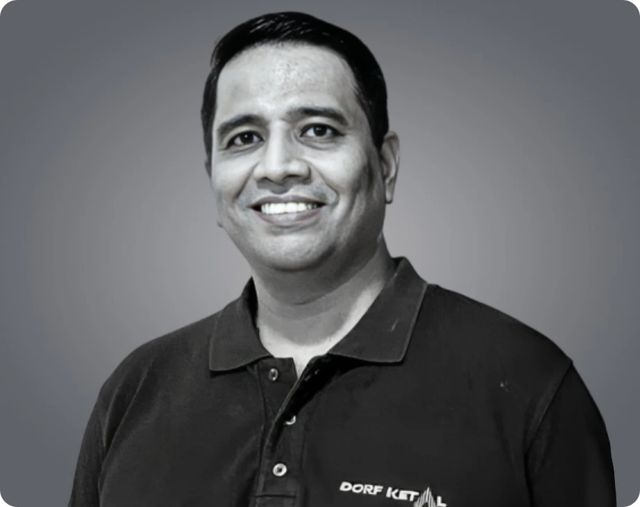
Director

Sr. Vice President, Corporate Affairs

Sr. Vice President, Corporate Affairs
Where we are
Panovis supports organisations across geographies with scalable geospatial solutions spanning data capture, intelligence, digital twins, asset systems and enterprise integration.
Certified quality, occupational safety, information security and service management across Stesalit Systems and GarudaUAV.

Held by Stesalit Systems.

Held by Stesalit Systems.

Held by Stesalit Systems.

Held by Stesalit Systems.

Held by Stesalit Systems.

Held by GarudaUAV.

Held by GarudaUAV.
Some certifications are held by the Trentar Group and cover Panovis as a group company.
Sustainability
Panovis brings geospatial intelligence to some of the world’s most critical environmental challenges: monitoring ecosystems, assessing climate risk, mapping natural resources and supporting resilient infrastructure.
Our technology turns complex environmental data into evidence that organisations can measure, act on and build upon.

Tell us what you’re trying to build, map, monitor or manage. From large-scale surveys and geospatial intelligence to digital twins, asset monitoring and enterprise integration, our team can help define the right data, technology and delivery approach for your requirement.