

TASK
Trentar Aerial Solution Kit: aerial data to actionable insight. A unified platform for planning, capturing, processing and analysing aerial data across critical infrastructure and asset-monitoring use cases.
- Layers
- Capture · Visualize · Analyze · Integrate
What it does
From aerial data to actionable insight
TASK brings the aerial data workflow together: from project and site creation to flight planning, survey management, data processing, AI analytics and report generation.
Built to support multiple use cases across infrastructure monitoring, asset inspection and change detection.
In detail
One platform. Multiple aerial intelligence use cases
TASK MVP demonstrates a complete workflow across four key applications:
- Solar Panel Inspection: detection of single-cell and multi-cell hotspots.
- Highway Monitoring: monitoring of earthwork, base course and wearing course.
- Satellite Image Based Change Detection: detection and analysis of new buildings, extensions and rooftop changes.
- Transmission & Distribution Inspection & Monitoring: inspection of foundations and identification of missing foundation elements.

Core modules
What is inside

Project & Site Management
Create and manage projects, sites and assets.
Flight & Survey Management
Raise flight requests, manage approvals and create surveys.
Data Upload & Processing
Upload raw aerial data and initiate automated pre-processing.

Data Visualization
View processed data and outputs in the workspace.

AI Analytics & Detection
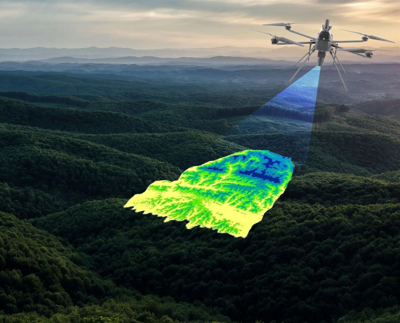
Run AI processing, detect issues or assets and review AI-generated outputs.
Reports & Review
Generate reports and review processed results.
Data sources and integrations
What it reads and what it feeds
Sensors
LiDAR, RGB and multispectral payloads, with the calibration recorded.
Reference data
Control networks, cadastral layers and existing surveys.
Downstream systems
Enterprise GIS, asset management and reporting, through documented interfaces.
What has been flown through TASK.
400+
Projects Delivered
400+
Specialists & Experts
5
Global Locations
160,000+ckm
Power Grid Intelligence & Asset Inspection
170,000+km
Highway & Transportation Digital Infrastructure
100,000+sq km
Urban Geospatial Intelligence & Digital Mapping
400,000+ha
Water Resources & Irrigation Intelligence
20,000+sq km
Aerial & Remote Sensing Intelligence
Where it is used

Infrastructure
Infrastructure projects generate complex spatial, engineering, asset and field data across their lifecycle. Our integrated geospatial intelligence combines UAV surveys, GIS/WebGIS, LiDAR, photogrammetry, asset mapping, digital twins and spatial analytics to enable informed planning, monitoring and lifecycle management.
Explore sector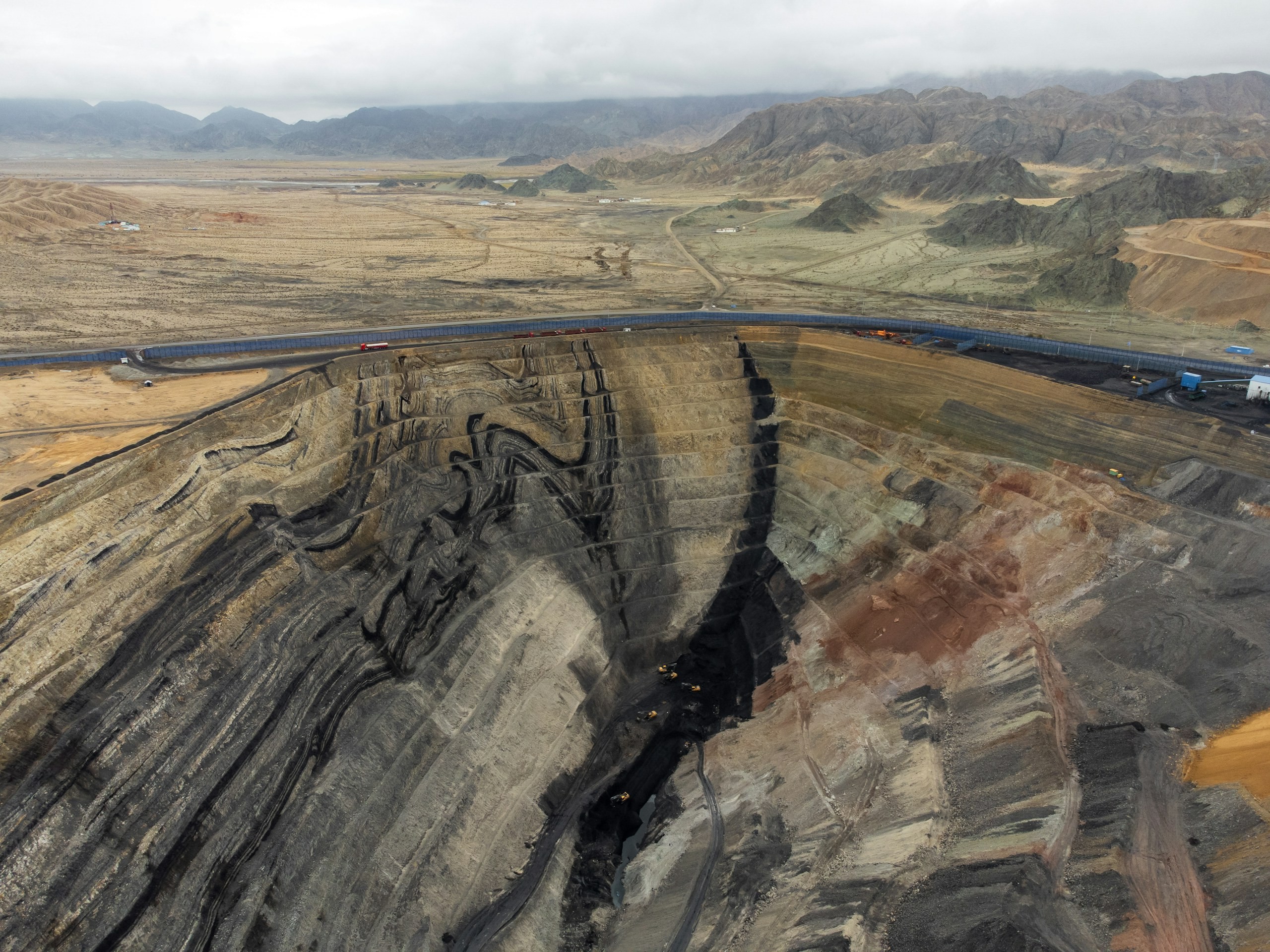
Natural Resources & Mining
Mining and natural-resource operations require accurate, spatially referenced intelligence across terrain, volumes, extraction areas and operational sites. Our solutions combine UAV and LiDAR surveys, photogrammetry, terrain modelling, volumetric analysis, remote sensing, GIS and spatial analytics for precise measurement, monitoring and operational planning.
Explore sector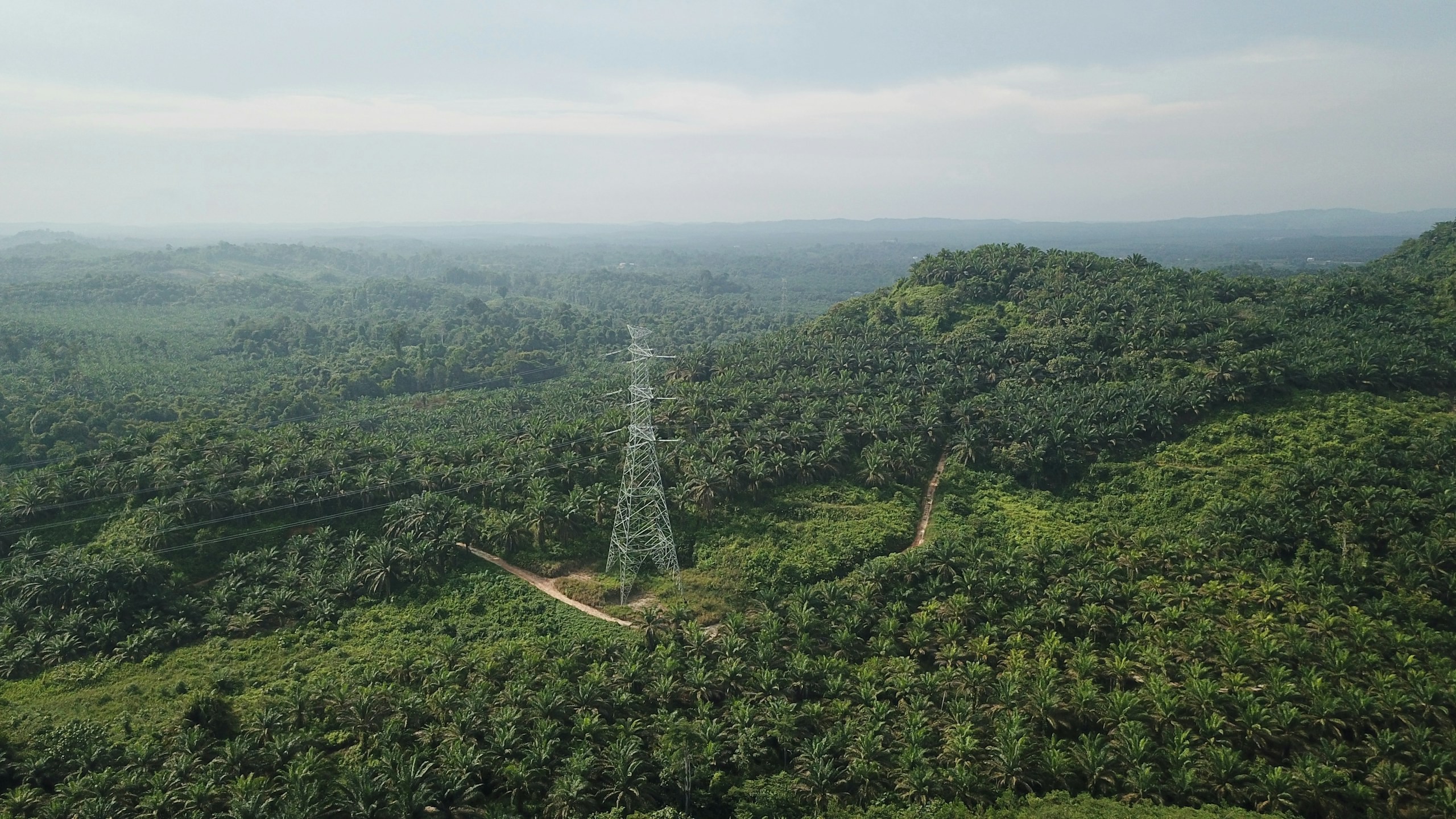
Utility & Energy
Distributed utility networks require precise asset visibility, network intelligence and timely operational insight. Our connected utility intelligence integrates Utility GIS, network mapping, IoT, Field GIS, asset tracking, network analytics, EAM, WebGIS and operational dashboards to connect field operations with enterprise decision-making.
Explore sector
Solutions it supports
Layer 1
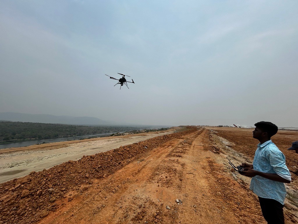
Capture
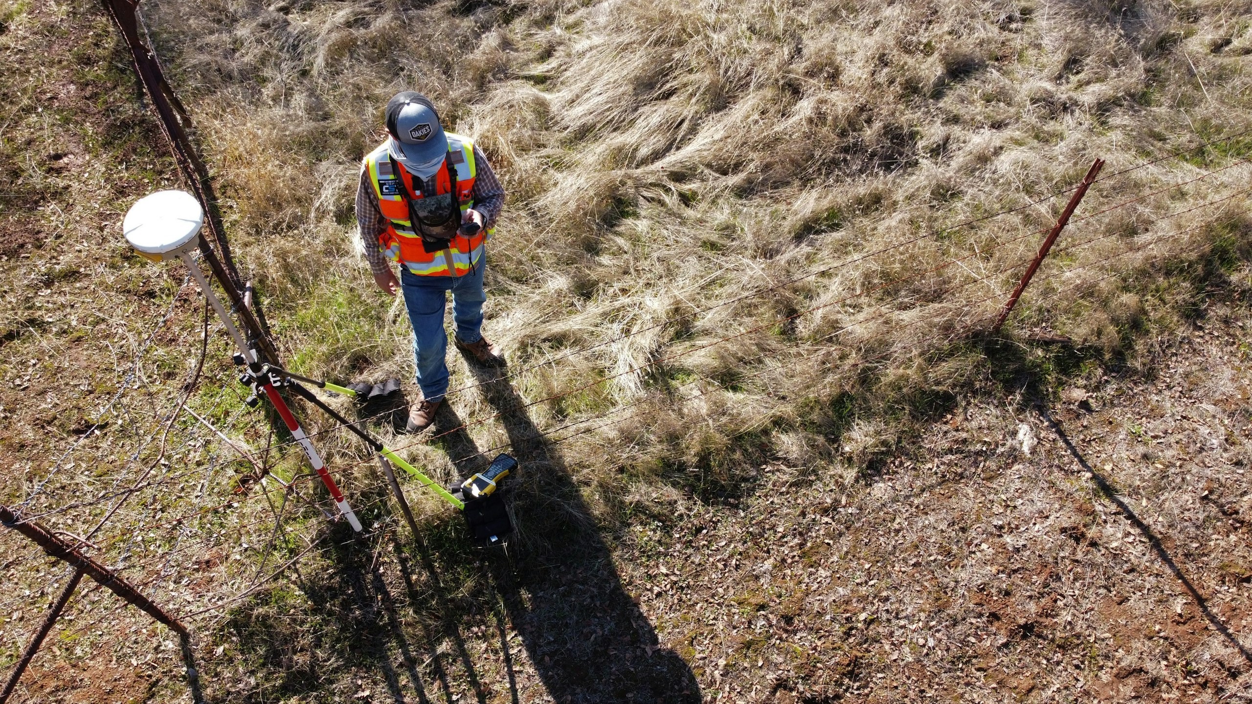
Getting survey-grade data off the ground, from the air and from orbit.
- Aerial
- UAV
- LiDAR
- Remote Sensing
- Photogrammetry
Let’s solve the spatial challenge
Tell us what you’re trying to build, map, monitor or manage. From large-scale surveys and geospatial intelligence to digital twins, asset monitoring and enterprise integration, our team can help define the right data, technology and delivery approach for your requirement.
- EnquiriesPanovis@trentar.com
- Registered officeMumbai, India