

Natural Resources & Mining
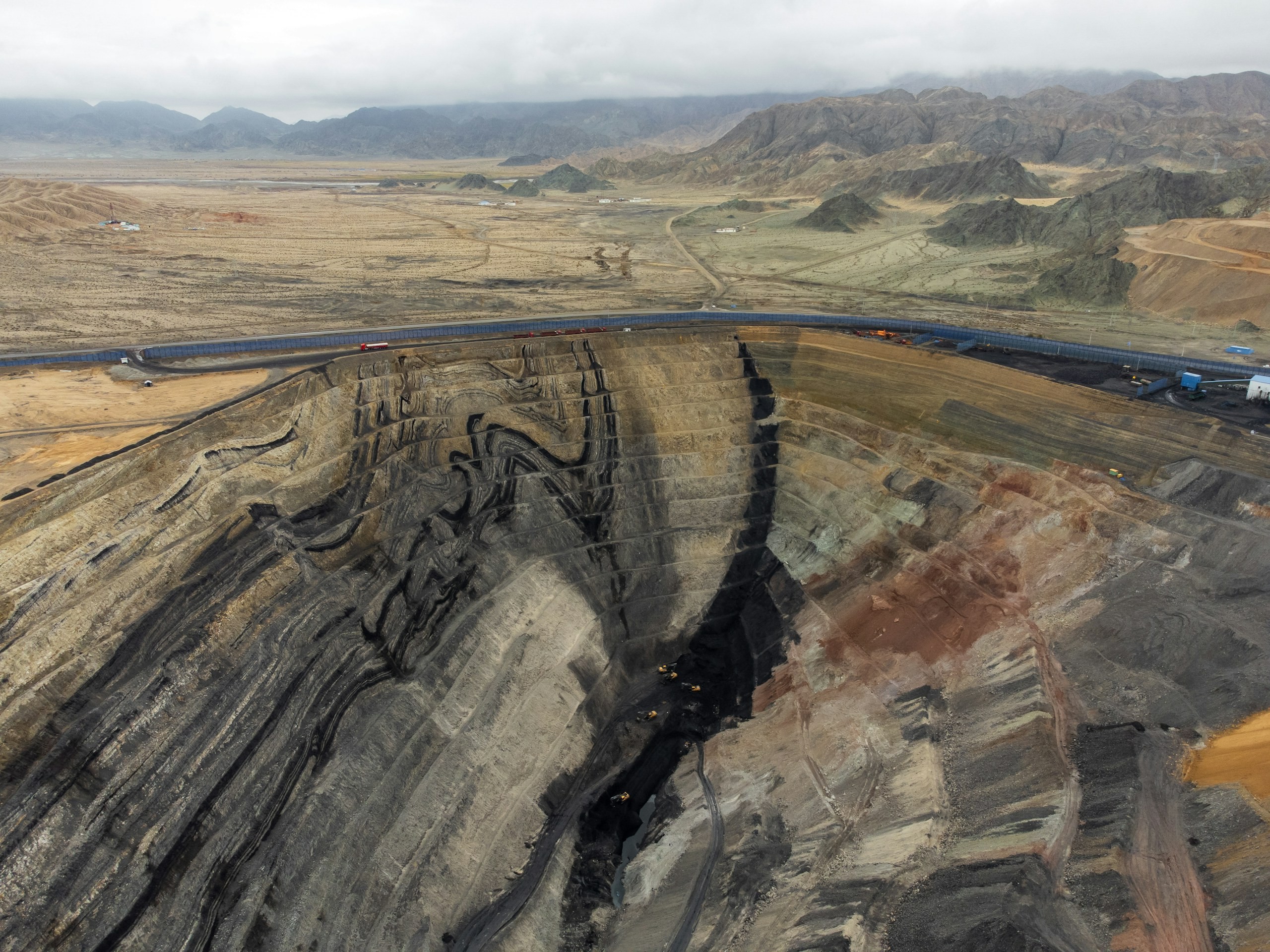
Mining and natural-resource operations require accurate, spatially referenced intelligence across terrain, volumes, extraction areas and operational sites. Our solutions combine UAV and LiDAR surveys, photogrammetry, terrain modelling, volumetric analysis, remote sensing, GIS and spatial analytics for precise measurement, monitoring and operational planning.
Trusted by



The problem
Two obligations, one pit, different calendars
A mine reports volumes to its owners and an environmental record to its regulator, and the two run on separate calendars. Production wants stockpile and excavation figures monthly, sometimes weekly when a contractor is paid by the cubic metre. The regulator wants dust, noise and water readings, plus evidence that the dump slopes and the subsidence around old workings are being watched. Most operations answer these separately: a survey crew walks the stockpiles, and an environmental consultant visits on their own schedule. The result is two records of the same site that never quite agree, and neither is easy to defend when a figure is questioned.
Captured from the air, both come off the same flight. The volume, the slope angle and the dust reading share a date, a coordinate system and a documented accuracy, which is what turns a number into evidence.
In detail
What actually decides a volume figure
A volume is a difference between two surfaces, and three things decide whether the number holds. The reference surface: a stockpile measured against natural ground gives a different figure than the same pile against a surveyed pad, and unless the contract names one, both parties are right. The control: image resolution is not accuracy, and height is the axis photogrammetry resolves least well. The bulk density: volume is measured, tonnage is inferred, and a five per cent error there outweighs everything the survey did right.
Subsidence works the same way in slow motion. A single flight says nothing about movement; it becomes a measurement only against an earlier epoch flown to the same control.

The panovis advantage
The work a mining site actually asks for
Every item below is work we already do, not a capability list.
Volumetric estimation
Measure stockpile, excavation and overburden volumes against defined reference surfaces for production and reconciliation.
Dump height and slope
Measure dump geometry, bench heights and slope angles and compare them with design parameters.
Subsidence monitoring
Monitor ground movement across old workings, settlement zones and active areas through repeat surveys referenced to a consistent control network.
Air Quality Monitoring
Measure PM2.5, PM10 and relevant gases such as CO₂, NO₂ and SO₂ alongside spatial data to relate air-quality observations to site conditions.
Haul road and access
Map road geometry, gradients, drainage and surface conditions to support haul-road planning and maintenance.
Blast Zone Assessment
Map exclusion zones and nearby structures before and after blasting, creating a spatial record of conditions and changes.
The reporting cycle
One capture, two obligations
Scheduled capture
Flights on the production cycle, with the environmental extent flown at the same time.

Surfaces and volumes
Differenced against the previous survey, with the method recorded per figure.

Compliance record
Rehabilitation and disturbance extents documented against the permitted boundary.

Mining and natural resources, in numbers
400+
Projects Delivered
400+
Specialists & Experts
5
Global Locations
20,000+sq km
Aerial & Remote Sensing Intelligence
2,500+sq km
Mining Intelligence & Resource Mapping
What we bring
Solutions we bring to mining
Capture, volumetrics and the monitoring that runs alongside.
Layer 1
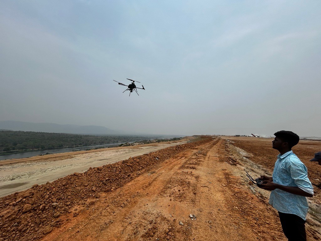
Capture
Getting survey-grade data off the ground, from the air and from orbit.
- Aerial
- UAV
- LiDAR
- Remote Sensing
- Photogrammetry
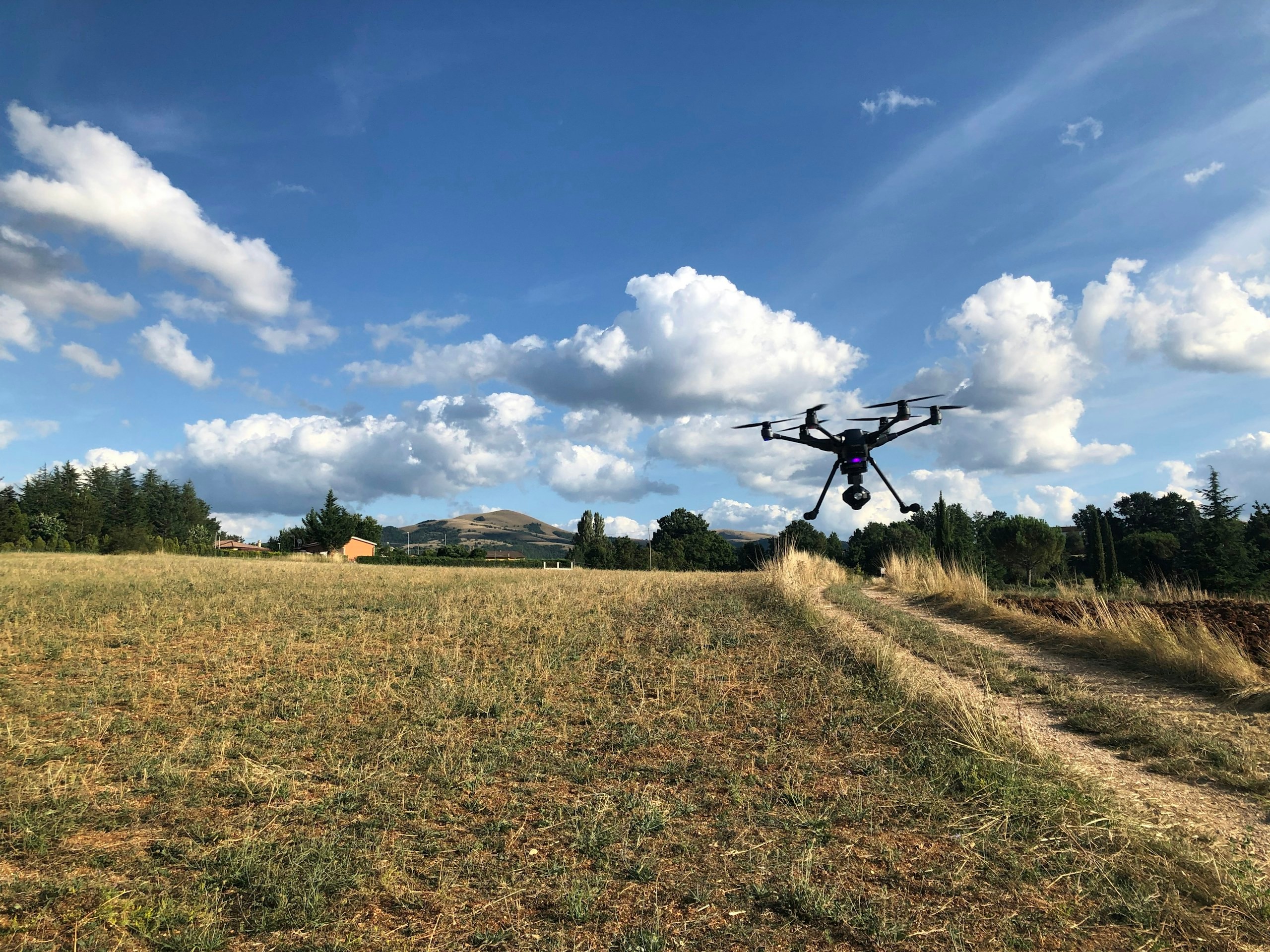
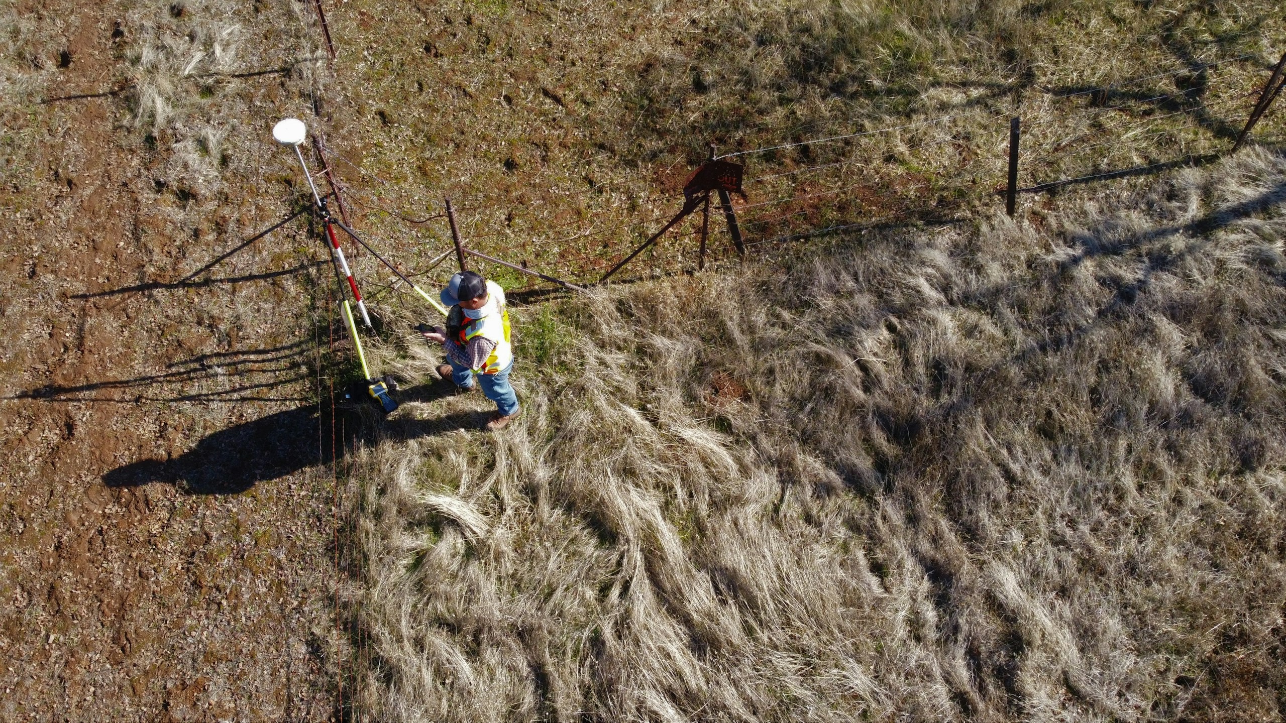
Applications
Applications in mining
The opencast mining page on the GarudaUAV site, from the practice that became Panovis.
Let’s solve the spatial challenge
Tell us what you’re trying to build, map, monitor or manage. From large-scale surveys and geospatial intelligence to digital twins, asset monitoring and enterprise integration, our team can help define the right data, technology and delivery approach for your requirement.
- EnquiriesPanovis@trentar.com
- Registered officeMumbai, India