

Utility & Energy
See the network. Know the asset. Act with confidence. See every asset. Understand every condition. Connect field intelligence to smarter utility operations.
THE CHALLENGE
The network changes faster than the records do.
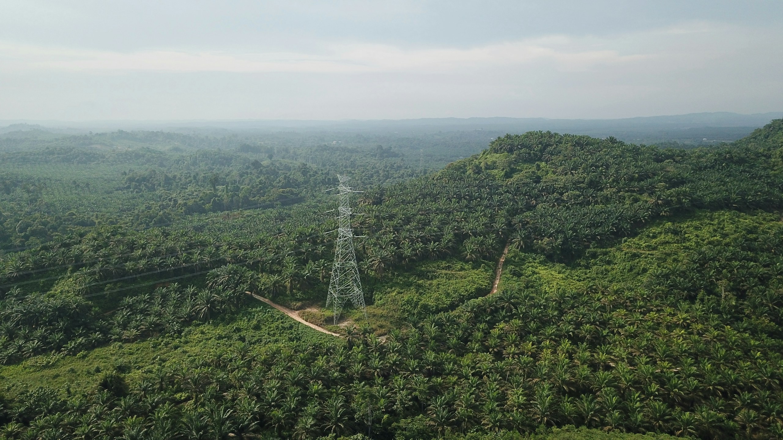
Utility networks are continuously affected by expansion, maintenance, vegetation growth, encroachment, asset deterioration and changing operating conditions.
The fundamental challenge is maintaining an accurate, current and operationally useful representation of distributed assets across extensive rights-of-way. Conventional records can quickly diverge from field reality, while inspection observations may remain disconnected from enterprise asset information.
Integrated UAV, thermal, visual, GIS, IoT and field intelligence can establish a contextual asset view. This supports condition assessment, anomaly interpretation, vegetation and ROW monitoring, asset-register reconciliation and prioritised maintenance decision-making.
In detail
An anomaly is useful only when its context is understood
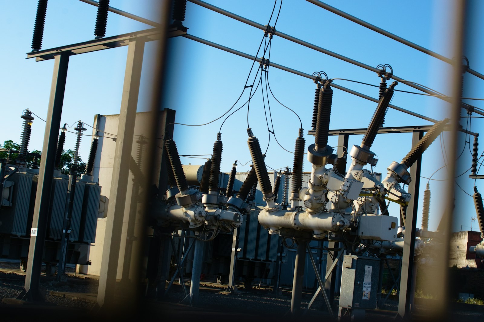
A thermal or visual inspection produces an observation, but operational value comes from understanding that observation in the context of the asset, network and operating environment. Temperature anomalies can be influenced by loading, emissivity, ambient conditions and other factors, while visual evidence helps establish physical context.
Reliable inspection therefore requires accurate geolocation, asset identity, comparable acquisition conditions and integration with existing network records. Combining thermal, RGB, UAV, GIS and field intelligence creates a richer condition dataset. This enables utilities to prioritise anomalies, track asset history and connect inspection evidence with maintenance and enterprise workflows.
The panovis advantage
What network operators need from spatial intelligence
Corridor & Network Mapping
Map transmission and distribution assets
Thermal & Visual Inspection
Detect and assess asset anomalies
Vegetation & Encroachment
Monitor ROW conditions and clearance
Renewable Asset Inspection
Inspect solar and wind assets
Pipeline & ROW Mapping
Map routes, crossings and encroachments
Asset Register & GIS Update
Reconcile field assets with enterprise records
Utility and energy work, in numbers
400+
Projects Delivered
400+
Specialists & Experts
5
Global Locations
160,000+ckm
Power Grid Intelligence & Asset Inspection
5,000+km
Oil & Gas Pipeline Intelligence & Engineering Support
5,000+MW
Renewable Energy Asset Intelligence
20,000+sq km
Aerial & Remote Sensing Intelligence
11,000+
Connected IoT Assets Deployed
What we bring
Solutions We Bring to Utilities & Energy
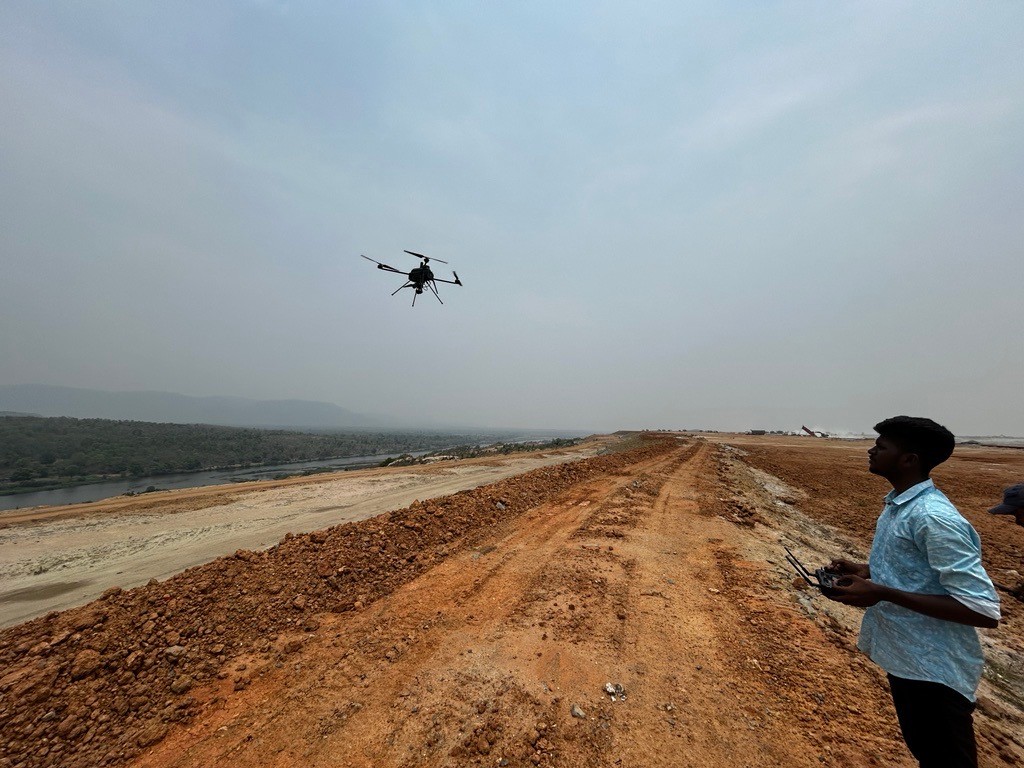
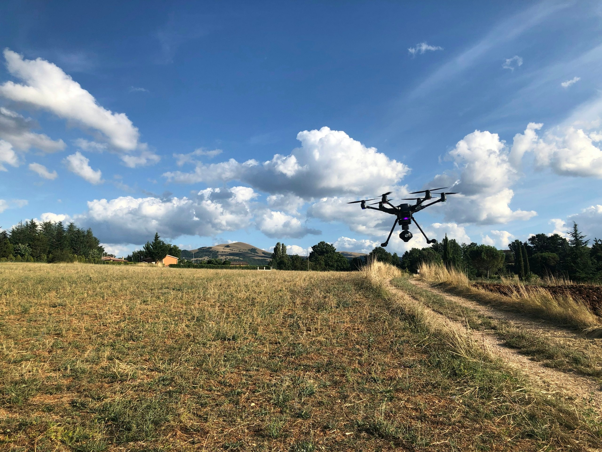
Panovis integrates UAV, aerial, thermal, visual, GIS and field technologies to create location-aware intelligence for distributed utility assets. Network and corridor mapping establishes the spatial context, while thermal and visual inspection adds evidence about asset condition and potential anomalies. Vegetation, encroachment and right-of-way conditions can be monitored alongside renewable-energy assets and pipelines. Field observations can be reconciled with enterprise GIS and asset registers to maintain a more current digital representation. This connected intelligence supports inspection planning, anomaly prioritisation, maintenance workflows and operational decision-making across power, oil & gas, renewable energy and telecom networks.
Layer 1
Capture
Getting survey-grade data off the ground, from the air and from orbit.
- Aerial
- UAV
- LiDAR
- Remote Sensing
- Photogrammetry
Applications
Applications in Utilities & Energy
GarudaUAVgarudauav.com
Stesalit Systemsstesalitsystems.com
Powerline Inspection & Condition Intelligence
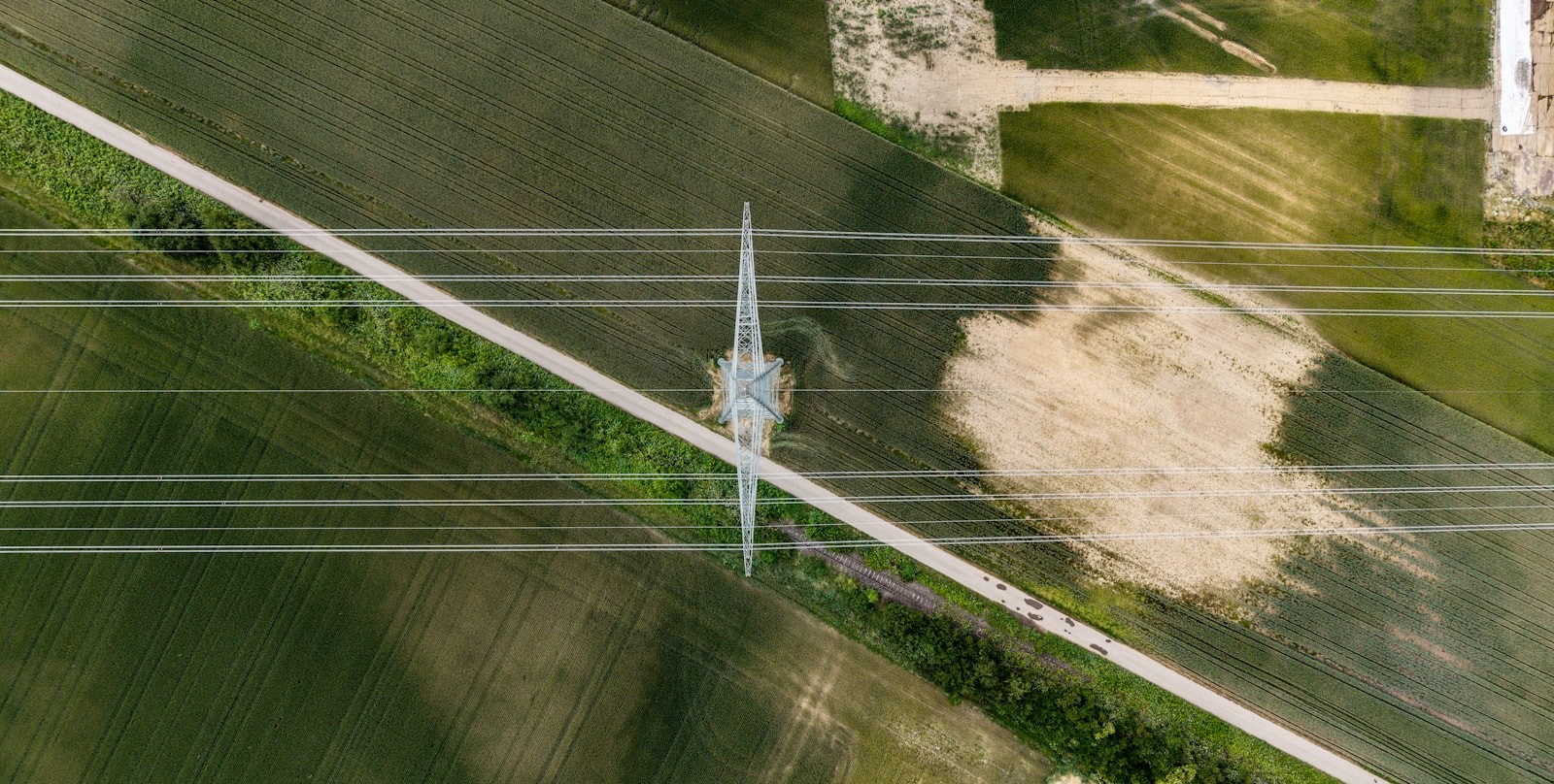
Inspect transmission and distribution lines using aerial, UAV, visual and spatial intelligence to identify asset conditions
Oil & Gas Pipeline Intelligence
Map and monitor oil and gas pipelines, crossings, ROW conditions and surrounding spatial constraints
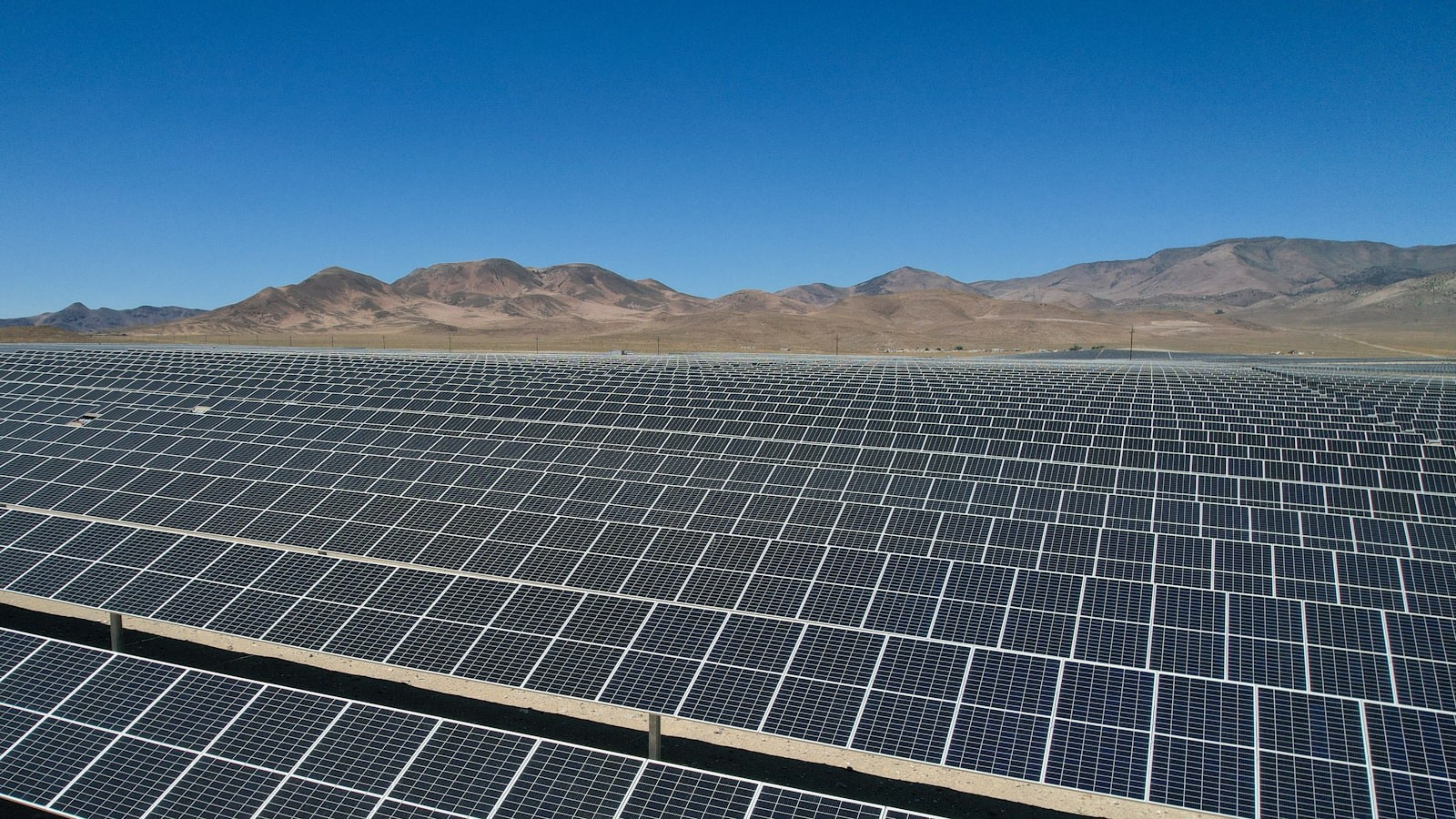
Solar Asset Inspection & Monitoring
Assess solar assets and site conditions using aerial, thermal and spatial inspection technologies
Thermal Power Asset Intelligence
Support spatial inspection and asset intelligence for thermal power infrastructure and associated facilities
Wind Energy Asset Inspection
Inspect wind-energy assets and surrounding site conditions using aerial and spatial survey methods
Telecom Tower & Network Intelligence
Map telecom towers and network assets with location-aware inspection and asset information
Energy Performance & Asset Monitoring
Connect asset observations and spatial data to support monitoring, condition assessment and operational decision-making
Let’s solve the spatial challenge
Tell us what you’re trying to build, map, monitor or manage. From large-scale surveys and geospatial intelligence to digital twins, asset monitoring and enterprise integration, our team can help define the right data, technology and delivery approach for your requirement.
- EnquiriesPanovis@trentar.com
- Registered officeMumbai, India