


Digital Twin Solutions
Turn the real world into a living digital intelligence. Create connected digital representations of assets, infrastructure and environments that can be explored, maintained, analysed and used to support better decisions throughout their lifecycle.
The Panovis advantage
A 3D model shows what exists. A digital twin keeps telling you what is happening.
A detailed model can look impressive on day one and become outdated soon after. A digital twin creates value when the model remains connected to the asset, its information and the systems that keep it current. We design twins around the decisions they must support—so the model is not simply something to view, but something teams can interrogate, understand and act upon.
The Panovis Logic
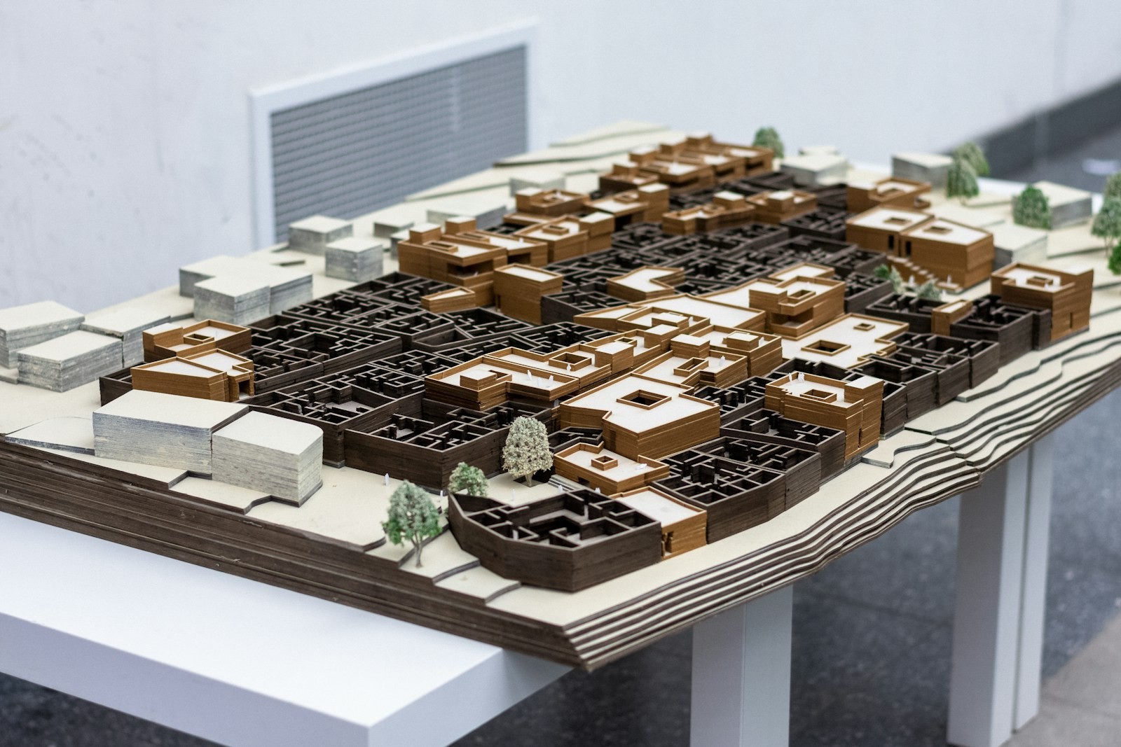
Build only as much twin as the question demands.
Not every asset needs the same level of digital fidelity. A maintenance twin needs the right geometry, condition attributes and system links; a structural or operational twin may require greater spatial precision, live data and analytical capability. We begin with the decision, use case and lifecycle requirement, then define the appropriate level of fidelity, data, connectivity and update frequency. The twin is therefore designed to be useful—not merely detailed.
What we cover
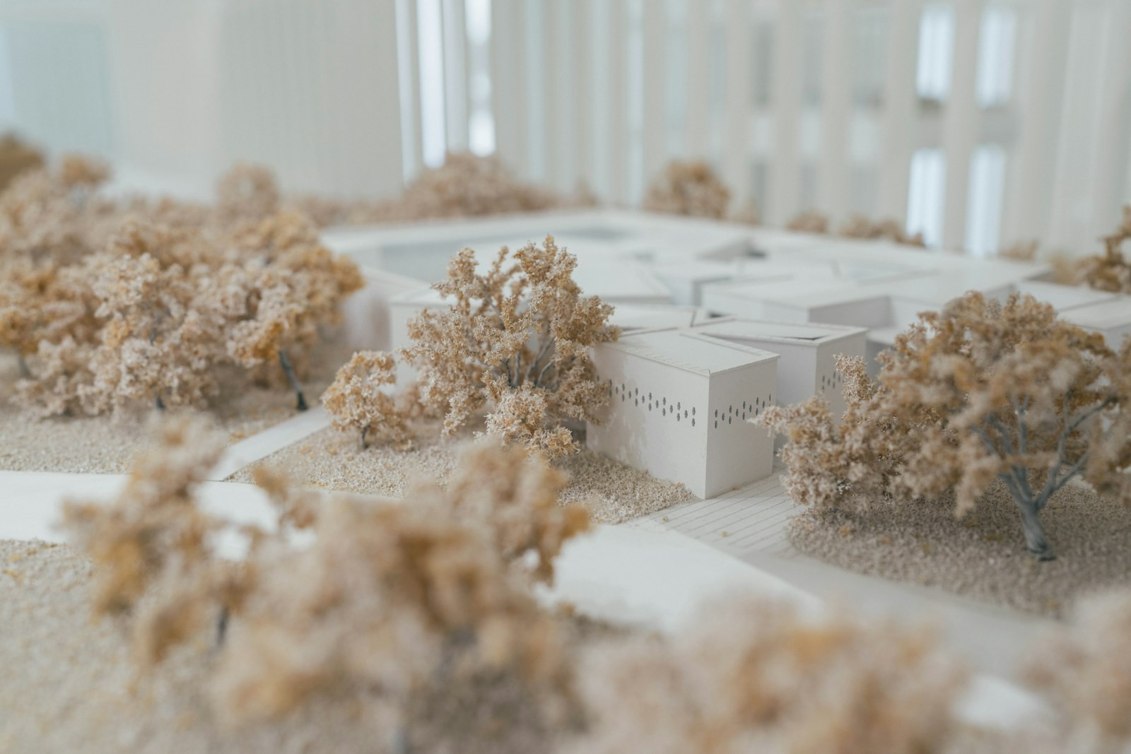
What a digital twin has to do besides look right
Scope & Fidelity
Define what the twin needs to answer, and model only the level of detail required to support those decisions effectively.
Capture & Reconstruction
Combine photogrammetry, LiDAR, terrestrial scanning and other reality-capture techniques to create accurate, measurable digital representations.
Attributes & Relationships
Connect geometry with condition, asset identity, documents, systems and operational attributes to create an intelligent asset context.
Update Path
Define how the twin stays current through agreed workflows for surveys, asset changes, operational updates and lifecycle information.
Simulation Support
Prepare structured spatial and asset data to support analysis, simulation, scenario planning and future-state evaluation.
Open Handover
Deliver open, interoperable data and formats so the twin can connect with enterprise platforms and systems rather than becoming another isolated viewer.
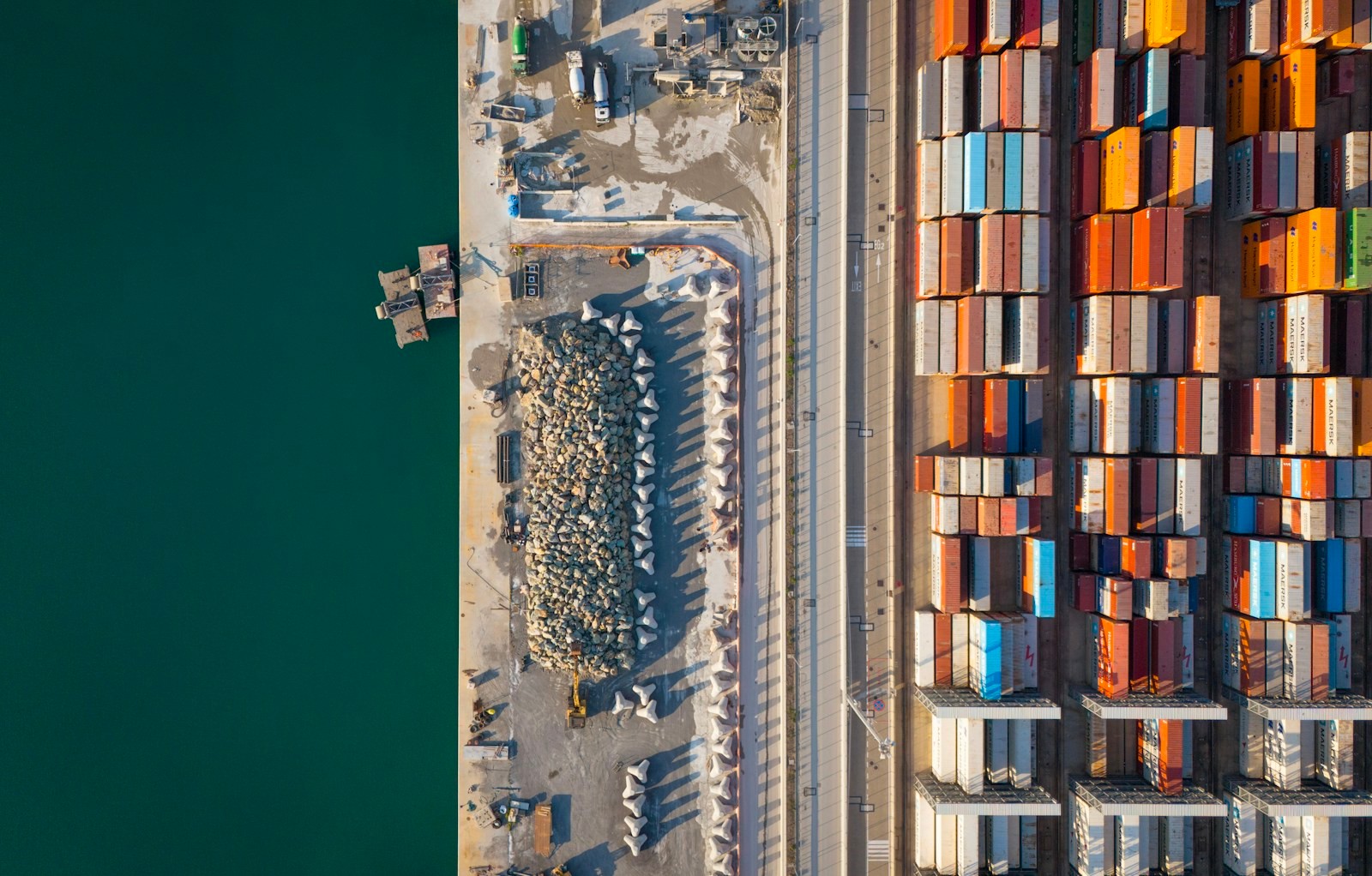
What we have modelled.
400+
Projects Delivered
400+
Specialists & Experts
5
Global Locations
100,000+sq km
Urban Geospatial Intelligence & Digital Mapping
200+
Heritage Sites Digitized & 3D Documented
Where it applies
Where the real world needs a digital counterpart

Infrastructure
Infrastructure projects generate complex spatial, engineering, asset and field data across their lifecycle. Our integrated geospatial intelligence combines UAV surveys, GIS/WebGIS, LiDAR, photogrammetry, asset mapping, digital twins and spatial analytics to enable informed planning, monitoring and lifecycle management.
Explore sector
Urban Development & Land Governance
Urban authorities need connected spatial, property and infrastructure data for effective planning and governance. Our solutions combine UAV mapping, cadastral GIS, 3D city models, WebGIS and spatial analytics for informed decision-making.
Explore sector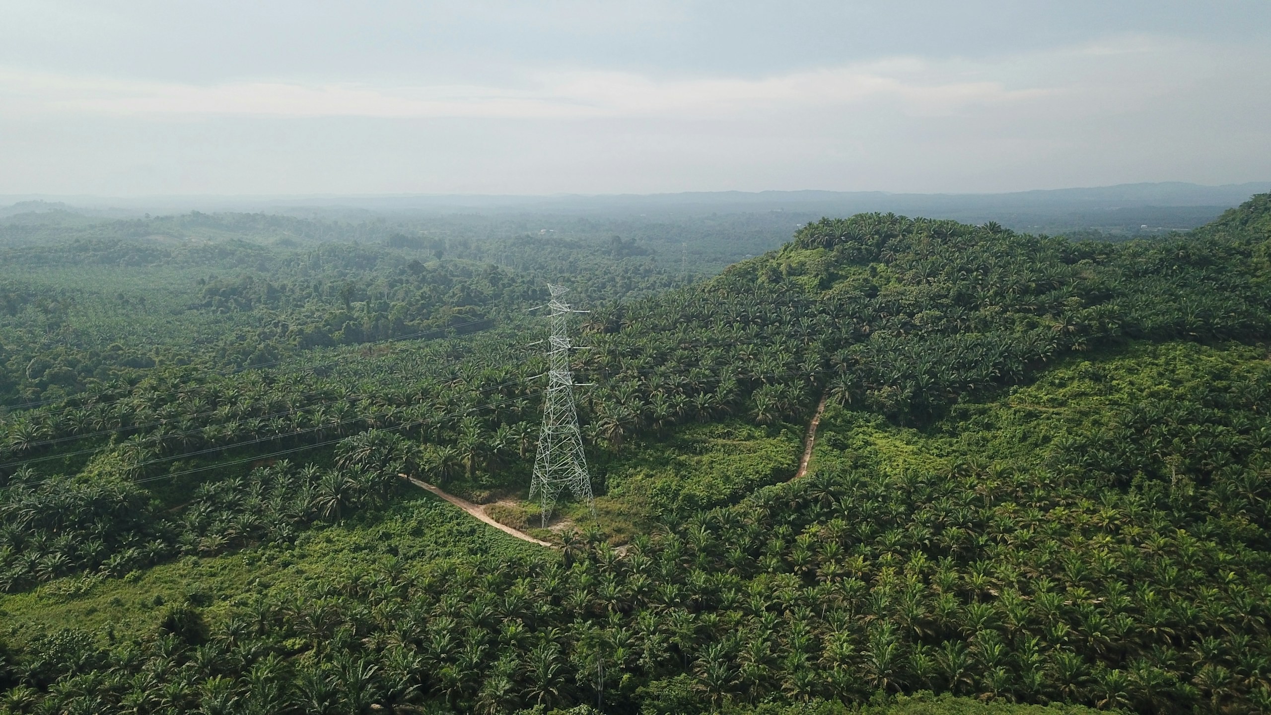
Utility & Energy
Distributed utility networks require precise asset visibility, network intelligence and timely operational insight. Our connected utility intelligence integrates Utility GIS, network mapping, IoT, Field GIS, asset tracking, network analytics, EAM, WebGIS and operational dashboards to connect field operations with enterprise decision-making.
Explore sector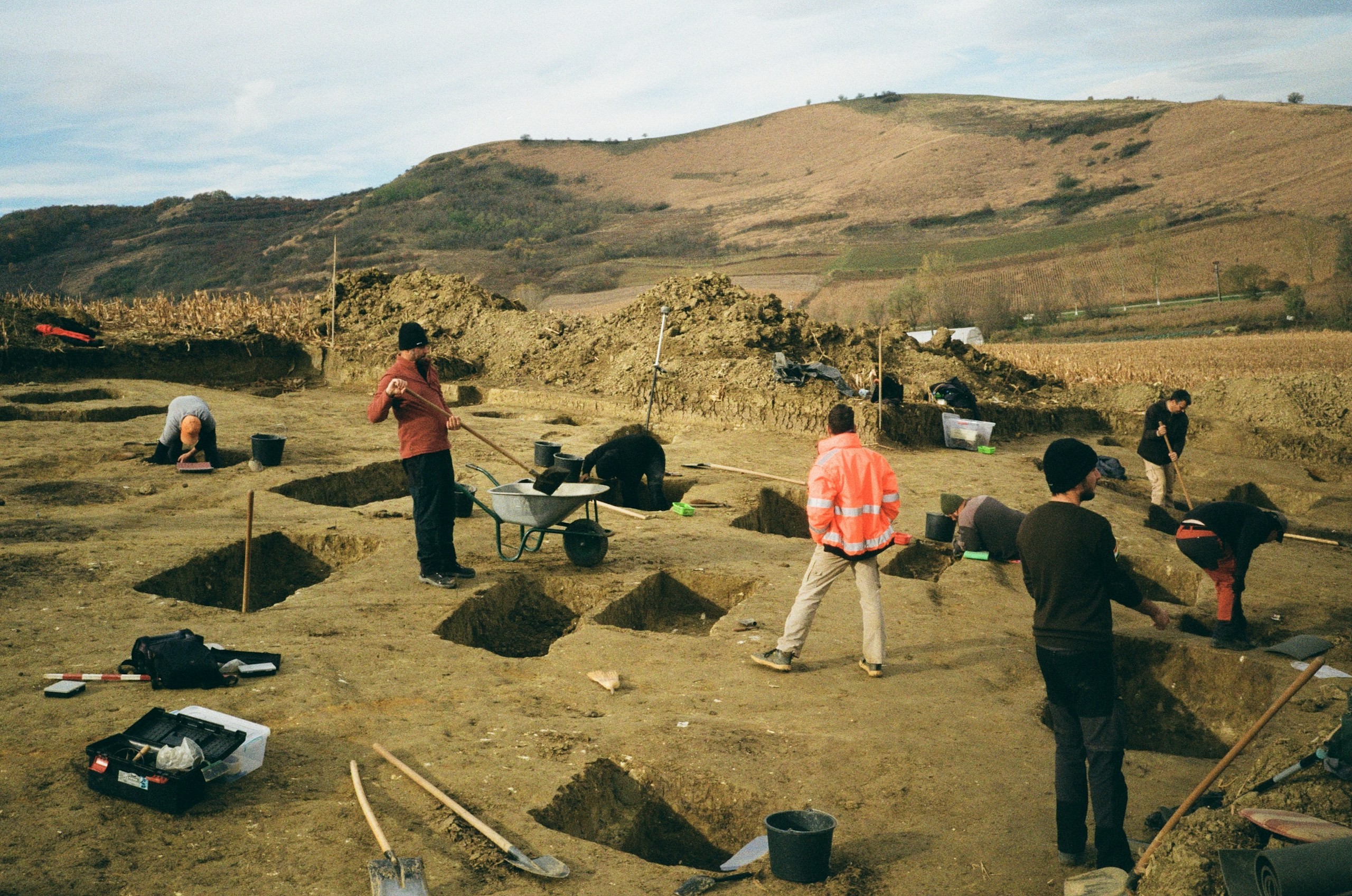
Archaeology & Heritage
Archaeological and heritage assets require precise documentation, digital preservation and condition monitoring with minimal physical intervention. Our digital heritage solutions use UAV photogrammetry, LiDAR, 3D reconstruction, GIS, digital twins and change monitoring to create accurate, durable digital records for conservation and interpretation.
Explore sector
Let’s solve the spatial challenge
Tell us what you’re trying to build, map, monitor or manage. From large-scale surveys and geospatial intelligence to digital twins, asset monitoring and enterprise integration, our team can help define the right data, technology and delivery approach for your requirement.
- EnquiriesPanovis@trentar.com
- EnquiriesPanovis@trentar.com