

Remote Sensing & Photogrammetry
See beyond the image. Measure what the landscape is telling you. Transform LiDAR, multispectral, hyperspectral, satellite and aerial imagery into accurate spatial intelligence—revealing terrain, land cover, vegetation, surface conditions and change that can be measured, analysed and acted upon.
The Panovis advantage
The resolution is fine. The interpretation is the work.
A sharper image does not automatically create better intelligence. The real challenge is knowing what the image represents, how accurately it can be classified, when it was captured and whether the interpretation can withstand scrutiny. We turn imagery into survey-grade and decision-ready products through classification, ground truth, accuracy assessment and disciplined interpretation—so the final layer is more than a picture; it is evidence.

The Panovis Logic
Two dates rarely compare straight out.
Change detection is meaningful only when the datasets being compared are genuinely comparable. Differences in season, sensor, resolution, classification, atmospheric conditions and acquisition timing can create apparent change where none exists. Our approach normalises the evidence before interpreting the difference—aligning acquisition conditions, classification methods and accuracy measures so that observed change reflects the landscape, not the limitations of the imagery.
What we cover
From raw scenes to a layer someone can act on
Land Cover & Land Use
Convert imagery into structured land-cover and land-use intelligence using defined classification schemes, ground truth and measurable accuracy.
Change Detection
Compare time-separated imagery on a consistent basis to distinguish genuine landscape change from differences caused by season, sensor or acquisition conditions.
Multispectral & Hyperspectral
Unlock spectral signatures to analyse vegetation, species, stress, materials and surface characteristics beyond what visible imagery alone can reveal.
Photogrammetric Products
Transform overlapping imagery into orthomosaics, surface models, terrain models and measurable 3D spatial products ready for GIS and CAD workflows.
Thermal Products
Convert thermal observations into surface-temperature intelligence for plant, network, infrastructure and environmental monitoring.
Accuracy Assessment
Validate interpreted products against independent samples and confidence measures so that the difference between a classification and a defensible result remains clear.
What the imagery has covered.
400+
Projects Delivered
400+
Specialists & Experts
5
Global Locations
100,000+sq km
Urban Geospatial Intelligence & Digital Mapping
400,000+ha
Water Resources & Irrigation Intelligence
20,000+sq km
Aerial & Remote Sensing Intelligence
5,000+sq km
Forest Intelligence & Carbon Monitoring
Where it applies
Where imagery becomes evidence
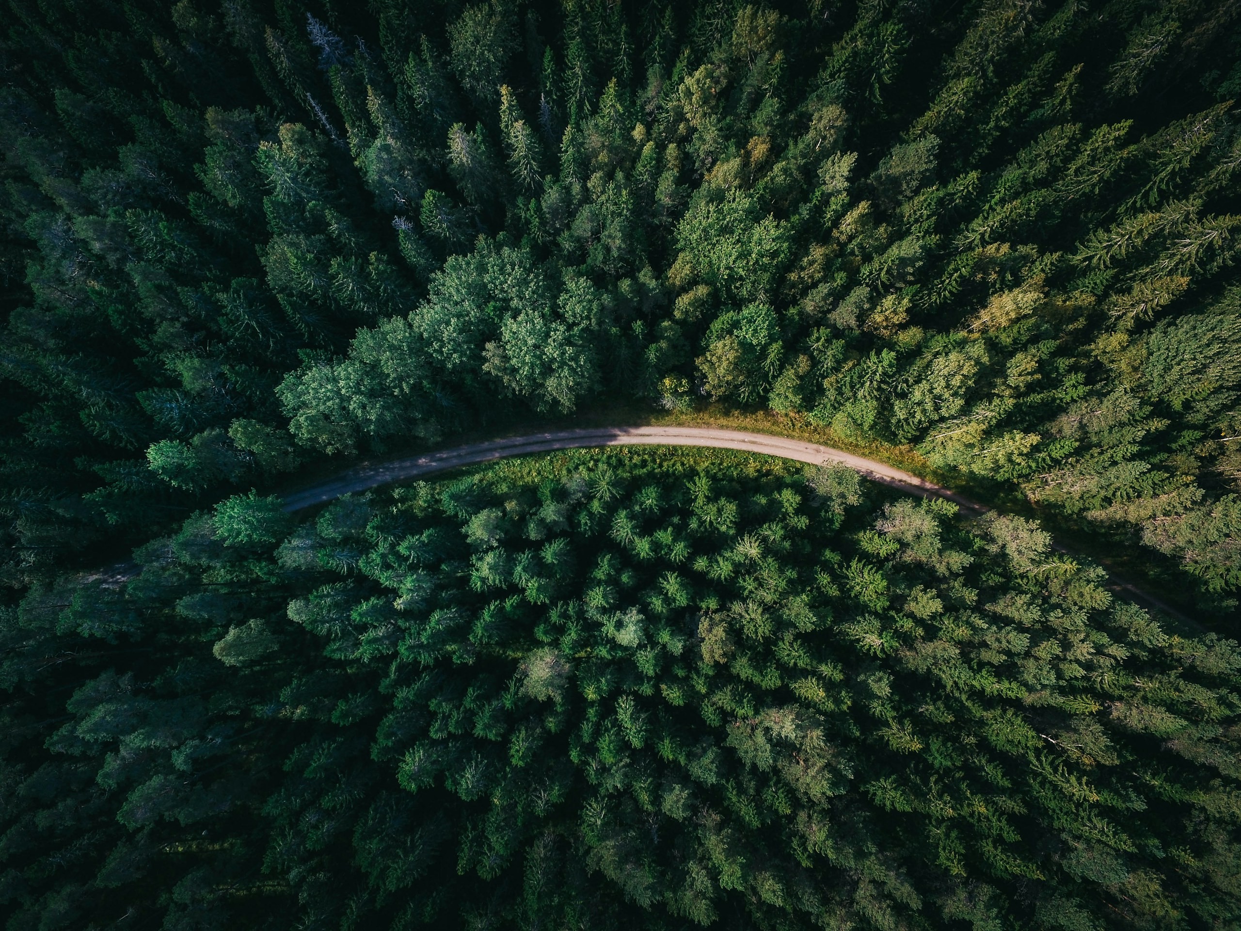
Environment, Forest & Climate Change
Environmental programmes need reliable spatial data to monitor forests, biodiversity, land cover and climate risks. Our solutions combine UAVs, remote sensing, LiDAR, GIS and spatial analytics for monitoring and sustainable resource management.
Explore sector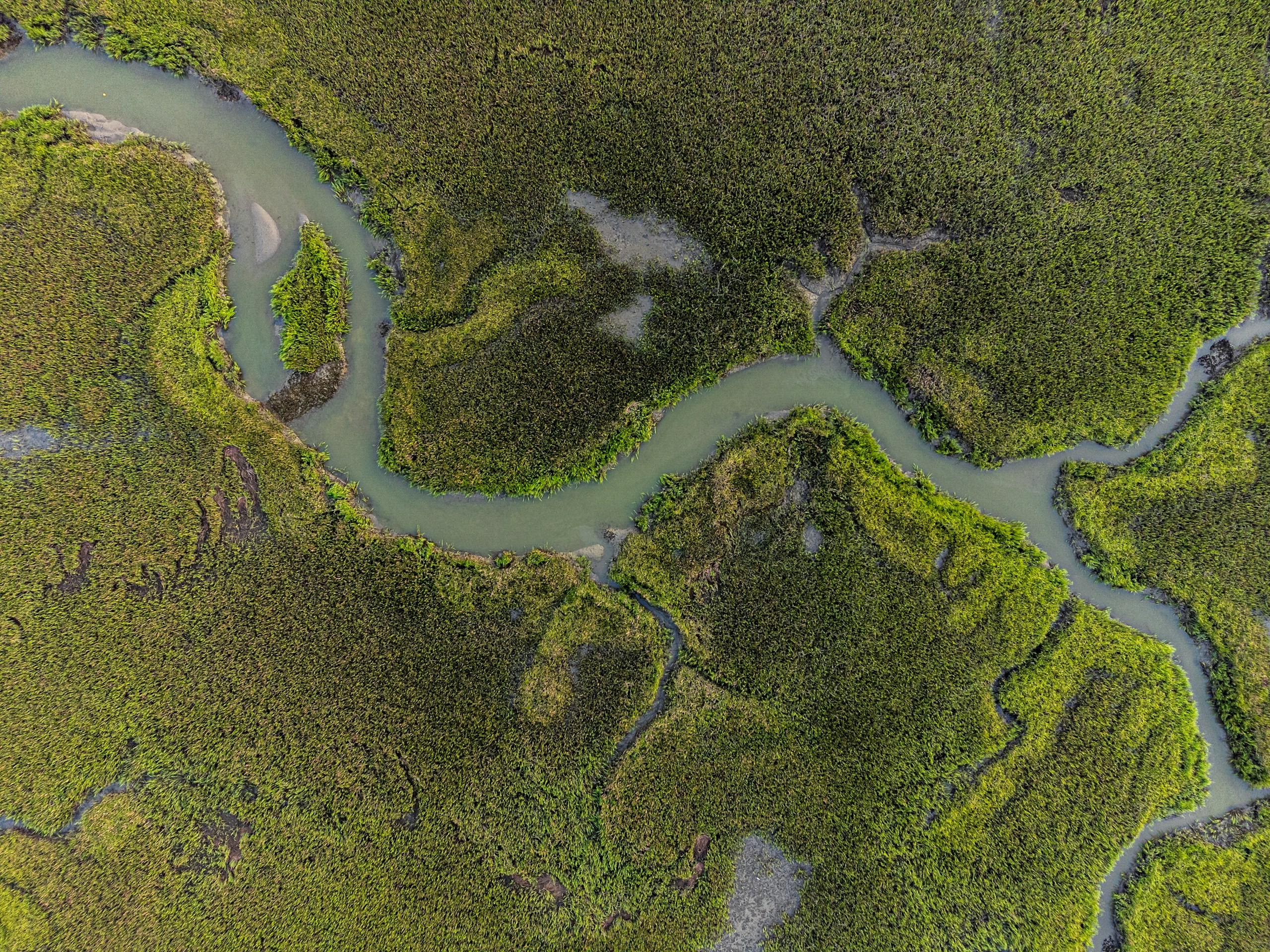
Water Resources
Water-resource programmes require integrated intelligence across terrain, hydrology, irrigation networks, reservoirs and command areas. Our geospatial solutions combine UAV surveys, DEM/DTM, remote sensing, hydrological analysis, water-asset mapping, GIS/WebGIS and spatial analytics for planning, monitoring and resource management.
Explore sector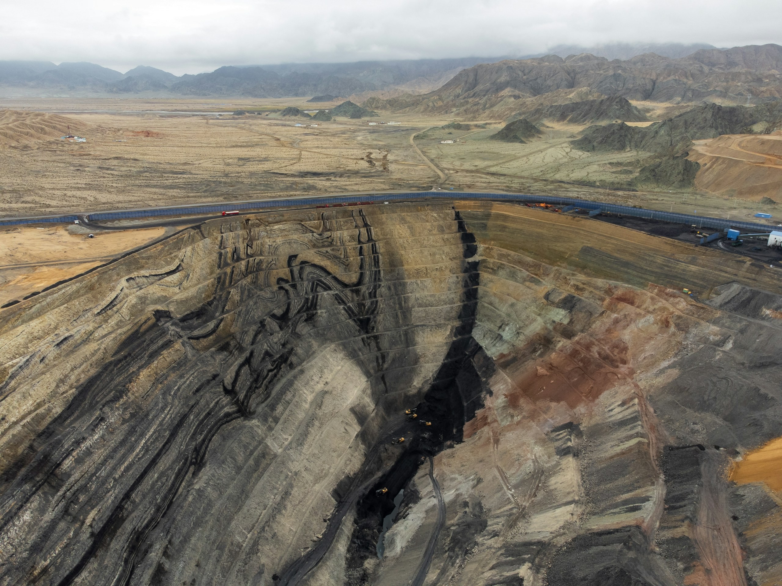
Natural Resources & Mining
Mining and natural-resource operations require accurate, spatially referenced intelligence across terrain, volumes, extraction areas and operational sites. Our solutions combine UAV and LiDAR surveys, photogrammetry, terrain modelling, volumetric analysis, remote sensing, GIS and spatial analytics for precise measurement, monitoring and operational planning.
Explore sector
Infrastructure
Infrastructure projects generate complex spatial, engineering, asset and field data across their lifecycle. Our integrated geospatial intelligence combines UAV surveys, GIS/WebGIS, LiDAR, photogrammetry, asset mapping, digital twins and spatial analytics to enable informed planning, monitoring and lifecycle management.
Explore sector
Let’s solve the spatial challenge
Tell us what you’re trying to build, map, monitor or manage. From large-scale surveys and geospatial intelligence to digital twins, asset monitoring and enterprise integration, our team can help define the right data, technology and delivery approach for your requirement.
- EnquiriesPanovis@trentar.com
- Registered officeMumbai, India