

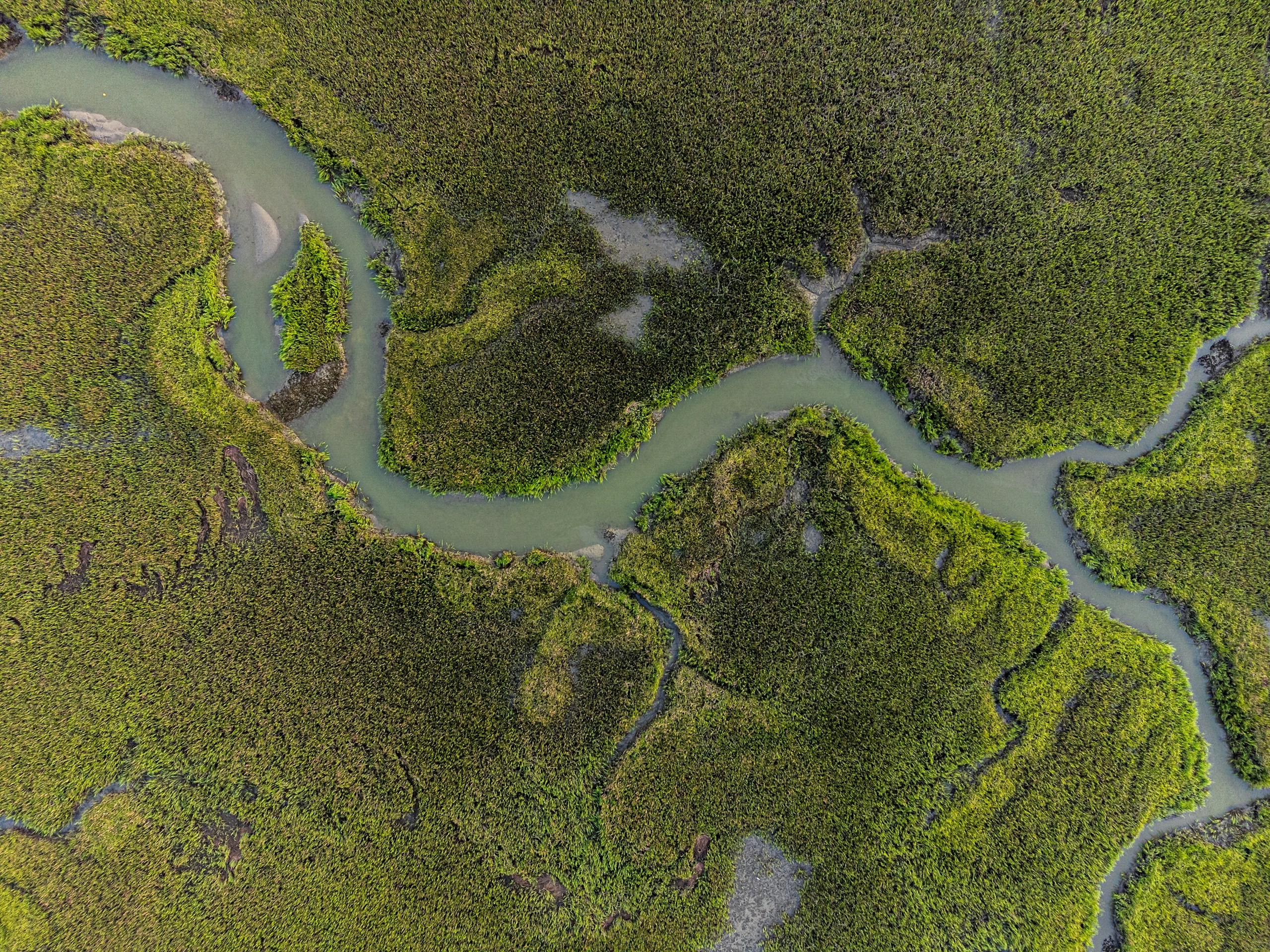
Water Resources
Water-resource programmes require integrated intelligence across terrain, hydrology, irrigation networks, reservoirs and command areas. Our geospatial solutions combine UAV surveys, DEM/DTM, remote sensing, hydrological analysis, water-asset mapping, GIS/WebGIS and spatial analytics for planning, monitoring and resource management.
Trusted by
The problem
Water models are only as reliable as the data beneath them.
Water-resource planning brings together datasets captured at different times, by different teams and for different purposes. Terrain, bathymetry, land use, hydrology and existing infrastructure may each use different levels of detail, reference systems and survey dates. When these datasets are combined without proper reconciliation, small inconsistencies can propagate through hydraulic and flood models, affecting water levels, inundation extents and downstream decisions.
The challenge becomes greater as rivers shift, reservoirs change, drainage patterns evolve and land use develops. Without consistent references, documented provenance and data that can be updated over time, even a sophisticated model becomes difficult to validate, maintain or defend.
The issue is not the absence of data. It is whether the data works together.

In detail
When above-water and underwater data have to agree
Topographic elevation data can define the land surface around rivers, reservoirs and floodplains, but the submerged channel or reservoir bed requires bathymetric survey using sonar-based depth measurements. These above-water and underwater surfaces must be referenced to the same vertical datum and correctly connected at the water interface. Even a systematic vertical offset can affect channel geometry, storage estimates, simulated water levels and flood extents.
Land use adds another variable because the landscape changes. New development, changing vegetation and expanding impervious surfaces can alter runoff and drainage patterns, making current land-use data important for present-day hydrological and hydraulic modelling.
The objective is not simply to collect more data, but to ensure that every dataset represents the same physical water system and can be used together with confidence.
The panovis advantage
What a water authority actually asks for
Command Area Mapping
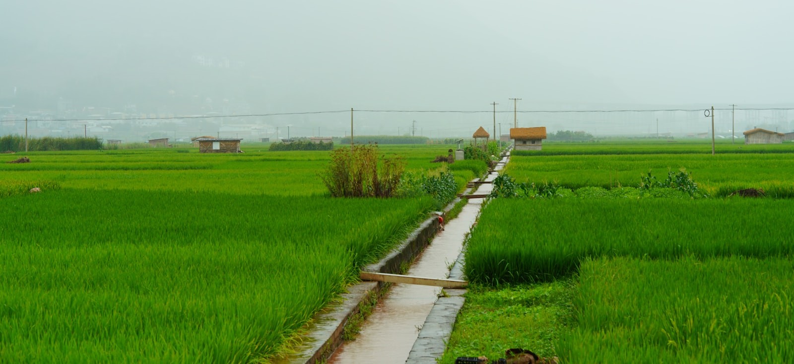
Map terrain, canals, command areas and water spread to support irrigation planning and water allocation.
Bathymetry & Reservoir Survey
Survey channel and reservoir beds and integrate bathymetry with terrain against a common vertical reference.
Flood Inundation Modelling
Model flood levels, depths and inundation extents to support risk assessment, planning and mitigation.
Canal Condition Monitoring
Identify cracks, slope variations and seepage indicators to assess canal condition and prioritise maintenance.
Dam & Headworks Inspection
Survey dams, spillways and diversion structures to assess condition and identify areas requiring attention using close range aerial survey.
Crop & Water Use Mapping
Map cropping patterns and crop conditions to assess irrigation demand and support water-use planning.

Water and irrigation work, in numbers
400+
Projects Delivered
400+
Specialists & Experts
5
Global Locations
400,000+ha
Water Resources & Irrigation Intelligence
20,000+sq km
Aerial & Remote Sensing Intelligence
What we bring
Solutions we bring to water resources
From capture through modelling to a handover the authority can maintain.
Layer 1
Capture
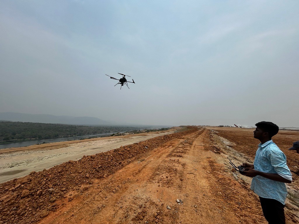
Getting survey-grade data off the ground, from the air and from orbit.
- Aerial
- UAV
- LiDAR
- Remote Sensing
- Photogrammetry
Applications
Applications in water resources
Command areas, canals and dam structures. The detail pages sit on the GarudaUAV site, from the practice that became Panovis.
Let’s solve the spatial challenge
Tell us what you’re trying to build, map, monitor or manage. From large-scale surveys and geospatial intelligence to digital twins, asset monitoring and enterprise integration, our team can help define the right data, technology and delivery approach for your requirement.
- EnquiriesPanovis@trentar.com
- Registered officeMumbai, India