



Carbon
Forest carbon baselines
Canopy height and biomass measured to a re-measurable method.
Forest carbon, flood resilience, rehabilitation monitoring. Plus a documented standard for how we run our own operations.
Our approach
We are a measurement company, so our sustainability position starts with what we can measure and defend rather than with a pledge.
That means the environmental work we deliver for clients is documented to a methodology a funding body will review, and our own operational footprint is tracked on the same basis.

Client work
Canopy height and biomass measured to a re-measurable method.
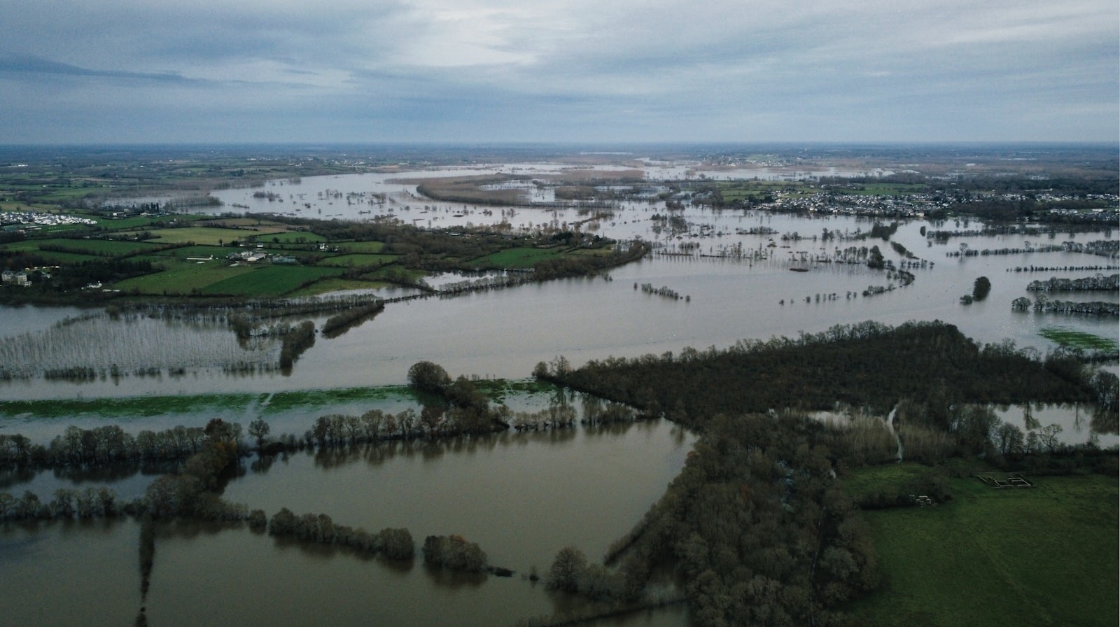
Basin models that let an authority plan rather than report.

Disturbance and recovery tracked against the permitted boundary.
Funding criteria
Written before capture, not reconstructed at reporting time.
Fixed reference so the second survey is comparable to the first.
Confidence intervals given, not implied by a rounded number.
Our own operations
Fuel, flights and travel recorded per project rather than estimated annually.
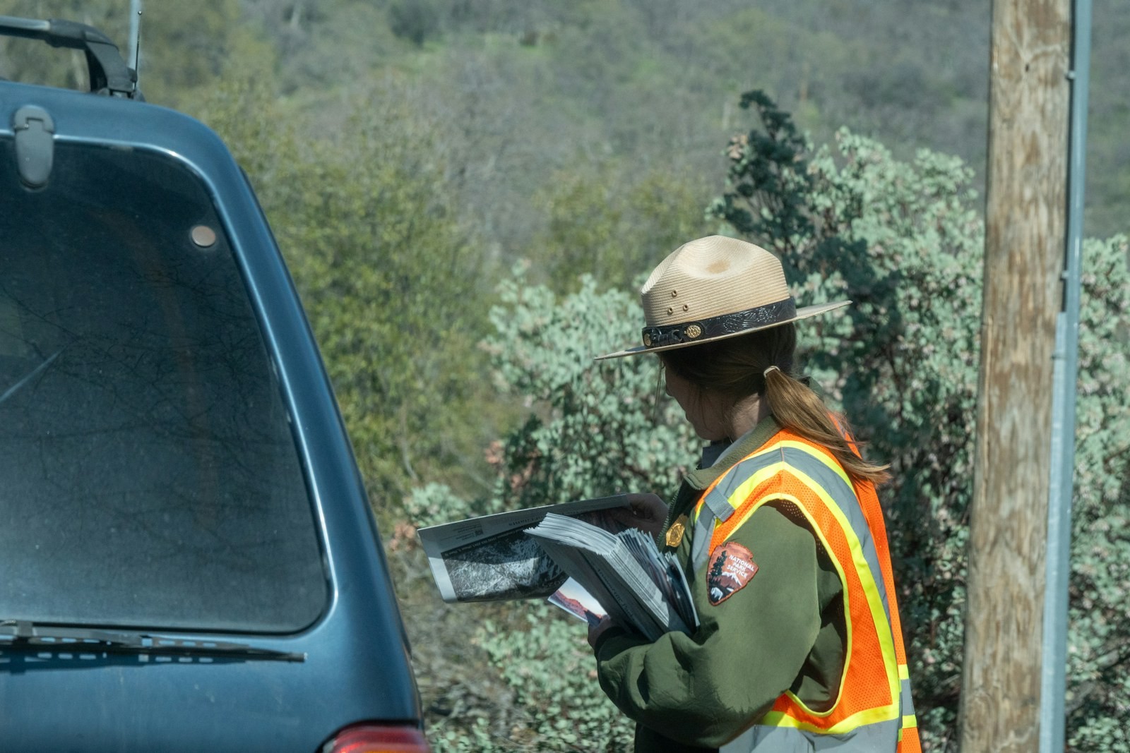
Mission planning that minimises repeat flights, and satellite where flying adds nothing.
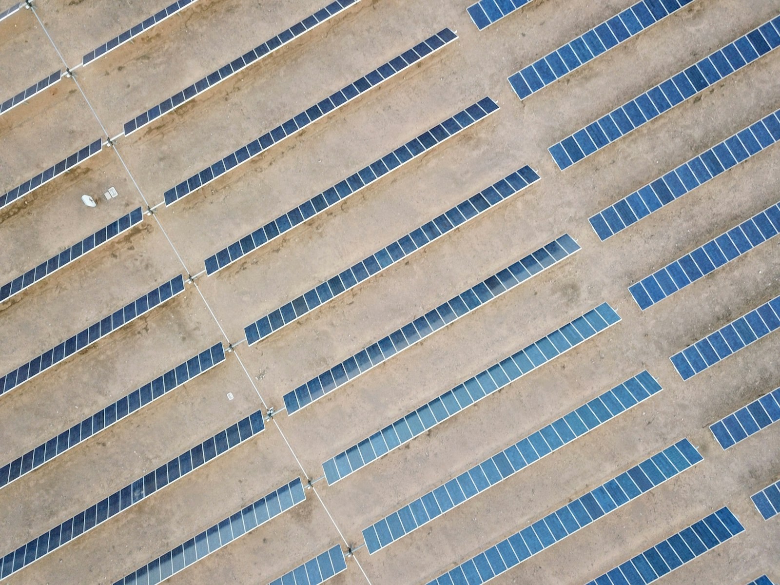
An annual figure with the method attached, published rather than filed.

We work largely for public bodies, which sets the standard for procurement conduct, conflict-of-interest handling and record keeping. Those rules apply to private engagements as well.
Where a project raises a question we cannot answer inside our own governance, we say so before bidding rather than after winning.
Environmental statement
Operational footprint and method.
Code of conduct
Business ethics and procurement conduct.
Tell us what you’re trying to build, map, monitor or manage. From large-scale surveys and geospatial intelligence to digital twins, asset monitoring and enterprise integration, our team can help define the right data, technology and delivery approach for your requirement.