

Engineering Consulting
Engineer with evidence. Decide with confidence. Feasibility studies, engineering analysis and project preparation built on defensible spatial evidence—giving decision-makers the clarity to assess what can be built, where it can be built and what it will take to deliver.
The Panovis advantage
Feasibility work fails on evidence, not on engineering.
A technically sound concept can still fail appraisal when the evidence behind it is incomplete, inconsistent or difficult to defend. Land constraints, route conditions, hydrology, quantities and acquisition requirements must stand up to scrutiny. We build the spatial evidence, engineering basis and supporting documentation together—so every critical conclusion can be traced back to something measurable, documented and defensible.

The Panovis Logic
An appraisal asks the question backwards.
An approving authority starts with the conclusion and works backwards to test its basis. That means every major claim needs a clear chain of evidence—from the survey and spatial baseline to the engineering analysis, assumptions, alternatives and quantities. Our approach makes that chain visible, consistent and reviewable, while clearly identifying where the available evidence supports the claim—and where further investigation is required.

What we cover
What an appraisal reads, and what it rejects
Feasibility Studies
Establish the spatial, technical and physical basis required to assess project viability, constraints, alternatives and implementation requirements.
Alignment & Route Design
Compare corridor and alignment options on a consistent spatial and engineering basis, making trade-offs visible before design decisions are committed.
Detailed Project Reports
Build appraisal-ready project documentation with the evidence, engineering basis, assumptions and supporting analysis required for informed funding and implementation decisions.
Land Acquisition Support
Identify affected parcels, acquisition extent and spatial requirements in a structured format aligned with revenue and acquisition processes.
Hydrology & Drainage
Analyse catchments, flow paths and drainage conditions using measured terrain and spatial evidence rather than assumptions alone.
Quantities & Estimates
Derive earthwork and structural quantities from the survey and engineering basis, with assumptions clearly documented and traceable.
What the studies supported.
400+
Projects Delivered
400+
Specialists & Experts
5
Global Locations
170,000+km
Highway & Transportation Digital Infrastructure
400,000+ha
Water Resources & Irrigation Intelligence
7,000+km
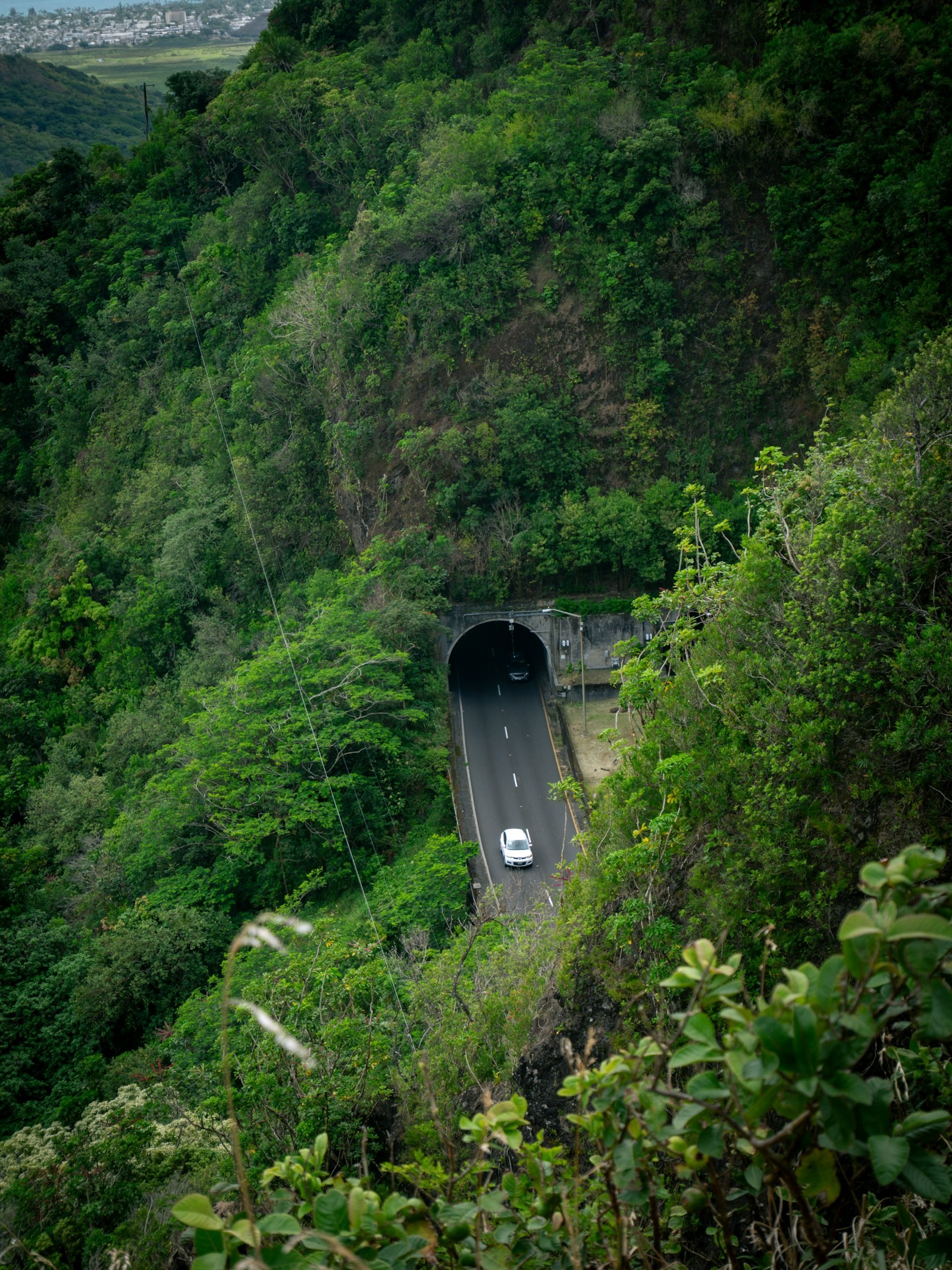
Railway Corridor Planning, DPR & Tunnel Engineering
Where it applies
Where engineering decisions need evidence that stands up

Infrastructure
Infrastructure projects generate complex spatial, engineering, asset and field data across their lifecycle. Our integrated geospatial intelligence combines UAV surveys, GIS/WebGIS, LiDAR, photogrammetry, asset mapping, digital twins and spatial analytics to enable informed planning, monitoring and lifecycle management.
Explore sector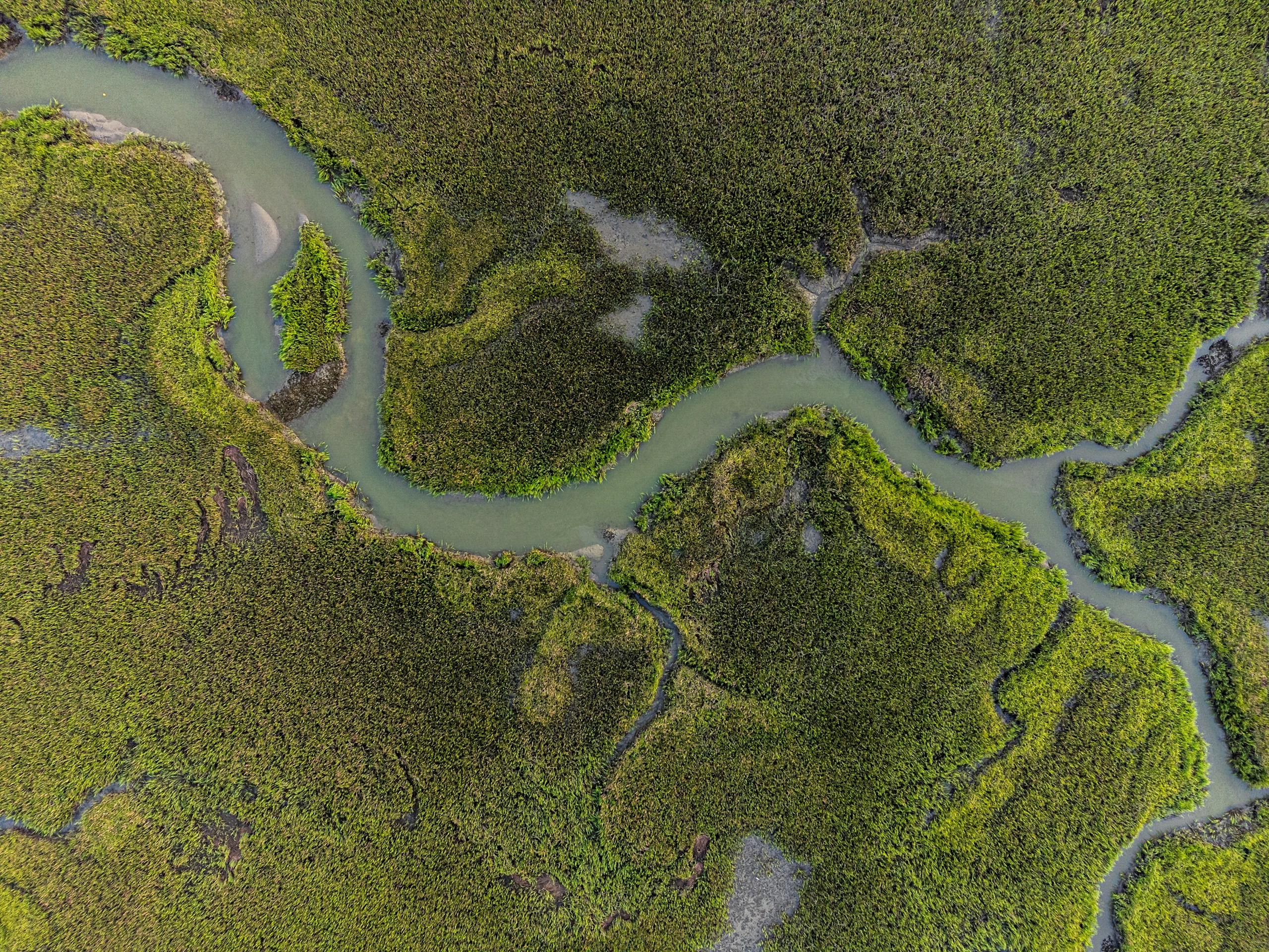
Water Resources
Water-resource programmes require integrated intelligence across terrain, hydrology, irrigation networks, reservoirs and command areas. Our geospatial solutions combine UAV surveys, DEM/DTM, remote sensing, hydrological analysis, water-asset mapping, GIS/WebGIS and spatial analytics for planning, monitoring and resource management.
Explore sector
Environment, Forest & Climate Change
Environmental programmes need reliable spatial data to monitor forests, biodiversity, land cover and climate risks. Our solutions combine UAVs, remote sensing, LiDAR, GIS and spatial analytics for monitoring and sustainable resource management.
Explore sector
Let’s solve the spatial challenge
Tell us what you’re trying to build, map, monitor or manage. From large-scale surveys and geospatial intelligence to digital twins, asset monitoring and enterprise integration, our team can help define the right data, technology and delivery approach for your requirement.
- EnquiriesPanovis@trentar.com
- Registered officeMumbai, India