

Statutory Reports & GIS Consulting
Turn fragmented data into trusted evidence. End-to-end GIS consulting and statutory reporting that brings spatial, sensory, material and population data together—creating a reliable evidence base for compliance, planning, governance and informed decision-making.
The Panovis advantage
The data exists. Finding it, trusting it and joining it is the problem.
Organisations rarely lack data—they lack one trusted version of it. Records sit across departments, formats, coordinate systems and generations of projects, making even a simple question difficult to answer with confidence. We bring fragmented spatial and non-spatial information together, reconcile competing records and establish a structured evidence base that organisations can actually use, maintain and defend.

The Panovis Logic
A data model has to survive reality.
Real-world information changes continuously. Parcels split, assets move, boundaries change, records are corrected and new surveys replace old evidence. A resilient GIS framework must preserve what changed, when it changed, where it came from and why it can be trusted. Our approach combines structured data modelling, documented lineage, quality assurance and controlled migration so that the system remains useful as reality evolves—not just when the project is delivered.

What we cover
The unglamorous work that keeps a register usable
Data Model & Schema
Build structured spatial schemas that preserve relationships, attributes, history and lineage—creating a foundation that can evolve without losing what came before.
Migration & Consolidation
Reconcile legacy datasets, departmental records and disparate formats into a consistent, governed information environment.
Quality Assurance
Validate topology, attributes, completeness, consistency and currency so that every update strengthens the register rather than introducing another uncertainty.
Enterprise GIS
Configure enterprise geospatial environments around the roles, workflows, governance requirements and operational realities of the organisation.
Web GIS & Access
Deliver maps, services and role-based access that allow departments and stakeholders to discover, analyse and use trusted spatial information without unnecessary complexity.
Capacity Building
Transfer practical knowledge, workflows and documentation to the teams responsible for maintaining the system and keeping its information current.

What we have put into systems.
400+
Projects Delivered
400+
Specialists & Experts
5
Global Locations
100,000+sq km
Urban Geospatial Intelligence & Digital Mapping
400,000+ha
Water Resources & Irrigation Intelligence
5,000+sq km
Forest Intelligence & Carbon Monitoring
Where it applies
Where trusted spatial records become institutional intelligence

Urban Development & Land Governance
Urban authorities need connected spatial, property and infrastructure data for effective planning and governance. Our solutions combine UAV mapping, cadastral GIS, 3D city models, WebGIS and spatial analytics for informed decision-making.
Explore sector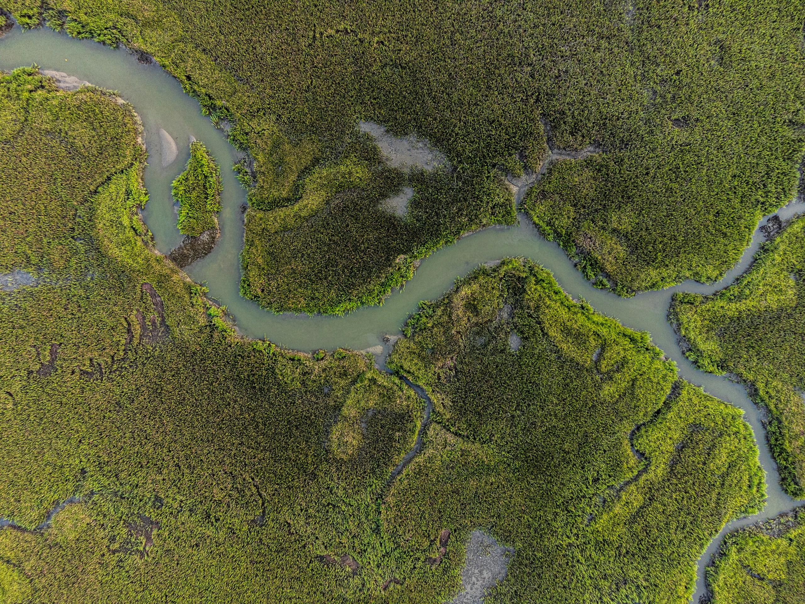
Water Resources
Water-resource programmes require integrated intelligence across terrain, hydrology, irrigation networks, reservoirs and command areas. Our geospatial solutions combine UAV surveys, DEM/DTM, remote sensing, hydrological analysis, water-asset mapping, GIS/WebGIS and spatial analytics for planning, monitoring and resource management.
Explore sector
Environment, Forest & Climate Change
Environmental programmes need reliable spatial data to monitor forests, biodiversity, land cover and climate risks. Our solutions combine UAVs, remote sensing, LiDAR, GIS and spatial analytics for monitoring and sustainable resource management.
Explore sector
Infrastructure
Infrastructure projects generate complex spatial, engineering, asset and field data across their lifecycle. Our integrated geospatial intelligence combines UAV surveys, GIS/WebGIS, LiDAR, photogrammetry, asset mapping, digital twins and spatial analytics to enable informed planning, monitoring and lifecycle management.
Explore sector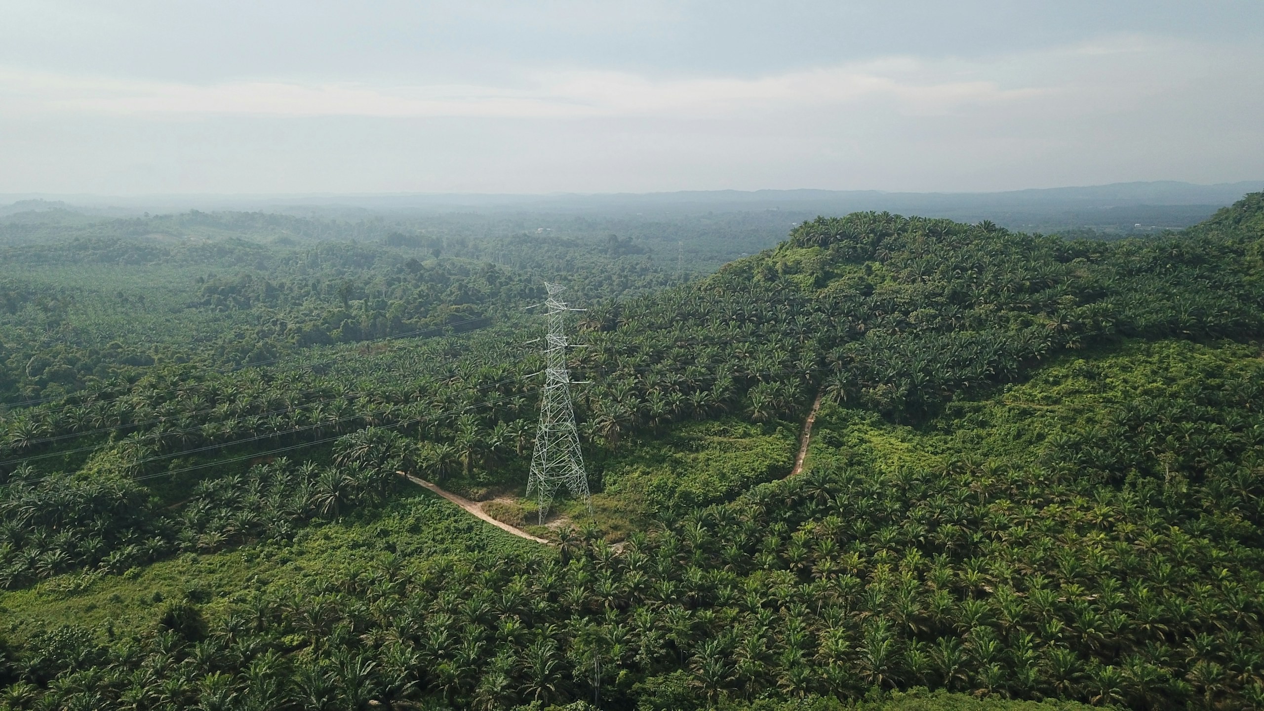
Utility & Energy
Distributed utility networks require precise asset visibility, network intelligence and timely operational insight. Our connected utility intelligence integrates Utility GIS, network mapping, IoT, Field GIS, asset tracking, network analytics, EAM, WebGIS and operational dashboards to connect field operations with enterprise decision-making.
Explore sector
Let’s solve the spatial challenge
Tell us what you’re trying to build, map, monitor or manage. From large-scale surveys and geospatial intelligence to digital twins, asset monitoring and enterprise integration, our team can help define the right data, technology and delivery approach for your requirement.
- EnquiriesPanovis@trentar.com
- Registered officeMumbai, India