

Sx Applications
A powerful IoT application platform that brings connected devices, real-time data, analytics, visualization and operations together in one intelligent ecosystem.
- Layers
- Capture · Visualize · Analyze · Integrate
What it does
From connected devices to actionable intelligence
Sx Applications connects devices, sensors, gateways and enterprise systems to bring data together in real time.
It transforms raw device data into structured information, analytics and visual insights, while enabling teams to monitor events, manage configurations and act from a single platform.
The underlying solution supports device integration, multiple connectivity methods, structured and unstructured data collection, and data transformation for analytics and visualization.

In detail
One platform. Connected intelligence across operations.
Sx Applications brings together the essential building blocks of connected operations:
- Device & Asset Connectivity: connect meters, sensors, gateways, PLCs and other field devices.
- Real-Time Data: collect and access live operational data from connected assets.
- Data Processing & Analytics: transform incoming data into structured time-series information for analysis, pattern identification and decision-making.
- Visualization & Monitoring: build configurable dashboards using charts, gauges, maps, tables and other widgets.
- Alerts & Events: monitor operational events and alarms and surface critical information to the right stakeholders.
- Device Management & Control: manage devices individually or at scale, configure parameters and execute two-way commands.
- Enterprise Integration: connect with existing enterprise and operational systems through data exchange and open APIs.

Core modules
What is inside
Hardware Integration
Connect meters, sensors, gateways and industrial PLCs.
Connectivity
Support multiple communication methods and flexible message formats.
Device Management
Register, authenticate, group and manage connected devices and digital twins.
Data Collection
Reliably collect structured and unstructured data from connected sources.
Data Processing & Analytics
Transform data into analytics-ready time-series information.
Dashboards & Visualization
Create configurable dashboards with real-time and historical views.
Configuration & Command Execution
Manage device configurations, processing parameters and two-way commands.
Alerts & Events
Monitor alarms, events and operational conditions.
Field & Crew Operations
Connect alerts with field teams through mobile workflows, issue lists and progress monitoring.
Screens and outputs
What the team sees.
Application views from live deployments. Client-specific data is not shown; screenshots follow once the deployments clear their disclosure review.
Field view
The asset in front of you, its record, and what has to be checked today.
Review queue
Submissions waiting for a second pair of eyes, ranked by age.
Report builder
The month assembled once, then reissued in each format without anyone retyping a figure.

What the field teams have recorded.
400+
Projects Delivered
400+
Specialists & Experts
5
Global Locations
160,000+ckm
Power Grid Intelligence & Asset Inspection
170,000+km
Highway & Transportation Digital Infrastructure
100,000+sq km
Urban Geospatial Intelligence & Digital Mapping
400,000+ha
Water Resources & Irrigation Intelligence
20,000+sq km
Aerial & Remote Sensing Intelligence
Where it is used
Utility & Energy
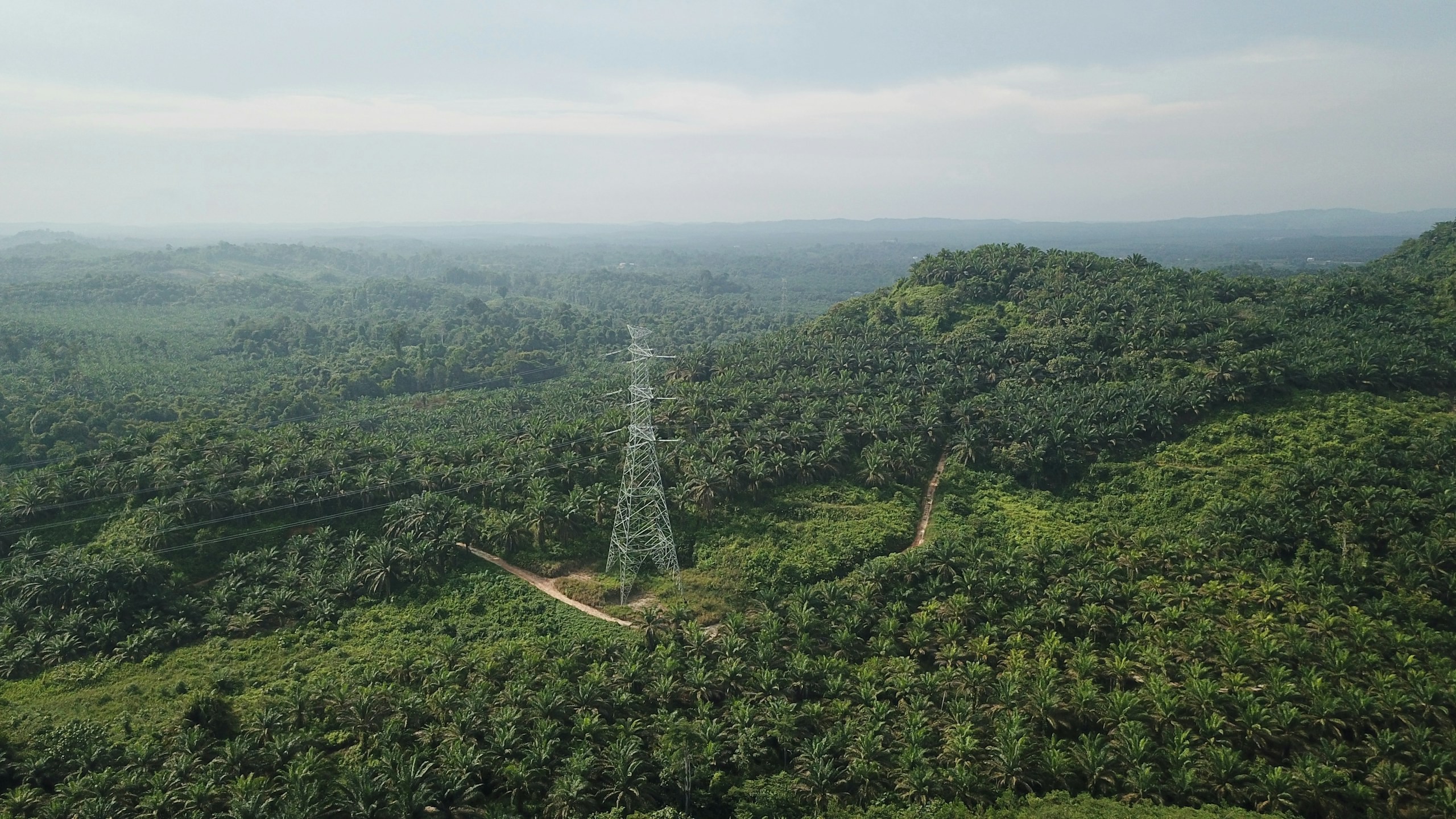
Distributed utility networks require precise asset visibility, network intelligence and timely operational insight. Our connected utility intelligence integrates Utility GIS, network mapping, IoT, Field GIS, asset tracking, network analytics, EAM, WebGIS and operational dashboards to connect field operations with enterprise decision-making.
Explore sector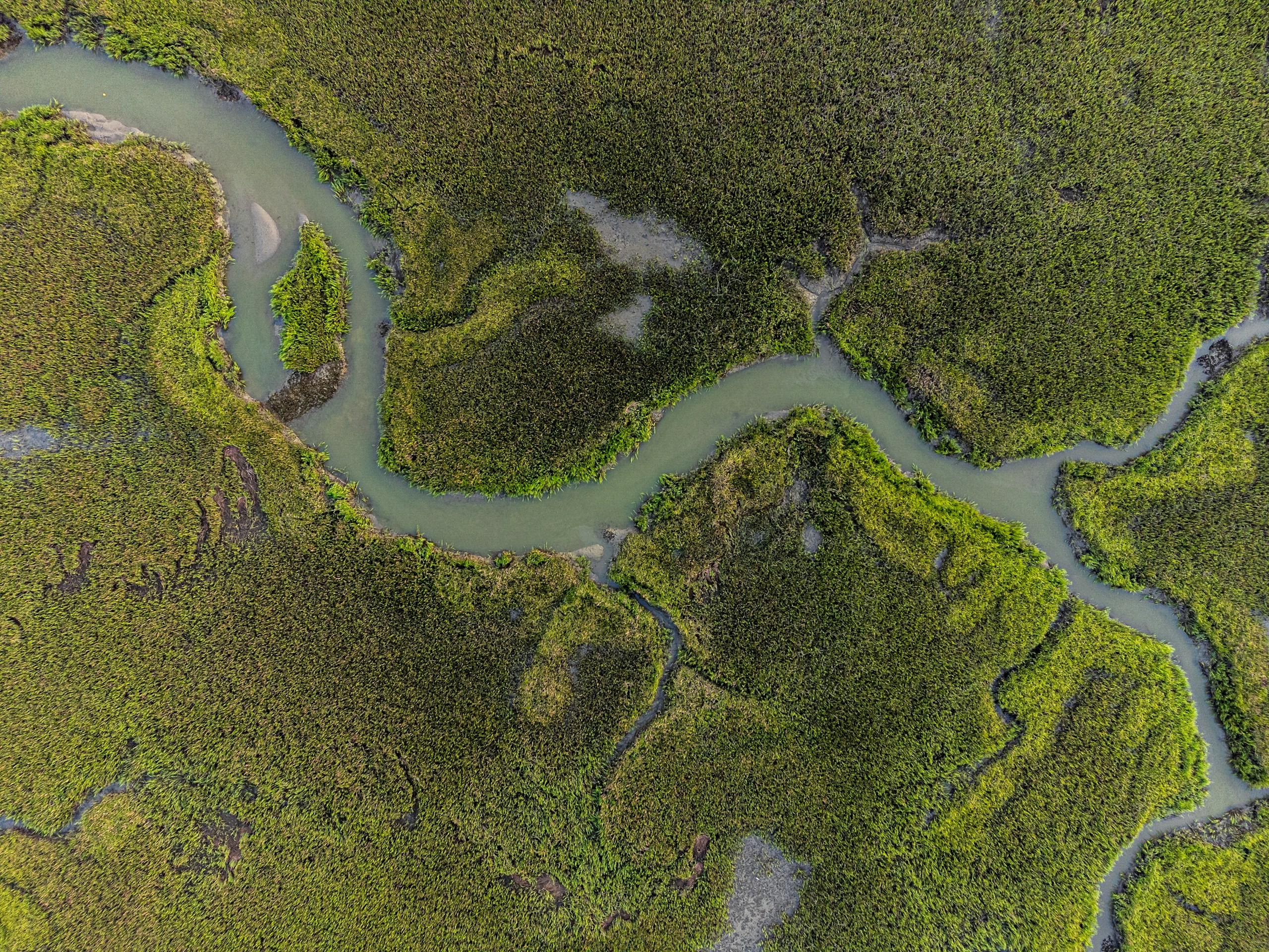
Water Resources
Water-resource programmes require integrated intelligence across terrain, hydrology, irrigation networks, reservoirs and command areas. Our geospatial solutions combine UAV surveys, DEM/DTM, remote sensing, hydrological analysis, water-asset mapping, GIS/WebGIS and spatial analytics for planning, monitoring and resource management.
Explore sector
Urban Development & Land Governance
Urban authorities need connected spatial, property and infrastructure data for effective planning and governance. Our solutions combine UAV mapping, cadastral GIS, 3D city models, WebGIS and spatial analytics for informed decision-making.
Explore sector
Solutions it supports
Layer 1
Capture
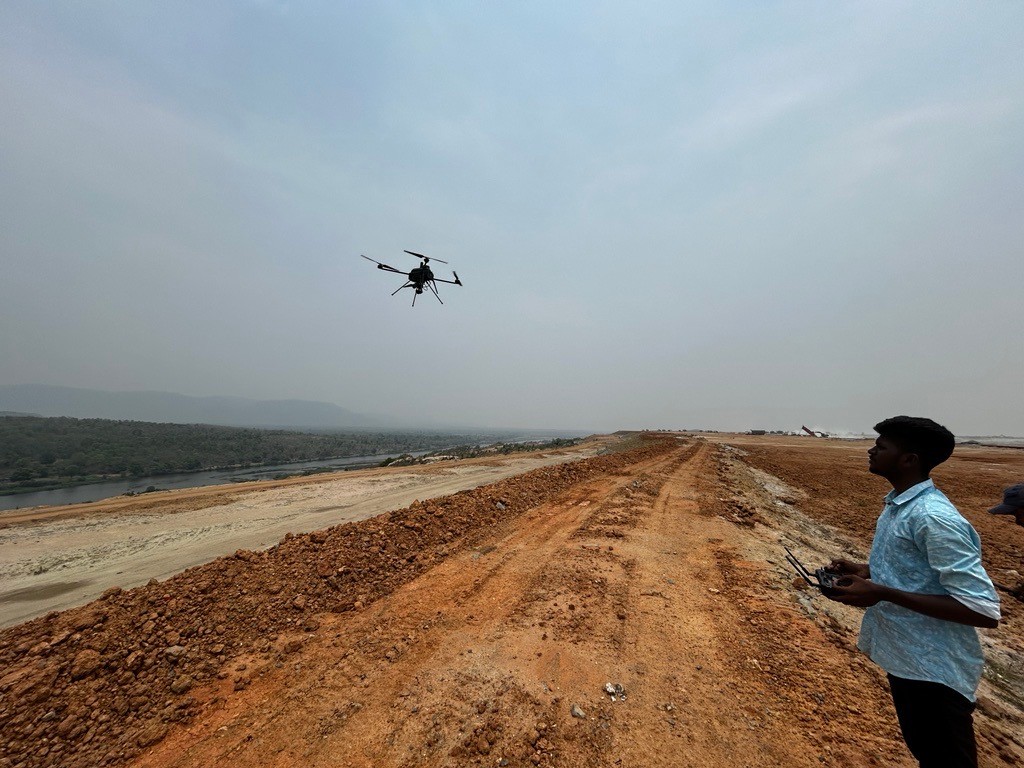
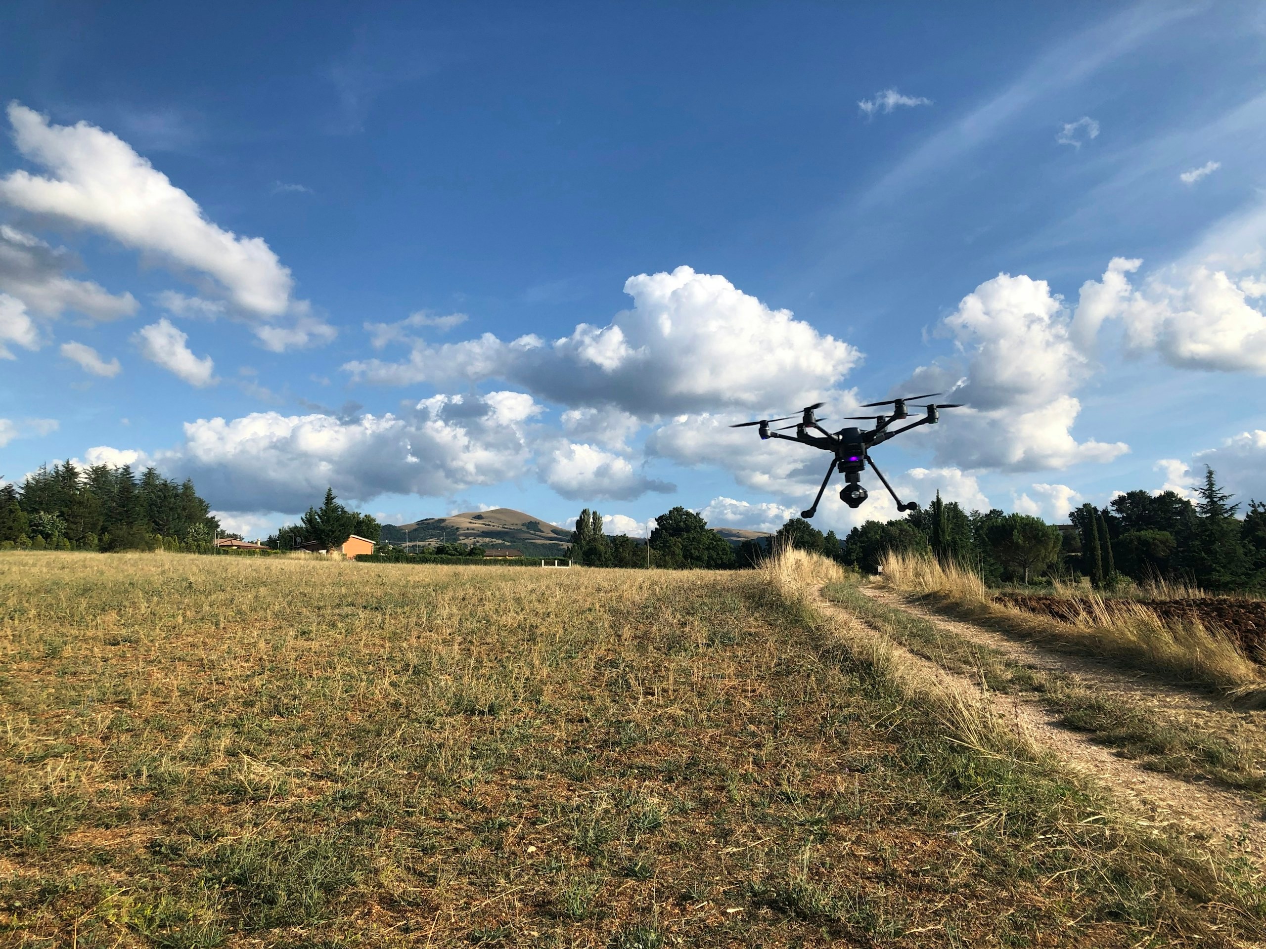
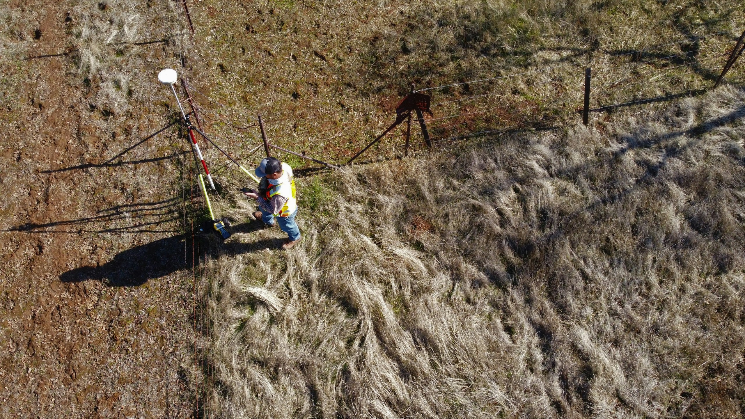
Getting survey-grade data off the ground, from the air and from orbit.
- Aerial
- UAV
- LiDAR
- Remote Sensing
- Photogrammetry
Let’s solve the spatial challenge
Tell us what you’re trying to build, map, monitor or manage. From large-scale surveys and geospatial intelligence to digital twins, asset monitoring and enterprise integration, our team can help define the right data, technology and delivery approach for your requirement.
- EnquiriesPanovis@trentar.com
- Registered officeMumbai, India