

Software we build, run and fly with.
TASK for the capture chain, Sx Applications for the field. Both maintained by the teams that use them.
Why we build our own
These are not products sold alongside the service. They exist because the delivery chain kept breaking at the seams between other people’s tools, and because the team that flies is the team that has to live with the processing.
What that means for a client is narrow but real: the accuracy target set in the mission plan is the one the deliverable reports against, and a question about a figure can be traced back to the flight that produced it.
Why our own
Because the gaps between tools are where projects fail.
Off-the-shelf covers each step well and the joins badly. The processing step that starts with copying files off a card is not a tooling preference, it is where the schedule and the audit trail break.
We build the two pieces that had no good answer and integrate the rest rather than replacing it.
The platforms
TASK
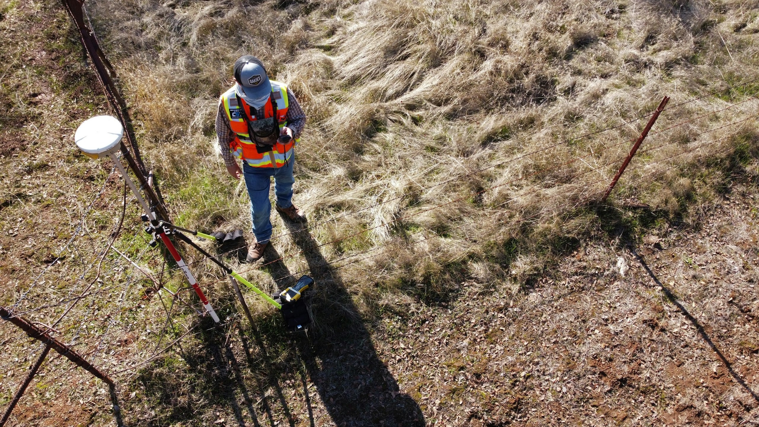
Trentar Aerial Solution Kit: aerial data to actionable insight. A unified platform for planning, capturing, processing and analysing aerial data across critical infrastructure and asset-monitoring use cases.
See the platform
Sx Applications
A powerful IoT application platform that brings connected devices, real-time data, analytics, visualization and operations together in one intelligent ecosystem.
See the platform
Where they sit
Platforms against the four layers.
Layer 1
Capture
Getting survey-grade data off the ground, from the air and from orbit.
- Aerial
- UAV
- LiDAR
- Remote Sensing
- Photogrammetry
- Sx Applications
- TASK
Layer 2
Visualize
Making the asset legible as a model you can interrogate, not just a map.
- GIS
- 2D/3D Mapping
- 3D Modelling
- Digital Twins
- Sx Applications
- TASK
Layer 3
Analyze
Applying GIS, analytics and domain intelligence to identify patterns, assess conditions and monitor change.
- Spatial Analytics
- Geospatial Intelligence
- Decision Support
- Monitoring
- Sx Applications
- TASK
Layer 4
Integrate
Putting the result into the systems and field operations you already run.
- IoT
- Enterprise GIS
- APIs
- System Integration
- Asset Intelligence
- Sx Applications
- TASK
Capabilities
What both platforms share.
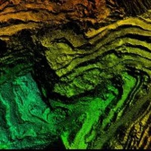
Documented pipelines
Processing that can be repeated and audited, not a workstation someone owns.

Field to office
One model from the crew in the field to the report on the desk.
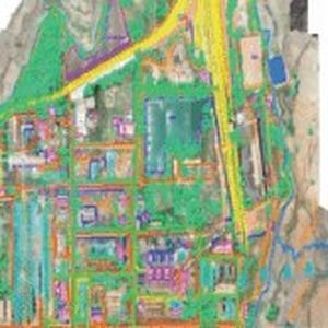
Open interfaces
Built to feed your systems rather than to hold your data.
Let’s solve the spatial challenge
Tell us what you’re trying to build, map, monitor or manage. From large-scale surveys and geospatial intelligence to digital twins, asset monitoring and enterprise integration, our team can help define the right data, technology and delivery approach for your requirement.
- EnquiriesPanovis@trentar.com
- Registered officeMumbai, India