

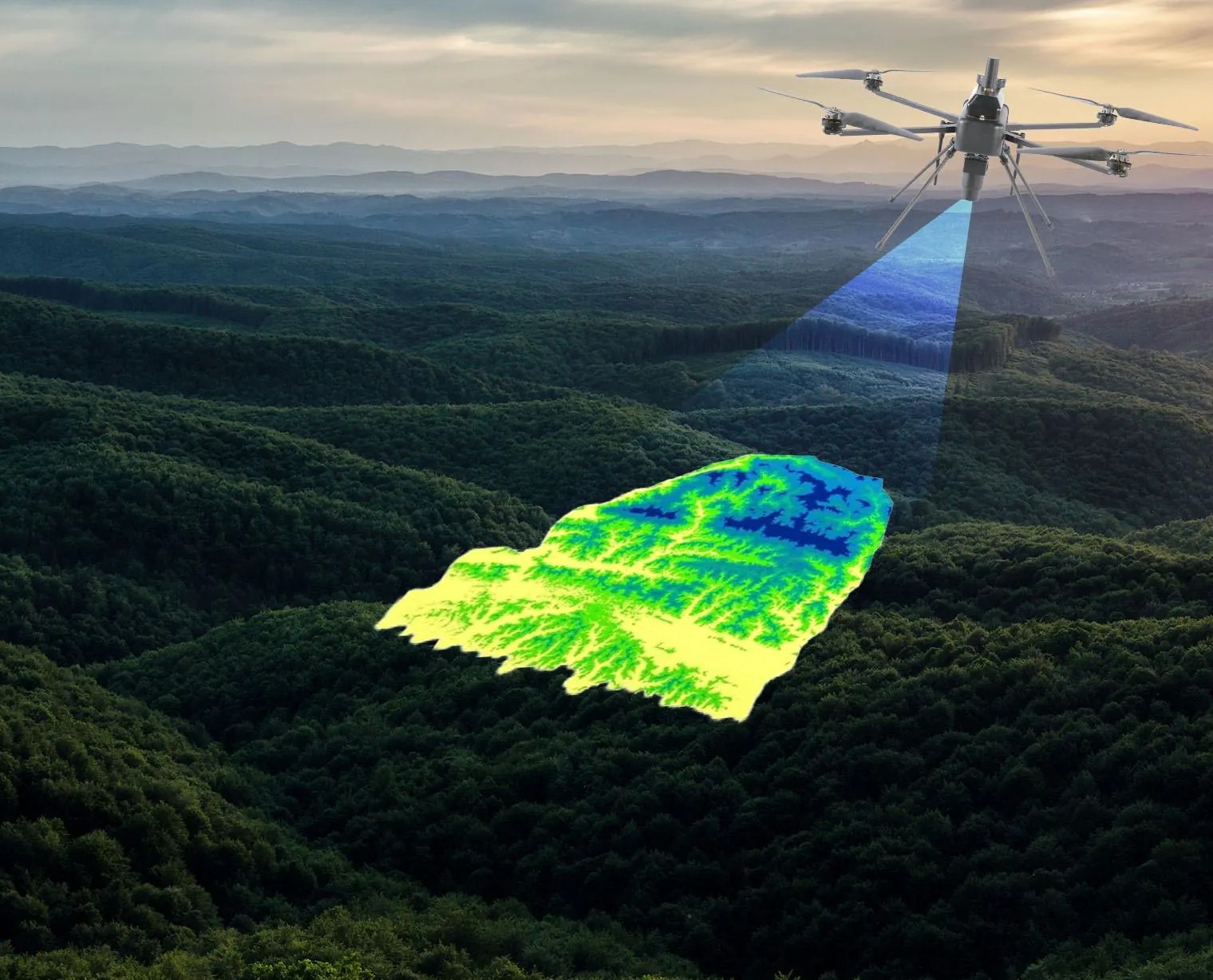
Geospatial intelligence across industries, environments and dimensions.
Each brings its own regulators, its own accuracy thresholds and its own procurement rules. We have delivered inside all of them.
Beyond sectors. Across the geospatial ecosystem.
The world does not operate in fixed verticals, and neither does geospatial technology. The same geospatial foundation can inform how we plan a city, manage a network, monitor natural resources, develop infrastructure or understand a changing environment.
What changes is the question, the scale, the data, the accuracy and the decision that follows.
We bring these capabilities together across the geospatial ecosystem — Capture. Visualize. Analyze. Integrate. — creating a connected foundation for decisions across industries and the physical world.
Where we work

Infrastructure
Infrastructure projects generate complex spatial, engineering, asset and field data across their lifecycle. Our integrated geospatial intelligence combines UAV surveys, GIS/WebGIS, LiDAR, photogrammetry, asset mapping, digital twins and spatial analytics to enable informed planning, monitoring and lifecycle management.
Explore sector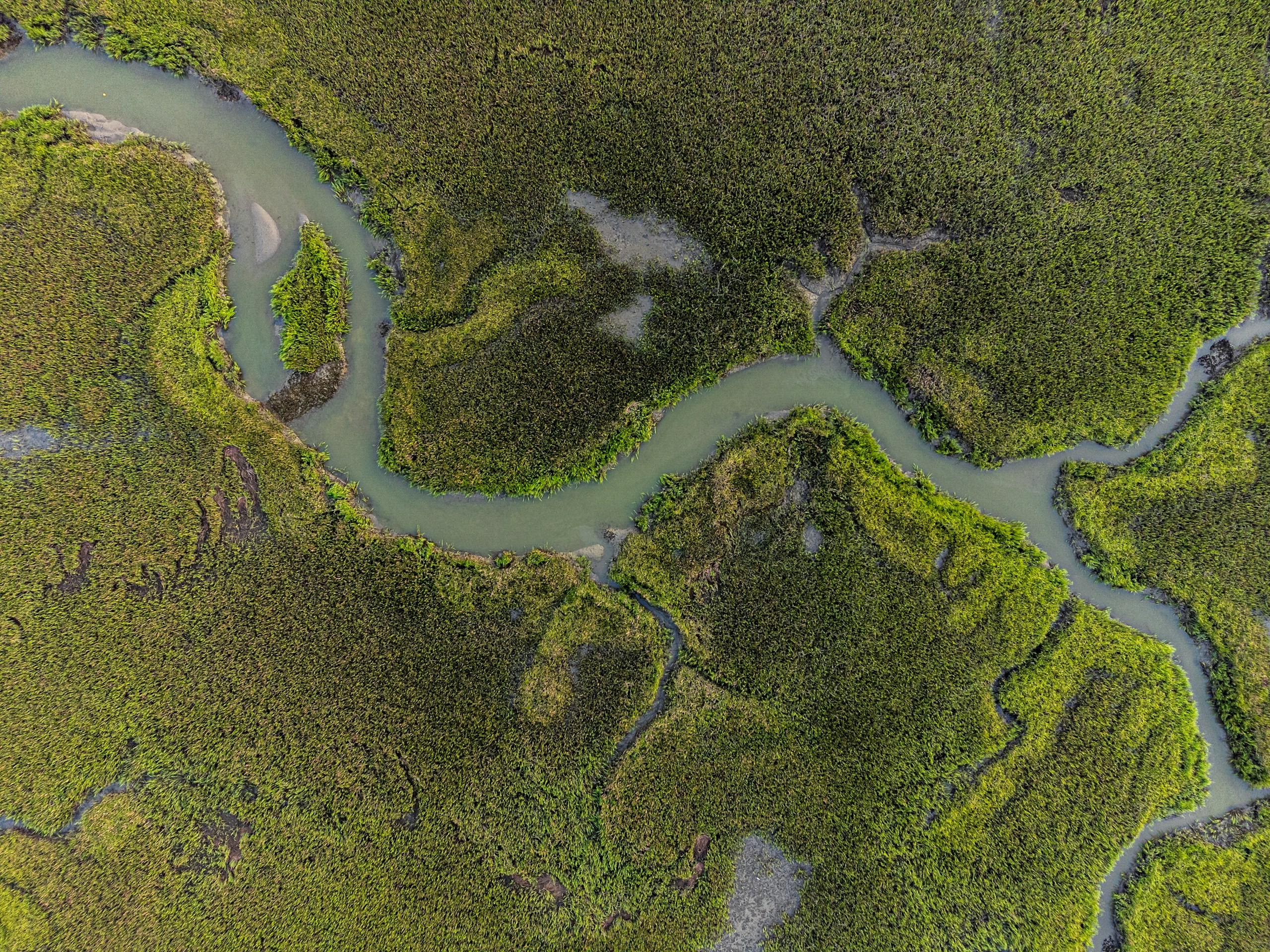
Water Resources
Water-resource programmes require integrated intelligence across terrain, hydrology, irrigation networks, reservoirs and command areas. Our geospatial solutions combine UAV surveys, DEM/DTM, remote sensing, hydrological analysis, water-asset mapping, GIS/WebGIS and spatial analytics for planning, monitoring and resource management.
Explore sector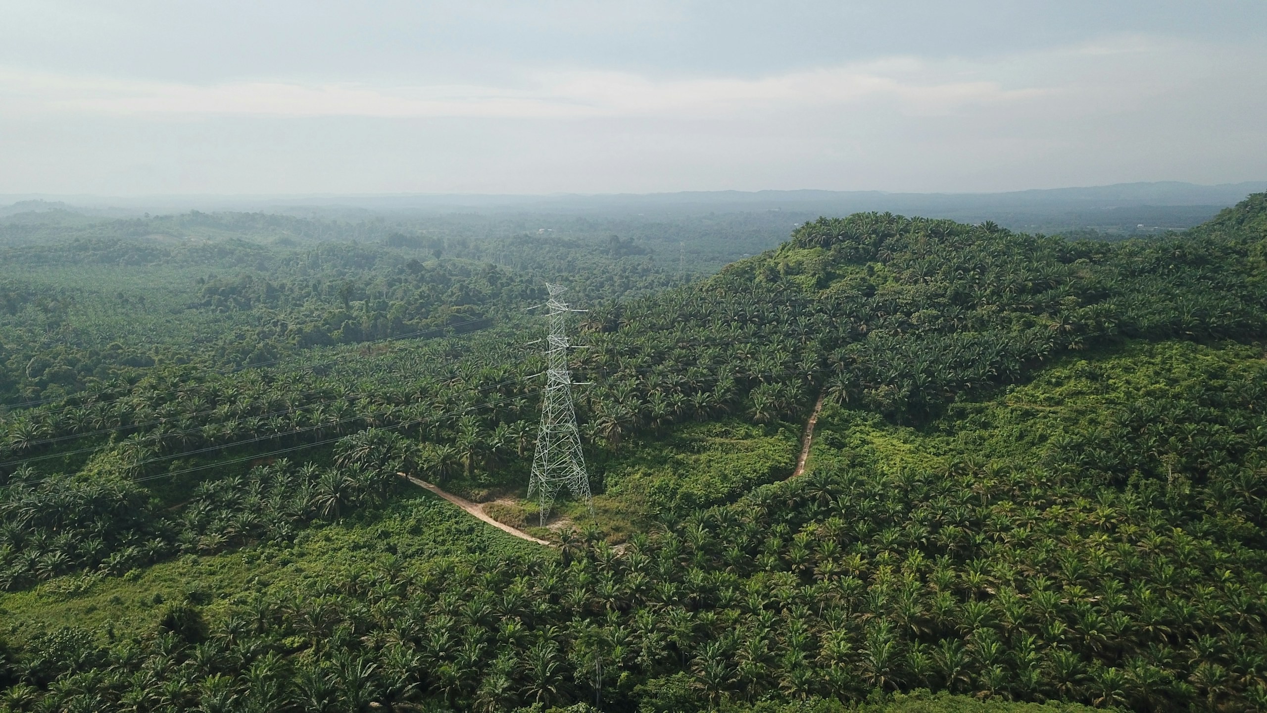
Utility & Energy
Distributed utility networks require precise asset visibility, network intelligence and timely operational insight. Our connected utility intelligence integrates Utility GIS, network mapping, IoT, Field GIS, asset tracking, network analytics, EAM, WebGIS and operational dashboards to connect field operations with enterprise decision-making.
Explore sector
Environment, Forest & Climate Change
Environmental programmes need reliable spatial data to monitor forests, biodiversity, land cover and climate risks. Our solutions combine UAVs, remote sensing, LiDAR, GIS and spatial analytics for monitoring and sustainable resource management.
Explore sector
Urban Development & Land Governance
Urban authorities need connected spatial, property and infrastructure data for effective planning and governance. Our solutions combine UAV mapping, cadastral GIS, 3D city models, WebGIS and spatial analytics for informed decision-making.
Explore sector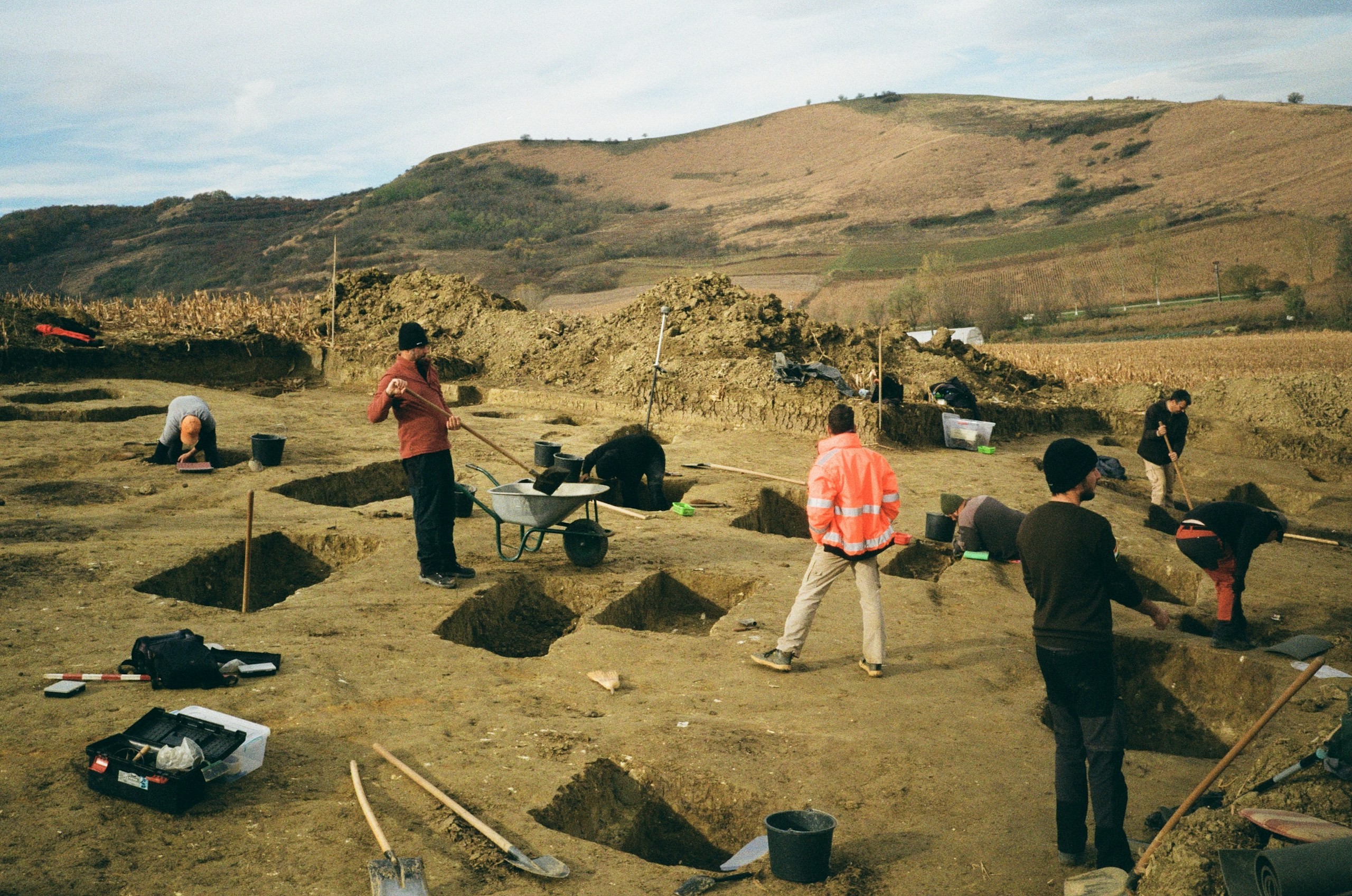
Archaeology & Heritage
Archaeological and heritage assets require precise documentation, digital preservation and condition monitoring with minimal physical intervention. Our digital heritage solutions use UAV photogrammetry, LiDAR, 3D reconstruction, GIS, digital twins and change monitoring to create accurate, durable digital records for conservation and interpretation.
Explore sector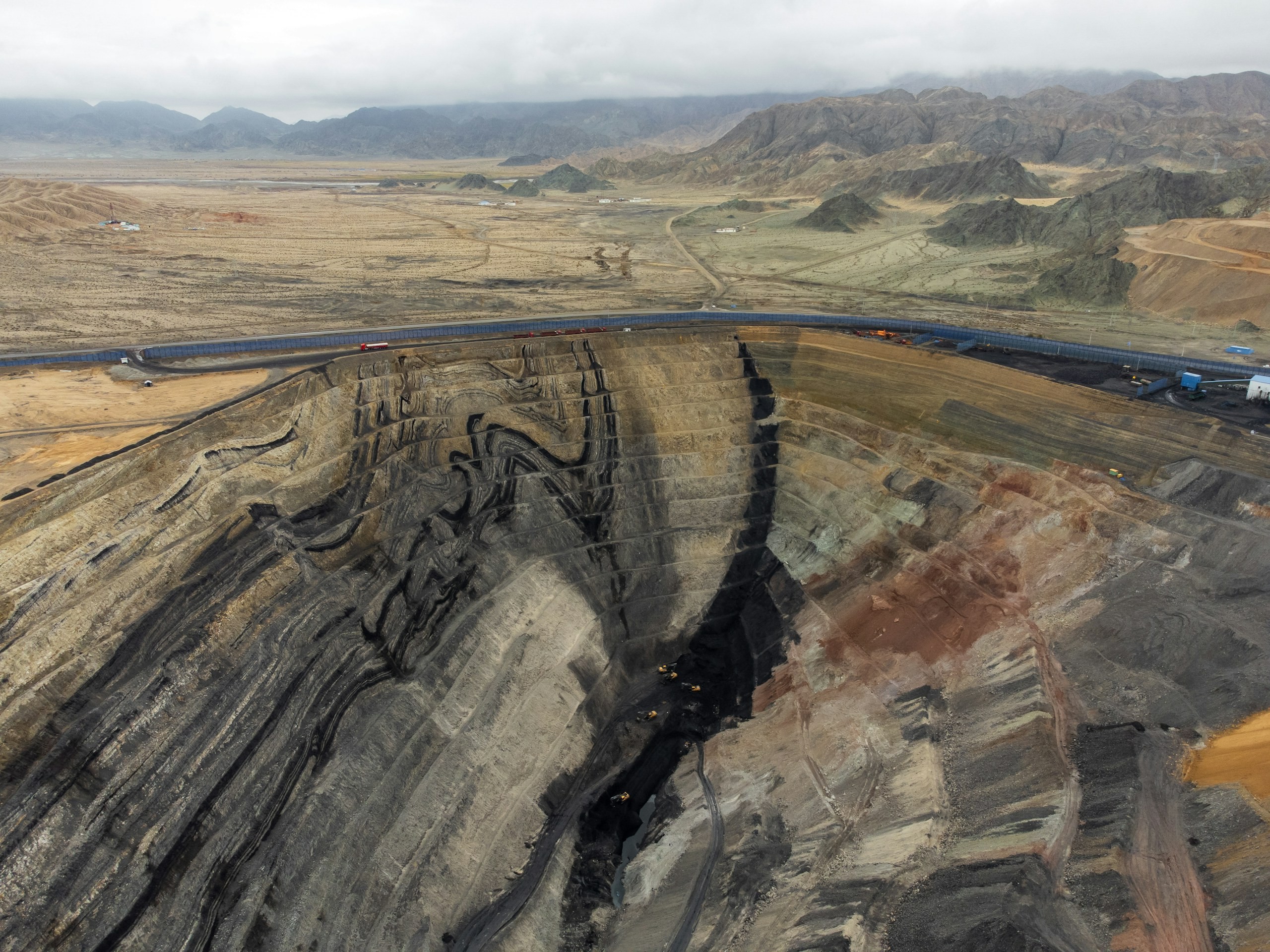
Natural Resources & Mining
Mining and natural-resource operations require accurate, spatially referenced intelligence across terrain, volumes, extraction areas and operational sites. Our solutions combine UAV and LiDAR surveys, photogrammetry, terrain modelling, volumetric analysis, remote sensing, GIS and spatial analytics for precise measurement, monitoring and operational planning.
Explore sector
Delivery record
Across industries, scales and systems.
400+
Projects Delivered
400+
Specialists & Experts
5
Global Locations
160,000+ckm
Power Grid Intelligence & Asset Inspection
170,000+km
Highway & Transportation Digital Infrastructure
100,000+sq km
Urban Geospatial Intelligence & Digital Mapping
400,000+ha
Water Resources & Irrigation Intelligence
20,000+sq km
Aerial & Remote Sensing Intelligence
The cross
Which solution serves which sector.
One ecosystem. Capabilities that span industries.
| Aerial & UAV Survey | Remote Sensing & Photogrammetry | Statutory Reports & GIS Consulting | Data & Locational Analytics | WebGIS Analytics Dashboards | Digital Twin Solutions | Asset Tracking & IoT | System Integration | Enterprise Implementation | Engineering Consulting | |
|---|---|---|---|---|---|---|---|---|---|---|
| Infrastructure | Yes | Yes | Yes | Yes | Yes | Yes | Yes | Yes | No | Yes |
| Water Resources | No | Yes | Yes | No | Yes | No | Yes | No | Yes | Yes |
| Utility & Energy | Yes | No | Yes | Yes | Yes | Yes | Yes | Yes | No | No |
| Environment, Forest & Climate Change | No | Yes | Yes | No | Yes | No | No | No | Yes | Yes |
| Urban Development & Land Governance | Yes | No | Yes | Yes | No | Yes | No | Yes | Yes | No |
| Archaeology & Heritage | Yes | No | No | No | No | Yes | No | No | No | No |
| Natural Resources & Mining | Yes | Yes | No | Yes | No | No | No | No | No | No |
Let’s solve the spatial challenge
Tell us what you’re trying to build, map, monitor or manage. From large-scale surveys and geospatial intelligence to digital twins, asset monitoring and enterprise integration, our team can help define the right data, technology and delivery approach for your requirement.
- EnquiriesPanovis@trentar.com
- Registered officeMumbai, India